
Orolik
About this place
Orolik is a village in Stari Jankovci Municipality, 19 kilometres south-east of Vinkovci and 17 kilometres south of Vukovar, standing at 106 metres above sea level amid the farmland of western Syrmia. Its modern streets occupy a landscape settled much earlier: finds around Orolik document prehistoric and Roman-period activity, while late-medieval records call the settlement Žibritovci. A 1498 source places it within the Slakovci estate of the Gereb family, and from 1550 to 1691 it belonged to the Ottoman district of Podgorje. Orolik later formed part of the Military Frontier, whose demographic legacy shaped the village through the 18th and 19th centuries. The Orthodox Church of Saints Peter and Paul was built in 1748, a primary school opened in 1810, and the Roman Catholic Church of Saint Luke followed in 1877. The railway completed in 1891 substantially altered local economic life. South of the village, the protected Gradina–Greda and Bokijevci archaeological site connects present-day Orolik with the much longer history of settlement beside the Bosut.
Orolik belongs to the municipality of Stari Jankovci and occupies the flat, predominantly agricultural landscape of western Srijem. The municipal spatial plan places it within an area of traditional linear settlement, developed along the transport corridor formed by the D46 state road and the Zagreb–Vinkovci–Tovarnik railway. Municipal history records remarkable diversity in late-19th-century Orolik: residents counted in 1890 spoke Croatian, Serbian, German, Hungarian, Slovenian, Italian, Czech, Slovak and Rusyn. This Srijem combination of a farming village, a major transport axis and a formerly multilingual community remains the settlement’s clearest distinguishing character.
Things to see
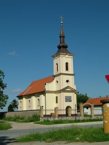
Church of the Nativity of the Virgin
Landmark · Srijemske Laze
church in Srijemske Laze, Croatia
4 km from Orolik
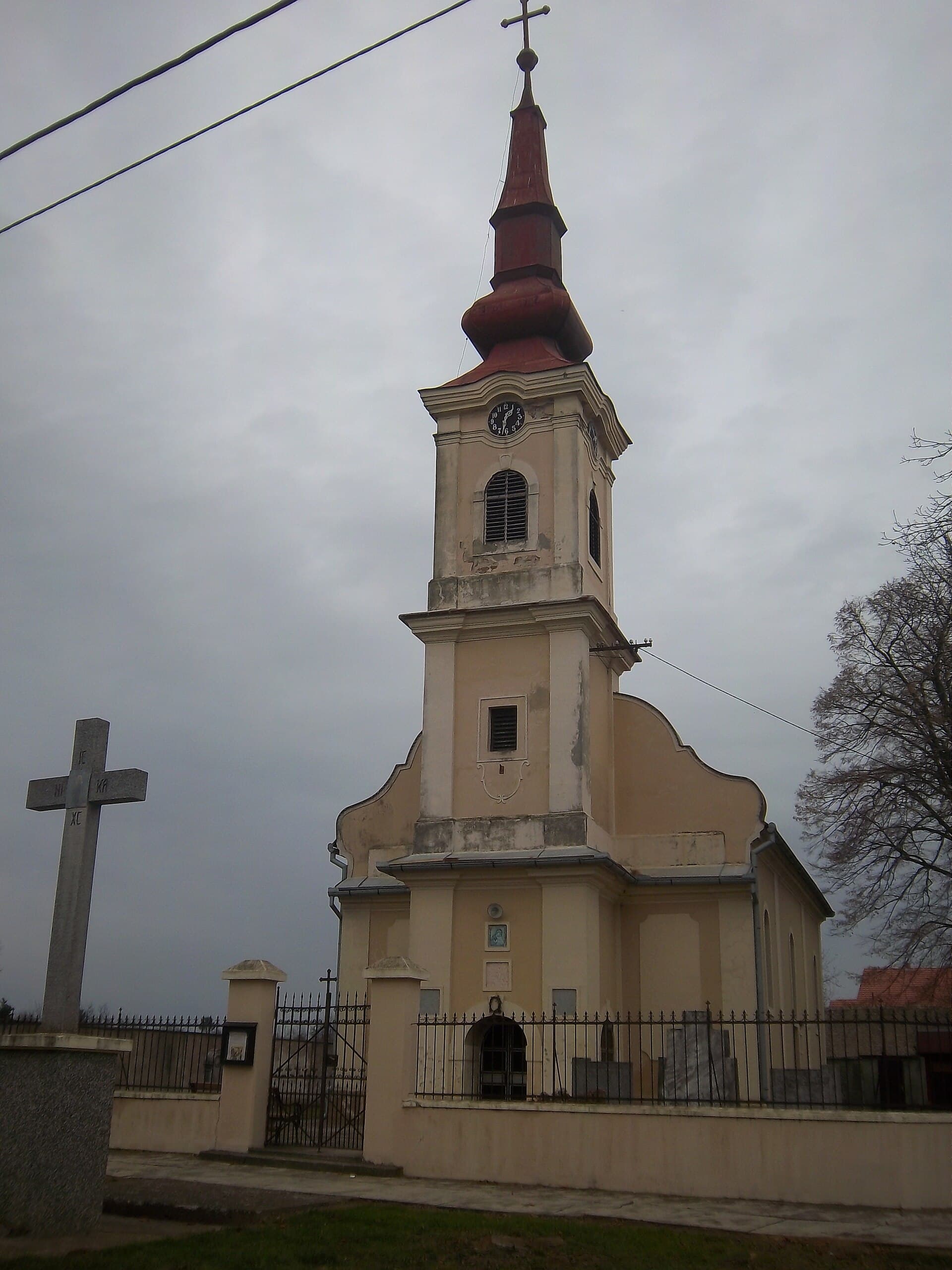
Church of Assumption of Blessed Virgin, Negoslavci
Landmark · Negoslavci
church in Vukovar-Syrmia County, Croatia
6 km from Orolik


Stays
No stays listed here yet
Things to do
Orolik is best explored through the different historical layers preserved across the village and its surrounding fields. The municipal survey identifies the prehistoric settlements of Šuma Aljmaš and Gradina and a prehistoric cemetery, while Oroliška gradina, Oraši, Rajterovo brdo and Vodopad represent Roman-period occupation. Within the village, the traditional linear street pattern reflects the agricultural organisation described for this part of the municipality. The visit can finish by tracing Orolik’s railway story: the line opened here in 1891, with the station constructed 1.6 kilometres from the settlement centre.
Tours and activities
AdAd · partner offers: GetYourGuideThe partner handles booking, payment and support. StayBravo may earn a commission on bookings made through these links.How we choose offersGetYourGuide offers are selected and ordered by GetYourGuide based on the name of the nearest larger town or national park; we do not influence their selection and do not use data about you.GetYourGuide · Vukovar
We show GetYourGuide offers once you allow their cookies.
Practical information
Getting there and around
Orolik’s transport geography is defined by the D46 state road and the Zagreb–Vinkovci–Tovarnik railway, the corridor along which the municipality’s settlements developed. Local railway history began on 7 November 1891 with the opening of the Vinkovci–Mitrovica section. The station was built 1.6 kilometres outside the village centre, a distance that should be allowed for when planning an arrival in Orolik. This corridor directs the settlement towards Vinkovci in the west and Tovarnik in the east, while the D46 follows the same broader axis across the Srijem plain.
Frequently asked questions
When did the railway reach Orolik?
The railway reached Orolik on 7 November 1891, when the Vinkovci–Mitrovica line opened.
How far is the station from central Orolik?
The railway station was built 1.6 kilometres from the centre of Orolik.
Which archaeological sites lie around Orolik?
The fields around Orolik contain the prehistoric sites of Šuma Aljmaš, Gradina and a cemetery, plus the Roman-period locations Oroliška gradina, Oraši, Rajterovo brdo and Vodopad.
Nearby
Orolik
Open in OpenStreetMap(opens in a new tab)straight-line distance
Related guides

Osijek
Tvrđa and the centre around the main square are distinct starting points for understanding Osijek. The former emphasises the fortified historic quarter and Baroque architecture; the latter…
Read the guide

Vukovar
A cultural visit to Vukovar has several separate centres of gravity. Eltz Palace and the City Museum address the city and its inhabitants across different periods. Vučedol reaches much…
Read the guide

Stubičke Toplice
Stubičke Toplice derives almost its entire identity from thermal water and the Zagorje landscape. There is no large urban historic core; green spaces, bathing facilities and traces of the…
Read the guide
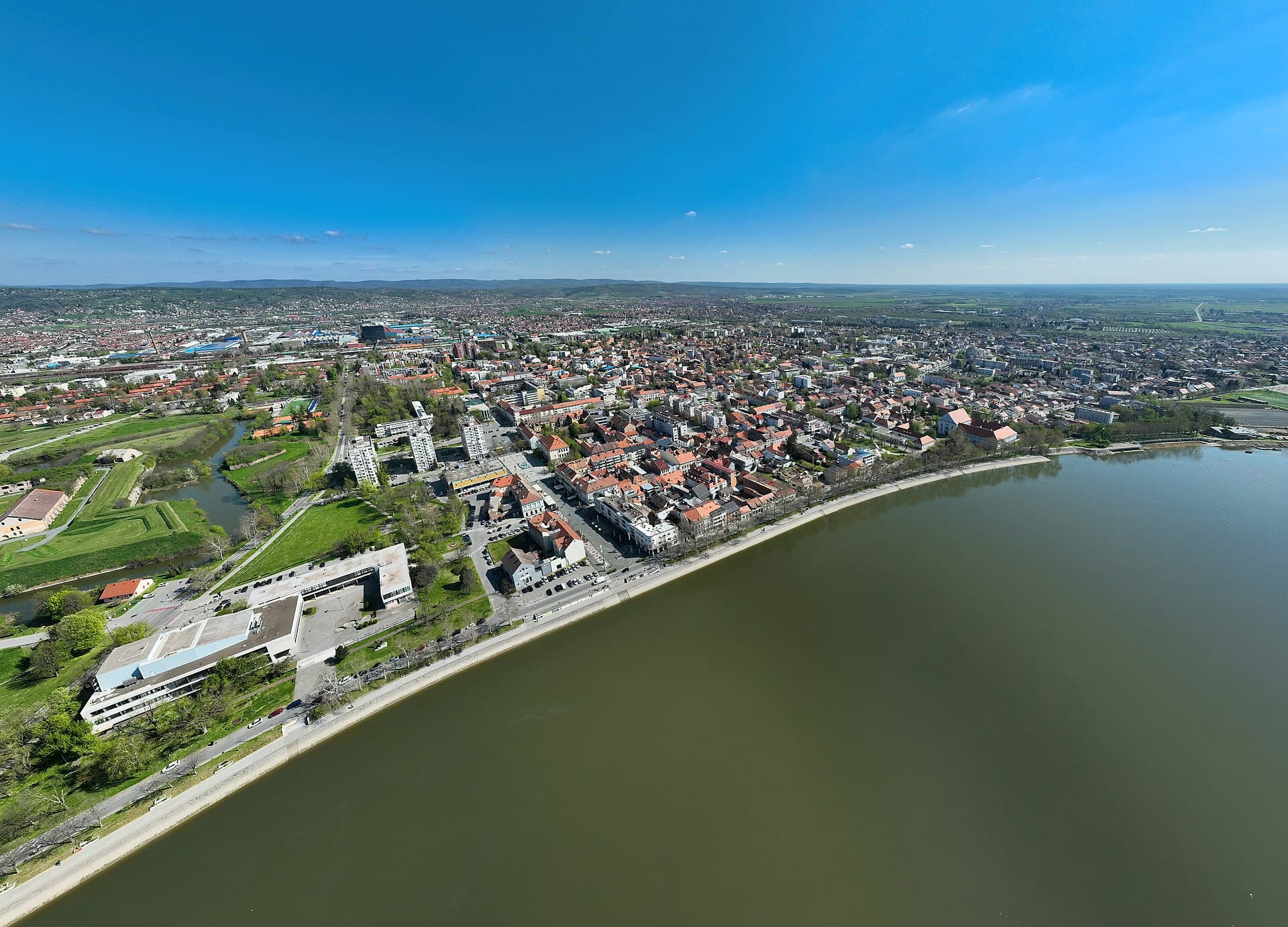
Slavonski Brod
Slavonski Brod developed around one of the major crossings of the Sava, and that border and transport role left a strong mark on the city. Brod Fortress represents the eighteenth-century…
Read the guide
Know Orolik? Correct us
Tell us in your own words what is not accurate. We check right away.Do not enter personal data. Corrections are checked by the StayBravo AI assistant; changes to the description are approved by an editor. Use the form instead
Do you know Orolik?
Help the guests who come after you.
Help us complete
Nothing is published without an editor’s review.Report illegal content
Photo credits: Orolik, Slakovci, Đeletovci, Negoslavci, Novi Jankovci, Banovci, St. Petka's Church — MirkoS18 (CC BY-SA 3.0) · Berak, Svinjarevci, Čakovci, Vinkovački Banovci, Bokšić, Tompojevci, Church of St. Nicholas — MirkoS18 (CC BY-SA 4.0) · Srijemske Laze — MirkoS18 / Srijemske Laze (CC BY-SA 3.0) · Church of the Nativity of the Virgin — Suradniksuradnik (CC BY-SA 3.0) · Osijek — Rp031 (CC BY-SA 4.0) · Vukovar — Bybbisch94, Christian Gebhardt (CC BY-SA 4.0) · Stubičke Toplice — MOs810 (CC BY-SA 4.0) · Slavonski Brod — Petar Milošević (CC BY-SA 4.0)