
Ribnik
About this place
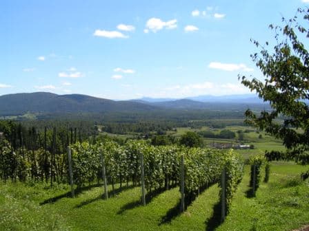
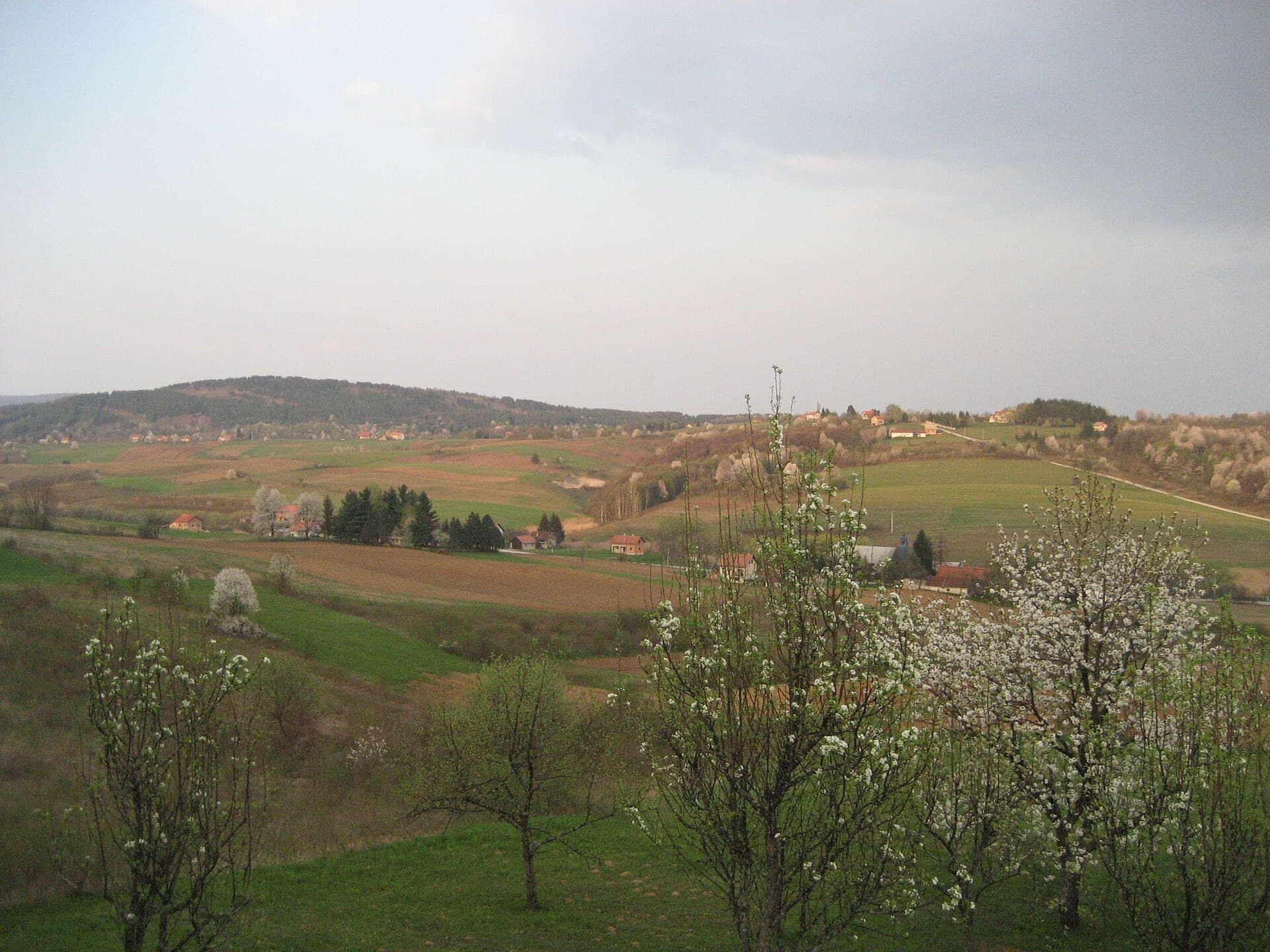
Ribnik is a small Karlovac County settlement in a valley beside the road connecting Karlovac with Jurovski Brod and the Slovenian border. Its focal point is not a town square but Old Ribnik Castle, a rare surviving lowland fortress with an irregular circular plan, formerly defended by water. A fortified site existed here by the 13th century, while the present complex largely took shape under Bernardin Frankopan in the late 15th and early 16th centuries. Ribnik’s name is associated with the fishpond beside the stronghold, whose water formed part of this classic wasserburg defence. Inside the walls are a courtyard, a rectangular entrance tower and a five-sided western tower, making it very different from Croatian castles perched on steep hills. Registered as protected cultural property Z-301, the castle is the principal reason to stop. For a broader view of the surrounding countryside, head towards 538-metre Vodenica, promoted by the county tourist board as a local viewpoint. Ribnik works particularly well as a compact heritage-and-landscape excursion from Karlovac or Ozalj, with time for an unhurried walk around the fortress and nearby hills.
Ribnik is the administrative centre of its municipality and developed beside the historic road that linked Carniola, via Metlika, with Karlovac and Bosnia. Its name derives from the fishpond beside Old Ribnik Castle, where water once completed the lowland fortress’s defensive ring. The castle has an irregular circular plan, an internal courtyard, a rectangular eastern gate tower and a five-sided western tower. A municipal development document describes it as Croatia’s only surviving lowland defensive castle formerly encircled by water, while the county tourist board traces its wasserburg role to the 13th century. Its protected designation, Z-301, confirms the fortress as Ribnik’s defining cultural landmark.
Stays nearby
 Apartment
Apartmeni Klenovica.eu
Klenovica
66 km from Ribnik
up to 4 guests · 1 bedroom
The host confirms the exact price for your dates and availability.
Things to see

Things to do
Devote the first part of the visit to walking around Old Ribnik Castle, where the ring-like walls, eastern gate tower and hollow of the former fishpond are easiest to understand. Then head towards 538-metre Vodenica for views across Ribnik’s rolling countryside. A short heritage circuit through the municipality can continue to Griče and the protected Chapel of Saint Anne, registered as Z-3377. Lipnik contains another listed ensemble, the Church of Saint Elijah the Prophet with its parish house, designated Z-3094. This sequence combines Ribnik’s water castle, its local viewpoint and two rural religious monuments without requiring a detour to a larger town.
Practical information
Getting there and around
Ribnik lies on state road D6, on the route from Karlovac towards Jurovski Brod and the Slovenian border. The village is approximately 25 kilometres by road from Karlovac, making a car the simplest option for combining the castle with the municipality’s scattered villages. From Karlovac, the approach follows the valley towards Metlika, and the fortress stands within the settlement rather than at the end of a steep mountain climb. Travellers continuing across the border should consult current information for Jurovski Brod, while visits to Griče, Lipnik and the approach to Vodenica rely on local roads. Unlike nearby Bosiljevo, Ribnik is not a motorway junction; its transport advantage is its direct position on the old valley route.
Frequently asked questions
Why is Ribnik called a water castle?
Old Ribnik Castle was built in low ground beside a fishpond whose water once formed a defensive barrier around the walls.
What is the castle’s heritage designation?
Old Ribnik Castle is an individually protected cultural property registered under designation Z-301.
Where is the viewpoint above Ribnik?
The local viewpoint is the summit of Vodenica, rising to 538 metres above sea level.
Related guides

Senj
Senj occupies a narrow strip between the sea and the Velebit foothills, so its streets climb quickly from the harbour towards Nehaj Fortress. The Uskoks, the fierce bura wind, seafaring and…
Read the guide
Help improve this page
Spot something missing or wrong? Suggest a correction, add your photo or report a problem. Editors review every suggestion before it is published.
Photo credits
- Ribnik — de:Radoslav Lopašić (1835-1893), Croatian historian and topographer · Public domain · Wikimedia Commons
- Sela Žakanjska — Original uploader was Tealc at hr.wikipedia · Public domain · Wikimedia Commons
- Stari grad Ribnik — Sebastijan1495 · CC BY-SA 4.0 · Wikimedia Commons
- Apartmeni Klenovica.eu — Apartmani Klenovica.eu · courtesy of the property owner
- Senj — Palauenc05 · CC BY-SA 4.0 · Wikimedia Commons
- Rakovica

