
Plaški
About this place
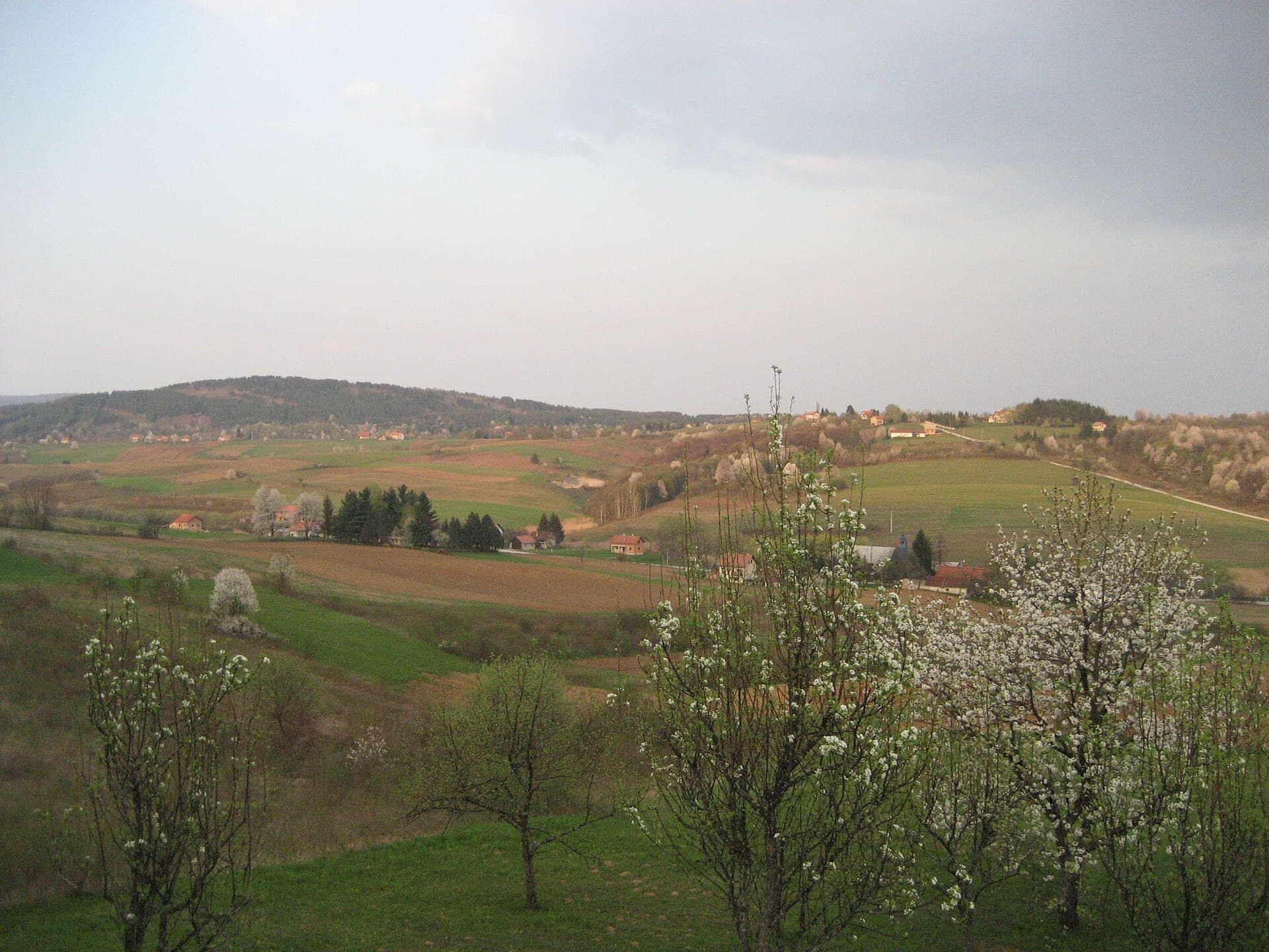
Plaški occupies the broad Plaški polje at an elevation of 385 metres, where the landscapes of Lika, Kordun and Gorski kotar meet. The village lies about 25 kilometres southeast of Ogulin and has a station on the Zagreb–Split railway, making it one of the region’s smaller destinations that can still be reached by train. Its skyline is shaped by two distinctive churches: the Catholic parish church of St Anne, dating from 1807, and the former Orthodox episcopal cathedral, extensively remodelled in the early 20th century. Plaški served as an important seat of the Upper Karlovac Eparchy from the 18th century, which explains the surprisingly monumental Orthodox complex found in this rural setting. Ruins of the medieval stronghold of Plasi survive at Gradine above the surrounding field. Nearby, in the settlement of Jezero, the Sinjac karst spring provides a striking natural counterpoint; explorations have reached a depth of roughly 205 metres. A visit therefore combines the open landscape of Plaški polje, unusual ecclesiastical heritage and the karst waters beneath Mala Kapela.
Plaški has no tightly packed old town; instead, it stretches through a spacious karst field shaped by local waterways. The village is the administrative centre of its municipality, and its position between Ogulin and Mala Kapela historically connected it with the routes of the Military Frontier. The principal landmarks are St Anne’s Church and the former episcopal complex of the Presentation of the Virgin, remodelled in a Historicist scheme associated with architect Janko Holjac. The Orthodox church acquired Russian-inspired features in the early 20th century, an unusual architectural language in Croatia. Plaški is also the birthplace of writer Ulderiko Donadini, while the name of medieval Plasi survives through the ruined stronghold at Gradine.
Stays nearby
 Apartment
Apartmeni Klenovica.eu
Klenovica
41 km from Plaški
up to 4 guests · 1 bedroom
The host confirms the exact price for your dates and availability.
Things to do
Begin at the 1807 parish church of St Anne, then walk to the former Orthodox cathedral to compare Plaški’s Catholic and episcopal heritage. Continue into the open landscape of Plaški polje, which reveals how the settlement sits between the surrounding uplands. For a natural extension to the visit, drive towards the hamlet of Jezero and the Sinjac site, almost beside the Plaški–Saborsko road. Sinjac consists of four submerged karst shafts or basins; one descends into the main explored depth, while the others are blocked at around 50 metres. This is a sensitive deep spring rather than a developed swimming site, so view it from firm ground and avoid the edges unless accompanied by knowledgeable local guides.
Practical information
Getting there and around
Plaški is approximately 25 kilometres southeast of Ogulin, on the road leading towards Saborsko and the Plitvice Lakes area. Plaški station lies on the Zagreb–Ogulin–Knin–Split railway, so a train is useful when the selected Lika service is scheduled to stop here. HŽ Passenger Transport publishes annual timetables and temporary service changes; travellers in 2026 should therefore check the exact departure shortly before setting out. A car is more convenient for continuing to Sinjac in Jezero and for reaching the scattered sites around Plaški polje. The distances separating central Plaški, Gradine and the karst springs make a walking-only tour of the municipality impractical.
Frequently asked questions
Where is the Sinjac spring?
Sinjac lies in the hamlet of Jezero, almost beside the road from Plaški towards Saborsko; exploration has reached a depth of roughly 205 metres.
How far is Plaški from Ogulin?
Plaški is about 25 kilometres southeast of Ogulin and lies on the Zagreb–Split railway.
Where are the ruins of medieval Plasi located?
The ruins of medieval Plasi stand at Gradine, just outside Plaški.
How far is Plaški from Ogulin?
Plaški lies 25 kilometres southeast of Ogulin.


Related guides

Senj
Senj occupies a narrow strip between the sea and the Velebit foothills, so its streets climb quickly from the harbour towards Nehaj Fortress. The Uskoks, the fierce bura wind, seafaring and…
Read the guide
Help improve this page
Spot something missing or wrong? Suggest a correction, add your photo or report a problem. Editors review every suggestion before it is published.
Photo credits
- Plaški — Original uploader was Munjawa at hr.wikipedia · CC BY-SA 3.0 · Wikimedia Commons
- Latin — Falk2 · CC BY-SA 4.0 · Wikimedia Commons
- Jezerane — Fraxinus Croat · CC BY-SA 3.0 · Wikimedia Commons
- Vojnovac — Kiki273 · CC BY-SA 3.0 · Wikimedia Commons
- Apartmeni Klenovica.eu — Apartmani Klenovica.eu · courtesy of the property owner


