Jasenak
About this place
Jasenak is a mountain village on the Ogulin side of the Velika Kapela range, 24 kilometres by road from Ogulin and a long-established gateway to the Bijele and Samarske stijene formations. The village and nearby Vrelo lead into two distinct hiking areas: Jasenak provides access towards the strict reserve, while Vrelo is the starting point for Bjelolasica. Bijele and Samarske stijene received strict-reserve status in 1985 for their exceptional karst landforms, rare plants and forests that retain pockets of near-primeval character. White limestone pinnacles, some rising as much as 50 metres, break through the woodland above sinkholes, clefts and colourful clearings known as mountain gardens. Samarske stijene comprises roughly twenty separate rocky groups, with Ratkovo shelter tucked beneath one of its cliffs. This is rugged mountain terrain rather than a landscaped attraction: approaches combine forest roads with marked paths, and progress among the rocks requires experience, sturdy footwear and dependable weather. Jasenak consequently suits travellers planning a full hiking day in Velika Kapela far better than visitors seeking a quick roadside viewpoint.
Jasenak occupies a broad, forested landscape between Ogulin and Gorski kotar, with the village closely tied to Bjelolasica and the Bijele and Samarske stijene formations. Its identity rests on its role as a trailhead: Ogulin’s official tourism site names Jasenak as the starting point for Bijele and Samarske stijene, whereas walks onto Bjelolasica begin at the nearby hamlet of Vrelo. Jasenačko polje, dense Velika Kapela woodland and limestone terrain that becomes dramatically broken near the reserve shape the immediate surroundings. With urban services some distance away and mountain approaches demanding, Jasenak works best as a quiet base for hikers intending to make an early start.
Things to see
 Strict nature reserve
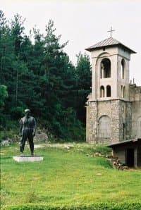
 Significant landscape
 Significant landscape
Stays nearby
- Apartment
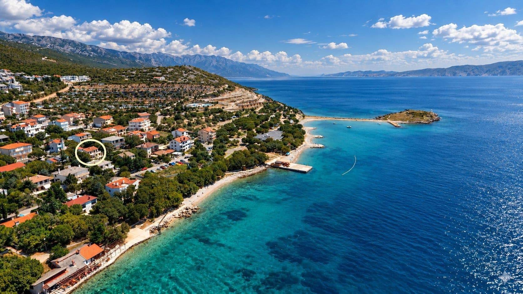 21 km from Jasenak
Be the first to list here
Guests looking for this place only see stays nearby for now. No commission, and enquiries come straight to you.
List your accommodation
Things to do
A day from Jasenak is best devoted to one mountain area, because the limestone maze of Bijele and Samarske stijene makes progress far slower than distance alone suggests. The customary approach to Bijele stijene leaves the village towards the Begova staza forest road before continuing on foot among pinnacles and wooded sinkholes. Samarske stijene provides a different objective: Ratkovo shelter sits beneath a rock overhang amid some twenty separate stone groups. Experienced hikers may consider the more intricate links between the two areas, but strict-reserve status, faint markings on some stretches and exceptionally broken ground call for a map, ample daylight and a conservative return plan.
Tours and activities
AdAd · partner offers: Viator, GetYourGuideThe partner handles booking, payment and support. StayBravo may earn a commission on bookings made through these links.How we choose offersWe choose offers based on the page you are viewing: the partner destination for this place or the nearest one (with its distance), and on a sight page only offers that mention it. We show offers rated at least 4.3 with at least 10 reviews, without multi-day tours or pure transfers, ordered by rating adjusted for the number of reviews and then by the partner’s order. We do not use data about you, and the commission does not affect the order.GetYourGuide offers are selected and ordered by GetYourGuide based on the name of the nearest larger town or national park; we do not influence their selection and do not use data about you.Viator
Nearest destination: Kvarner (29 km)
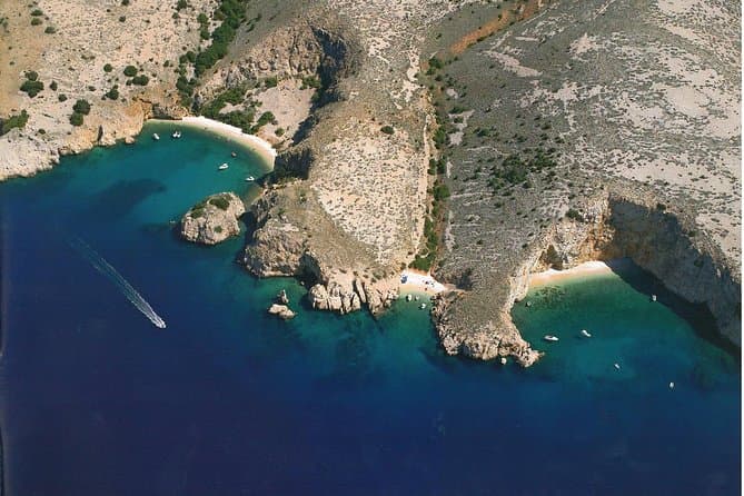
Private Wild Bays Boat Trip with Captain Bobo (opens in a new tab)
A relaxing half-day excursion, in the season, with less boat ride and more swimming in the perfectly clear sea and sunbathing on the most beautiful beaches of the northern Adriatic, ideal for all…
Rated 5 out of 5 · 50 reviews· 3.5 h
Free cancellation
from €190
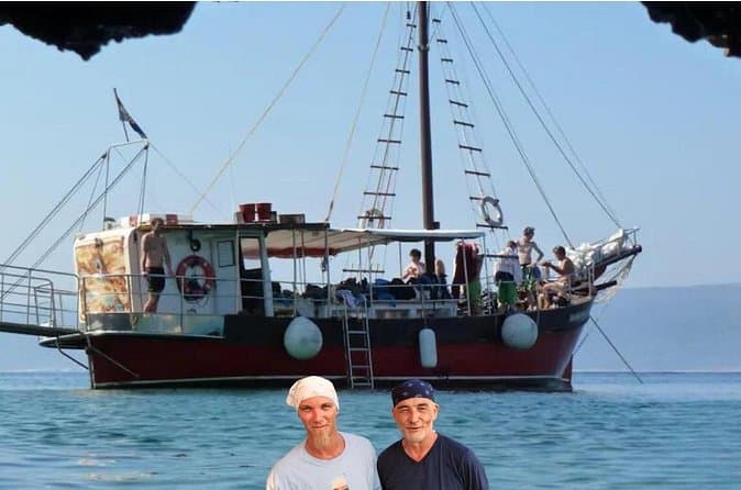
Discover Island Plavnik with a Pirate Ship ALL INCLUSIVE !! (opens in a new tab)
Discover the unique nature of Plavnik Island and the Wild bays in 8 hours with our captain Toni and his son Borna. Explore the blue cave and admire the rare griffon vultures. Swim in the small bays…
Rated 5 out of 5 · 23 reviews· 8 h
Free cancellation
from €45
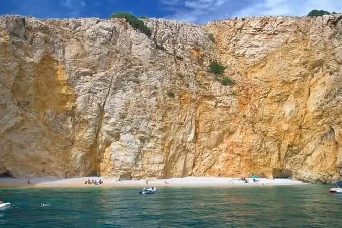
PUBLIC 3,5h Swimming and Snorkeling on the Wild Bays (opens in a new tab)
A relaxing public half-day excursion (3,5h), with less boat ride and more swimming and snorkeling in the perfect clear sea, and sunbathing on the most beautiful beaches of the northern Adriatic…
Rated 5 out of 5 · 22 reviews· 3.5 h
Free cancellation
from €37
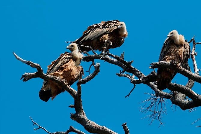
Private Plavnik Island Half-Day boat trip with capt. Bobo (opens in a new tab)
If you want a little more adventure, come with me to Plavnik, second largest uninhabited island in Croatia. After an hour boat ride, we reach the northern coast of the island Plavnik, which reveals…
Rated 4.9 out of 5 · 22 reviews· 5 h
Free cancellation
from €340
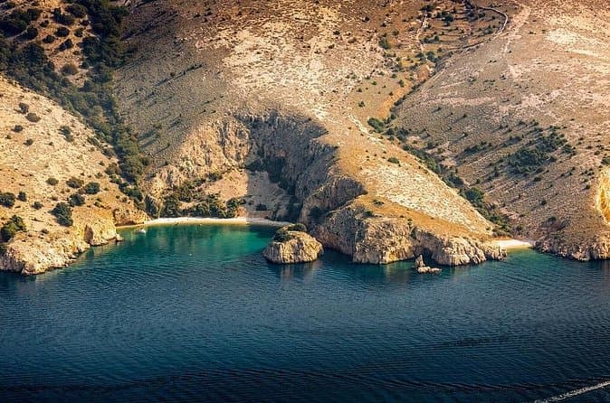
Private 7,5h Plavnik Island & Wild Bays Full-day Boat Trip (opens in a new tab)
If you like to sail with local traditional boats and enjoy the endless blue of the beautiful Adriatic Sea and you are not too big a fan of mass tourism, then this is the best option for you. After…
Rated 5 out of 5 · 13 reviews· 7.5 h
Free cancellation
from €650
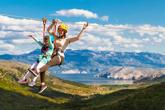
Zipline Experience Krk (opens in a new tab)
This is a attraction on the island of Krk and the whole of Croatia, intended for families and adventure lovers. We offers our visitors an unforgettable experience; driving our jeep, walking among…
Rated 4.7 out of 5 · 114 reviews· 2 h
Free cancellation
from €80
GetYourGuide · Crikvenica
We show GetYourGuide offers once you allow their cookies.
Practical information
Getting there and around
Jasenak lies about 24 kilometres by road from Ogulin, with the usual driving approach leaving the town towards Jezerane and the former Bjelolasica Croatian Olympic Centre. Reaching the trail approaches for Bijele and Samarske stijene requires local and forest roads, including the unpaved Begova staza, so having a car does not remove the need to check current access conditions. Trains serve Ogulin, but weak onward bus connections to Jasenak make public transport impractical for a full-day hike. Return arrangements should therefore be built around a private vehicle or transport booked in advance from Ogulin.
Frequently asked questions
Where does the Bijele stijene approach begin from Jasenak?
The customary approach follows the road from Jasenak towards Jezerane for about two kilometres, then turns onto the unpaved Begova staza towards the hiking start.
Is the Bijele and Samarske stijene area protected?
The area was designated a strict reserve in 1985, Croatia’s most restrictive protection category for preserving natural processes.
Does the Bjelolasica route start in Jasenak itself?
The stated trailhead for Bjelolasica is Vrelo, a hamlet of Jasenak, while Jasenak proper serves as the gateway to Bijele and Samarske stijene.
Nearby
Jasenak
Open in OpenStreetMap(opens in a new tab)Smaller places
straight-line distance
Related guides

Karlobag
Karlobag occupies a narrow strip between the Velebit Channel and the mountain’s steep western slopes, facing the island of Pag. The Adriatic Highway passes through town, while the D25…
Read the guide

Karlovac
Karlovac began as a deliberately planned fortified town, and the present-day centre is still defined by the geometry of the Zvijezda and by the river corridors surrounding it. Rather than a…
Read the guide
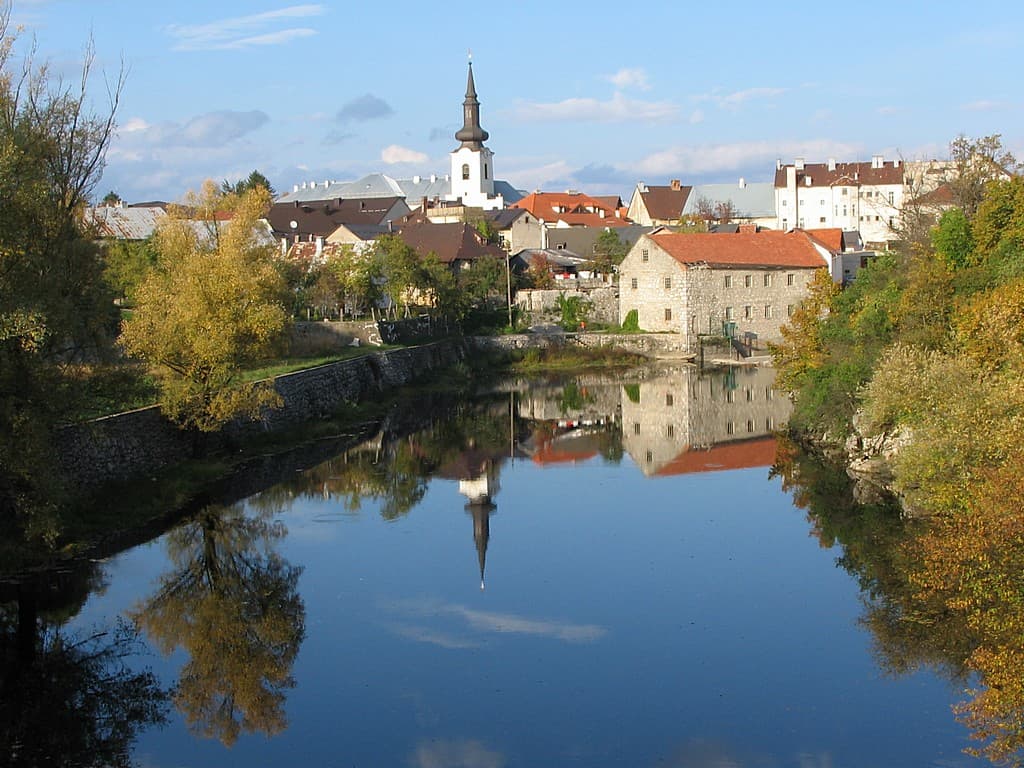
Gospić
Gospić is the principal urban centre of Lika-Senj County, yet as a visitor destination it is difficult to separate from the broad Lika field and nearby Velebit. The official tourist board…
Read the guide
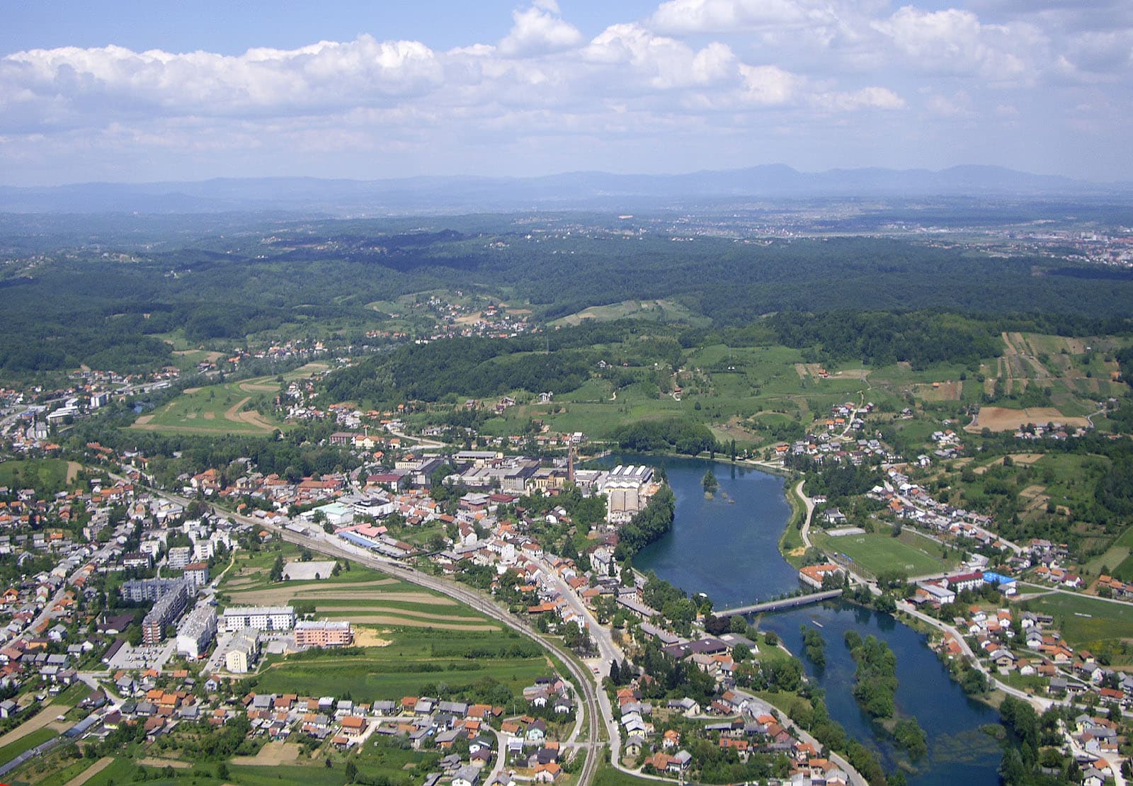
Duga Resa
Duga Resa is a town whose development is inseparable from the Mrežnica. The river runs through the settlement and serves simultaneously as a recreational space, natural landmark and part of…
Read the guide
Know Jasenak? Correct us
Tell us in your own words what is not accurate. We check right away.Do not enter personal data. Corrections are checked by the StayBravo AI assistant; changes to the description are approved by an editor. Use the form instead
Do you know Jasenak?
Help the guests who come after you.
Help us complete
Nothing is published without an editor’s review.Report illegal content
Photo credits: Potok Musulinski — Uther (razgovor) (Public domain) · Drežnica — Blazv (CC BY-SA 3.0) · Hreljin Ogulinski — Igorsvedic (CC BY-SA 4.0) · Gomirje — LalalaB at Croatian Wikipedia (CC BY-SA 3.0) · Bijele i Samarske stijene — Croq (CC BY-SA 3.0) · Kamačnik River, Kamačnik Canyon — Modzzak (CC BY-SA 3.0) · Apartmani Klenovica.eu — Ljiljana Pavkovic (courtesy of the property owner) · Karlobag — Orlovic (Public domain) · Karlovac — Bukovacka (CC BY-SA 4.0) · Gospić — INekic (CC BY-SA 4.0) · Duga Resa — Tomica at English Wikipedia (CC BY-SA 3.0)