
Cetingrad
About this place
Cetingrad is a small municipal centre in the Kordun region, standing on the road between Slunj and Velika Kladuša, 19 kilometres north-east of Slunj and only a few kilometres from the Bosnian border. The present settlement developed near the ruins of Cetin, a fortress that controlled this sensitive frontier for centuries. Croatian nobles gathered there on 31 December 1526 and 1 January 1527, when they elected Ferdinand I of Habsburg as king of Croatia. Cetin subsequently became a key stronghold against Ottoman expansion, changed hands between Habsburg and Ottoman forces, and was largely demolished by Military Frontier authorities in 1865. Its surviving fabric includes the Drenđula defensive tower, stretches of wall and polygonal bastions belonging to different construction phases. In Cetingrad itself, the rebuilt parish church of the Assumption represents a parish founded between 1802 and 1805. This is not a destination packed with curated attractions; its appeal lies in a focused encounter with the Parliament of Cetin, frontier history and the green hills along the Croatian–Bosnian border.
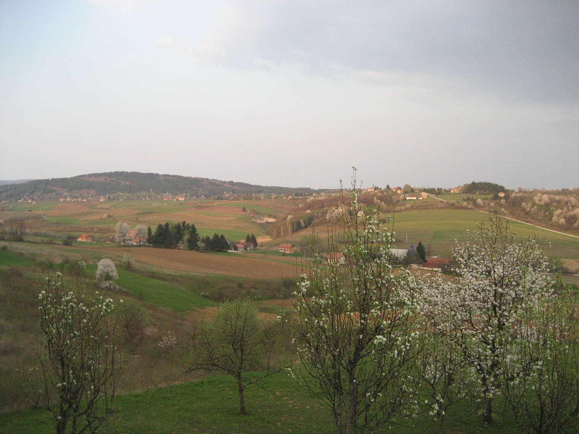
Cetingrad stands in the Kordun region at an elevation of 239 metres, beside the Slunj–Velika Kladuša road. Its present name points to nearby Cetin, while the settlement itself was known as Vališ Selo until 1900. The municipality meets the border with Bosnia and Herzegovina and contains 36 villages, including Maljevac, Batnoga, Podcetin and Tatar Varoš. Farmland and rounded hills shape the surroundings, where livestock raising and the production of milk and cheese have long formed part of the local economy. The defining historical feature, however, is Cetin: a medieval stronghold associated with the Frankopan family, the site of the 1527 parliament and a later frontier fortress contested by the Habsburg and Ottoman worlds.
Stays
No stays listed here yet
Things to see

Things to do
Start at the ruins of Cetin above Podcetin and examine the surviving walls, bastions and Drenđula, the oldest defensive tower. At the site, consider the events of 1 January 1527, when part of the Croatian nobility elected Ferdinand of Habsburg after King Louis II had died at Mohács. Back in Cetingrad, visit the parish church of the Assumption, rebuilt after its destruction during the Croatian War of Independence. Complete the route by looking towards the road through Maljevac to Velika Kladuša: this border geography explains Cetin’s military importance from the wars against the Ottomans through the era of the Military Frontier.
Practical information
Getting there and around
Cetingrad has no railway station; the principal road approach runs from Slunj towards Maljevac and Velika Kladuša. Under the county timetable effective from 7 April 2026, weekday route 69 leaves Karlovac at 14:30 and travels via Vojnić and Maljevac to Cetingrad, while the return departure from Cetingrad is at 06:15. During the same timetable period, weekday route 70 links Cetingrad with Vojnić via Dunjak, leaving Vojnić at 13:35 and Cetingrad at 06:30. Since these services are designed mainly around school and working days, a car remains more practical for reaching the Cetin ruins and the municipality’s scattered villages.
Frequently asked questions
How far is Cetingrad from Slunj?
The Croatian Encyclopedia places Cetingrad 19 kilometres north-east of Slunj.
Which feature of Cetin fortress stands out?
Drenđula is identified as the oldest defensive tower within the ruins of Cetin.

Related guides

Senj
Senj occupies a narrow strip between the sea and the Velebit foothills, so its streets climb quickly from the harbour towards Nehaj Fortress. The Uskoks, the fierce bura wind, seafaring and…
Read the guide
Help improve this page
Spot something missing or wrong? Suggest a correction, add your photo or report a problem. Editors review every suggestion before it is published.
Photo credits
- Cetingrad, Cetin Castle, Slunj — Neoneo13 · Public domain · Wikimedia Commons
- Maljevac — Julian Nyča · CC BY-SA 3.0 · Wikimedia Commons
- Senj — Palauenc05 · CC BY-SA 4.0 · Wikimedia Commons
- Rakovica — Modzzak · CC BY-SA 3.0

