
Hreljin
About this place
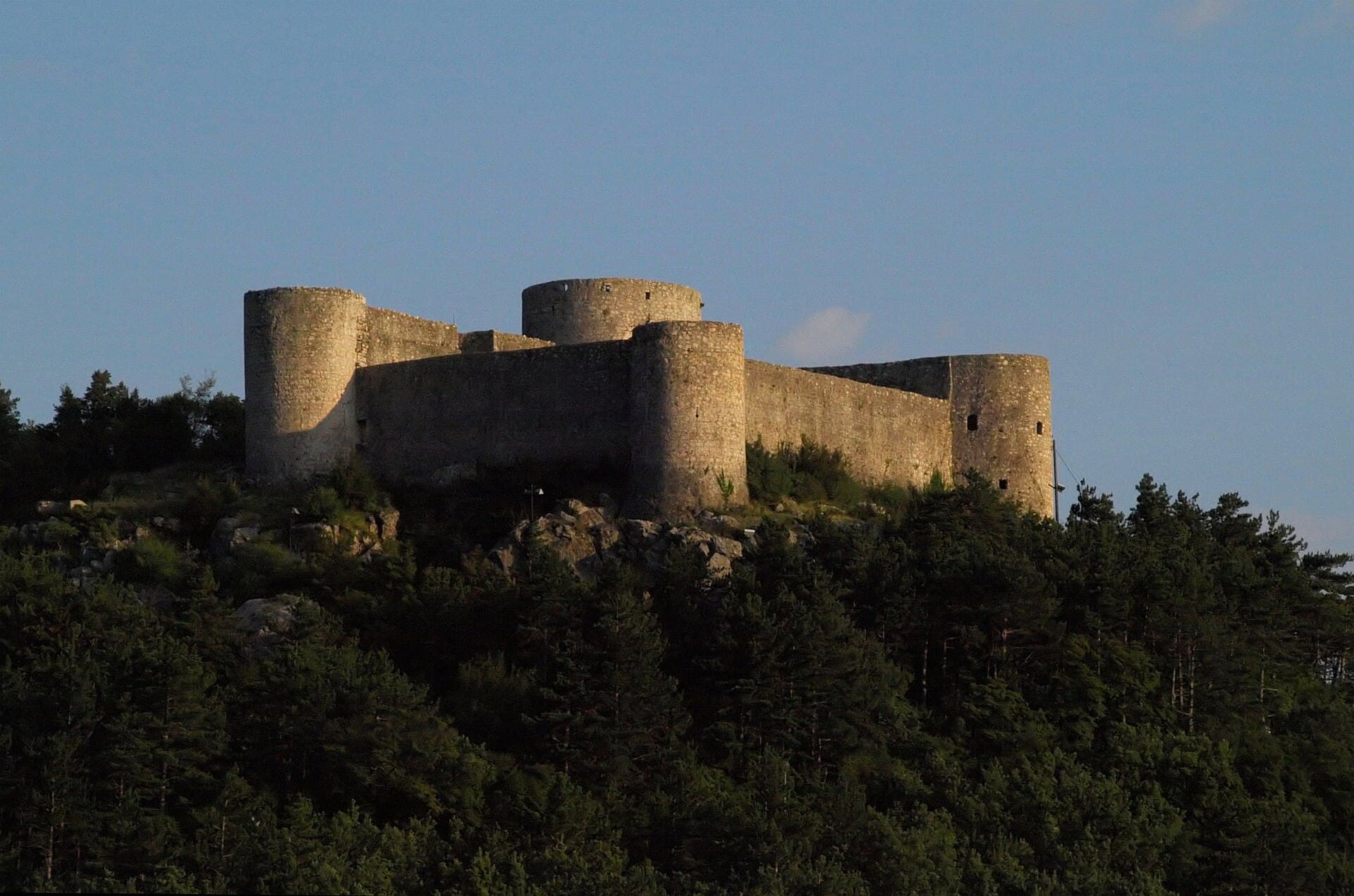
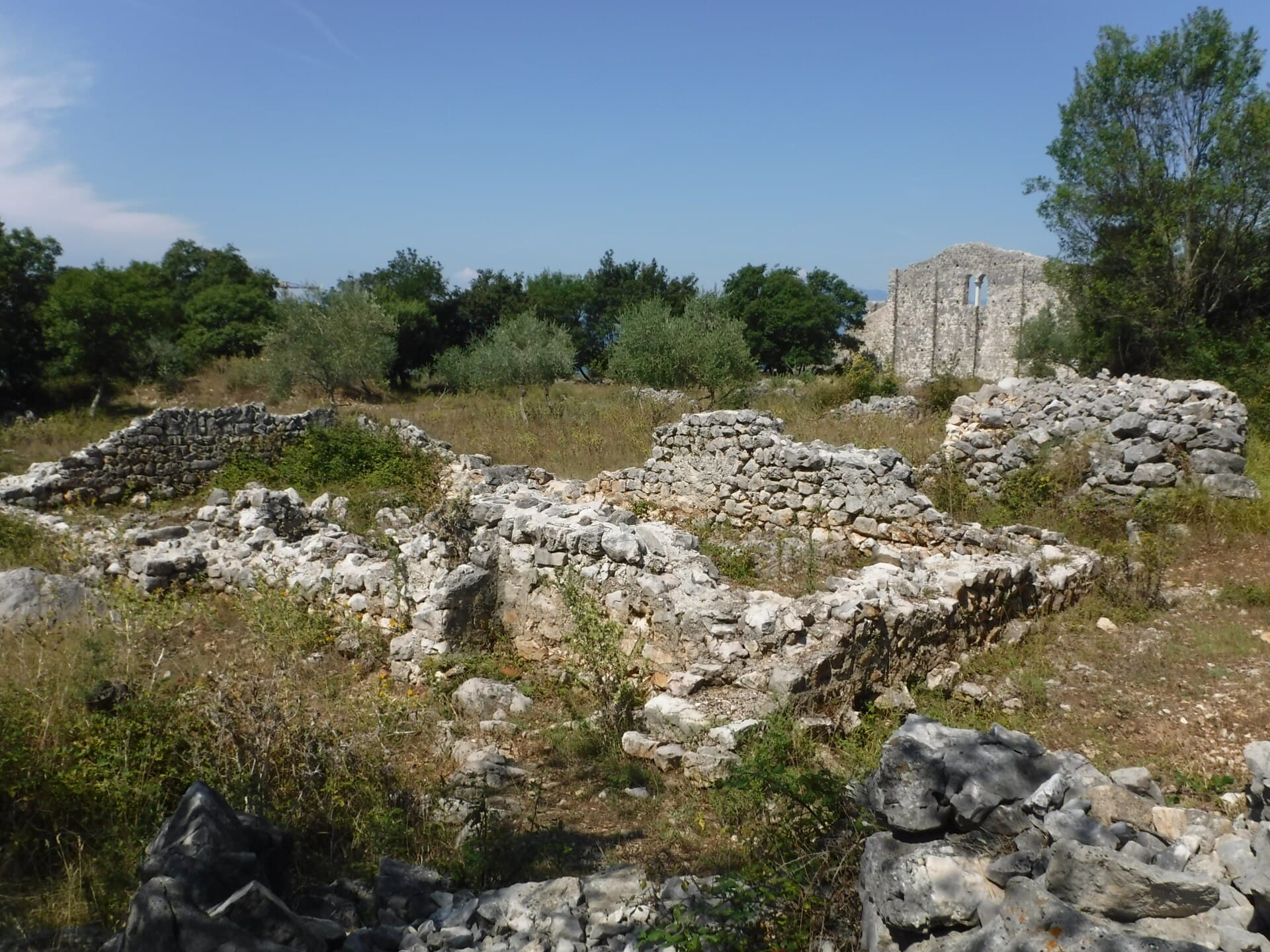
Hreljin rises above Bakar Bay and Bakarac where the Kvarner coast meets the hilly hinterland of the Town of Bakar. Its principal landmark stands outside the present village centre: Hreljinska Gradina, the ruins of a medieval town occupying a steep cliff 321 metres above the sea. Old Hreljin was first recorded in 1225, when King Andrew II granted the Vinodol principality to the Counts of Krk, later known as the Frankopans. Its final three residents left in 1790; surviving features include defensive walls, the bell tower and ruins of St George’s Church, and the small Church of Our Lady of the Snows. A 1.6-kilometre themed path called Put gradine leads to the ruins, with interpretation panels and puzzles from the Frankopan Adventure. Views extend over Bakar Bay, Krk Bridge and the Kvarner islands. Hreljin itself has no seaside beach, so swimmers descend to Bakarac and its chain of concrete bathing spots. Suburban Autotrolej buses connect the village with the Rijeka area, though a car is more convenient for combining the ruins, Bakarac and nearby countryside.
Hreljin is a Town of Bakar settlement, 307 metres above sea level, beside the Karolina Road built in 1732 and high above the Bay of Bakar. Its present-day centre is distinct from Hreljin Gradina, the ruins of a medieval fortified town on a cliff above Bakarac, once Hreljin’s harbour. The fortress is first recorded in 1225; the Frankopans and, from 1550 to 1670, the Zrinskis shaped its later rule. In today’s Hreljin, the Baroque parish church of St George stands at the centre, while the 1.6-kilometre Gradina Path leads towards the old town.
Things to see

Stays nearby
- Apartment
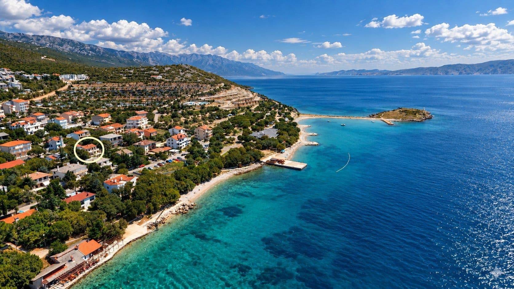 28 km from Hreljin
Be the first to list here
Guests looking for this place only see stays nearby for now. No commission, and enquiries come straight to you.
List your accommodation
Beaches
Hreljin stands above the sea and has no beach of its own, making Bakarac at the foot of the slope the natural choice for swimming. Along the Adriatic Highway, its concrete bathing places appear in sequence: Zminca, Kupalište, Mala plažica, Palada, Skalada, Melina, Prva kućica, Sridnja kućica, Sansovo and Kavranić. Springs and submarine freshwater outlets keep Bakar Bay noticeably cool, which makes Bakarac especially refreshing on the hottest days. Most bathing platforms are narrow and follow the road, creating a very different experience from the broad pebble coves found on more exposed parts of the Kvarner coast. Sea quality is officially monitored at the Bakarac entrance bathing site. An early start from Hreljin is sensible in summer because space beside the waterfront is limited.
Bathing water quality nearby
- Bakarac kupalište na ulazu · 1.8 kmexcellent
- Bakarac - uvala Dobra · 1.9 kmexcellent
- Sansovo · 2.2 kmexcellent
- Carevo · 3.0 kmexcellent
Source: European Environment Agency (EEA); data from Croatian authorities. · bathing water profile
Things to do
Follow Put gradine, the 1.6-kilometre themed trail leading from Hreljin to the medieval ruins. Interpretation points and the Frankopan Adventure game introduce the fortified town’s former rulers, while the final stretch reveals Bakar Bay below. At Gradina, explore the remains of the castle and old Church of St George, then pause at the cliff edge for the route’s defining view. Back in the village, compare the abandoned hilltop site with Hreljin’s Baroque parish church of St George; visiting them in that order makes the settlement’s shift towards the Carolina Road especially clear.
Tours and activities
AdAd · partner offers: Viator, GetYourGuideThe partner handles booking, payment and support. StayBravo may earn a commission on bookings made through these links.How we choose offersWe choose offers based on the page you are viewing: the partner destination for this place or the nearest one (with its distance), and on a sight page only offers that mention it. We show offers rated at least 4.3 with at least 10 reviews, without multi-day tours or pure transfers, ordered by rating adjusted for the number of reviews and then by the partner’s order. We do not use data about you, and the commission does not affect the order.GetYourGuide offers are selected and ordered by GetYourGuide based on the name of the nearest larger town or national park; we do not influence their selection and do not use data about you.Viator
Nearest destination: Kvarner (13 km)
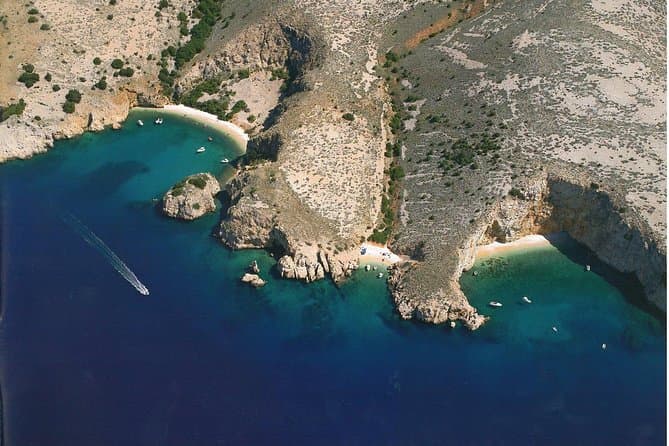
Private Wild Bays Boat Trip with Captain Bobo (opens in a new tab)
A relaxing half-day excursion, in the season, with less boat ride and more swimming in the perfectly clear sea and sunbathing on the most beautiful beaches of the northern Adriatic, ideal for all…
Rated 5 out of 5 · 50 reviews· 3.5 h
Free cancellation
from €190
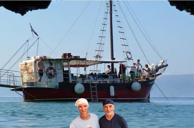
Discover Island Plavnik with a Pirate Ship ALL INCLUSIVE !! (opens in a new tab)
Discover the unique nature of Plavnik Island and the Wild bays in 8 hours with our captain Toni and his son Borna. Explore the blue cave and admire the rare griffon vultures. Swim in the small bays…
Rated 5 out of 5 · 23 reviews· 8 h
Free cancellation
from €45
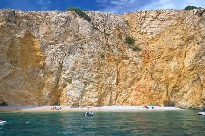
PUBLIC 3,5h Swimming and Snorkeling on the Wild Bays (opens in a new tab)
A relaxing public half-day excursion (3,5h), with less boat ride and more swimming and snorkeling in the perfect clear sea, and sunbathing on the most beautiful beaches of the northern Adriatic…
Rated 5 out of 5 · 22 reviews· 3.5 h
Free cancellation
from €37
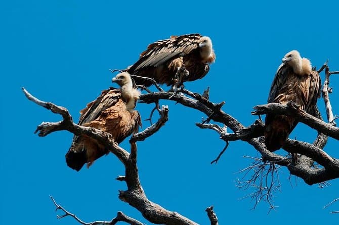
Private Plavnik Island Half-Day boat trip with capt. Bobo (opens in a new tab)
If you want a little more adventure, come with me to Plavnik, second largest uninhabited island in Croatia. After an hour boat ride, we reach the northern coast of the island Plavnik, which reveals…
Rated 4.9 out of 5 · 22 reviews· 5 h
Free cancellation
from €340
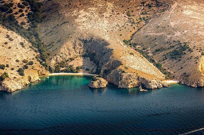
Private 7,5h Plavnik Island & Wild Bays Full-day Boat Trip (opens in a new tab)
If you like to sail with local traditional boats and enjoy the endless blue of the beautiful Adriatic Sea and you are not too big a fan of mass tourism, then this is the best option for you. After…
Rated 5 out of 5 · 13 reviews· 7.5 h
Free cancellation
from €650
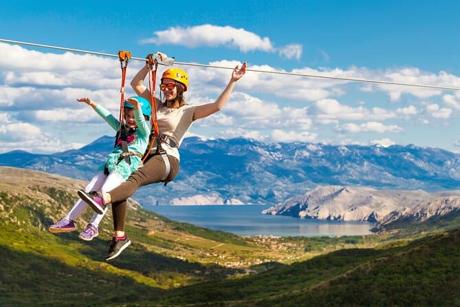
Zipline Experience Krk (opens in a new tab)
This is a attraction on the island of Krk and the whole of Croatia, intended for families and adventure lovers. We offers our visitors an unforgettable experience; driving our jeep, walking among…
Rated 4.7 out of 5 · 114 reviews· 2 h
Free cancellation
from €80
GetYourGuide · Crikvenica
We show GetYourGuide offers once you allow their cookies.
Practical information
Getting there and around
Hreljin forms part of Rijeka’s suburban Autotrolej network, with route 26 linking the Rijeka area, Hreljin and settlements towards Zlobin. Several stops serve the village, including points near the church, old turning circle, Fister, Melnice and Lonja, rather than a single roadside terminal. Timetables should be checked for the intended travel day because departures change, and Hreljin’s primary school directs passengers to the operator’s official suburban schedules. A car makes it easier to descend to Bakarac and continue towards Bakar, Kraljevica or Krk Bridge. No bus reaches Hreljinska Gradina itself: the final approach is the 1.6-kilometre themed walking path from the modern settlement.
Frequently asked questions
How long is the Put gradine trail?
The themed trail from Hreljin to Hreljinska Gradina is 1.6 kilometres long and includes Frankopan Adventure interpretation panels.
What survives at Hreljinska Gradina?
Visitors can see sections of the walls, the bell tower and ruins of St George’s Church, and the small Church of Our Lady of the Snows.
Where can visitors swim near Hreljin?
The nearest chain of established bathing spots is in Bakarac, where concrete beaches line the shore from Zminca to Kavranić.
Nearby
Hreljin
Open in OpenStreetMap(opens in a new tab)Smaller places
straight-line distance
Related guides
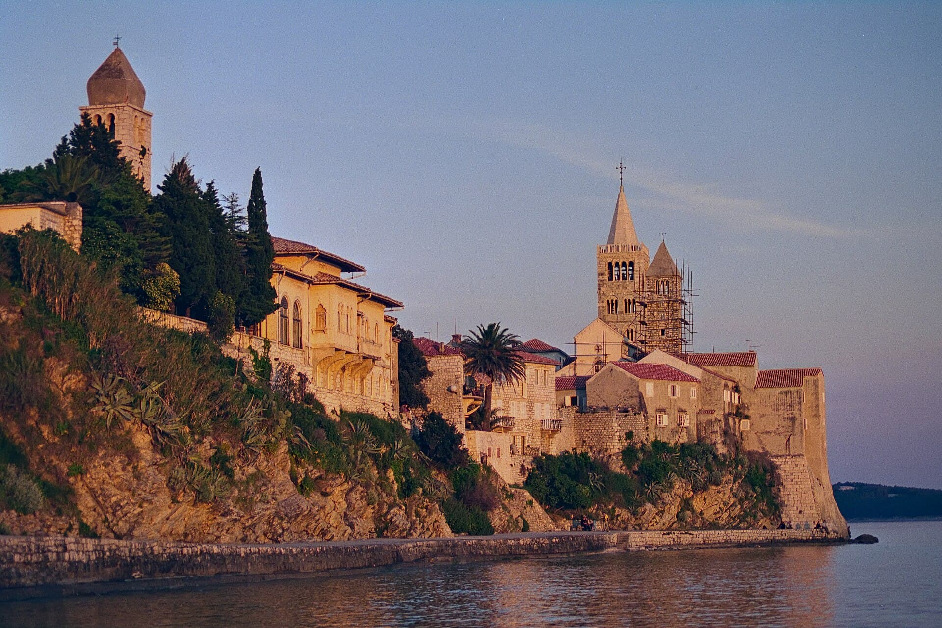
Rab
Rab's old town has a clear silhouette, but it rewards more than a postcard view. Its four towers mark distinct religious sites: the Assumption of Mary, St John the Evangelist, St Andrew and…
Read the guide
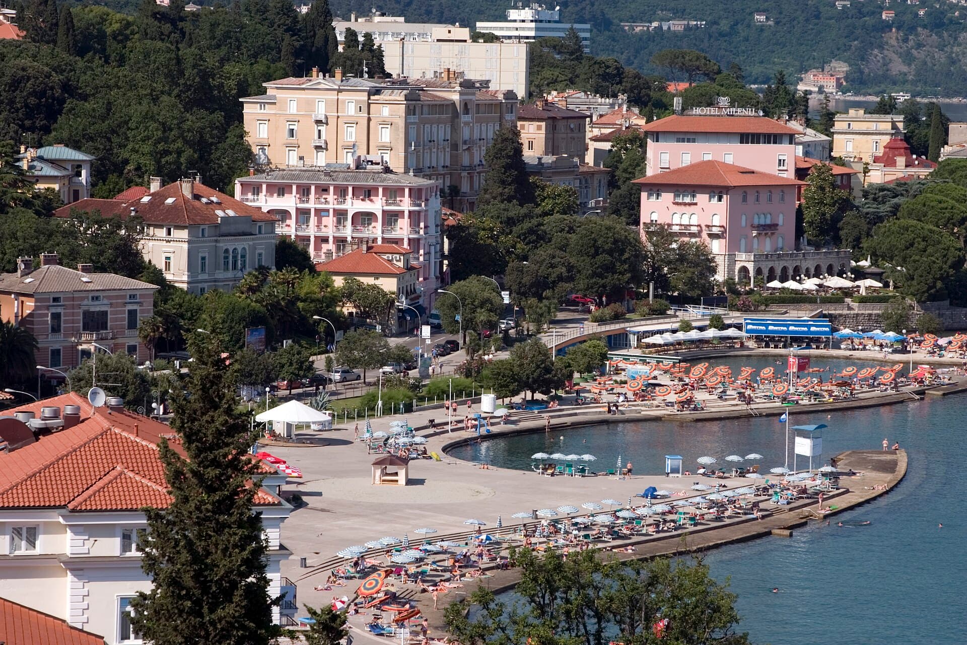
Opatija
Opatija's central experience revolves around the shore and parks. The Lungomare is a connection, not an obligation to complete the entire route in one outing. Treat Angiolina and St James's…
Read the guide
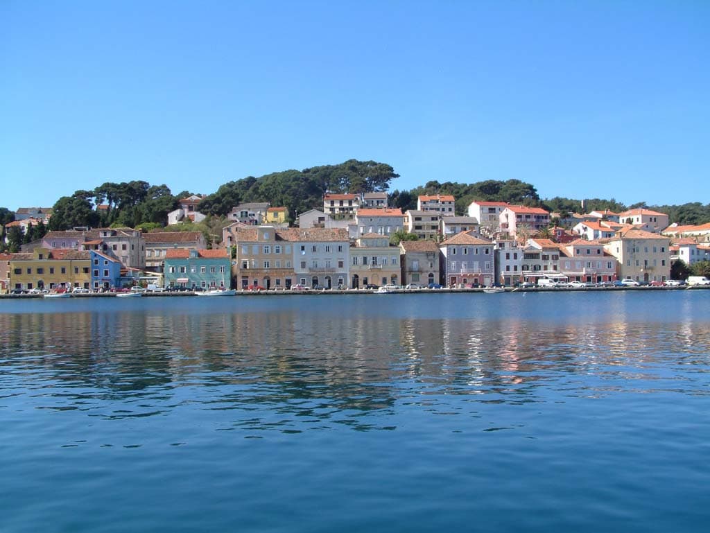
Mali Lošinj
Use the harbour as your starting point, but do not reduce Mali Lošinj to its waterfront. The Apoxyomenos Museum belongs to this everyday urban setting, whereas Čikat offers a different…
Read the guide
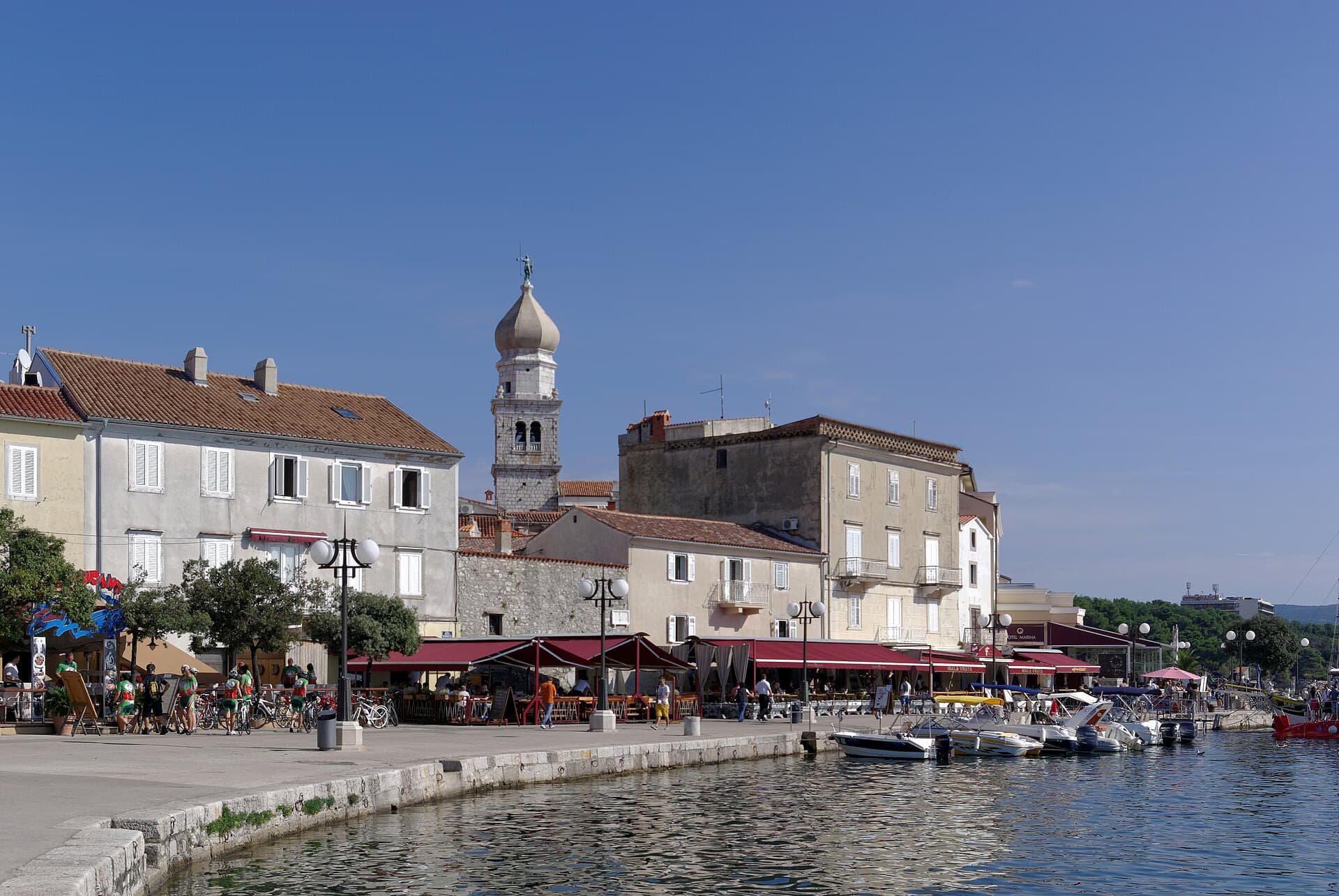
Krk
Kamplin makes a useful starting point because several aspects of the town meet in a small area. The castle's defensive architecture stands alongside the religious complex, while changes in…
Read the guide
Know Hreljin? Correct us
Tell us in your own words what is not accurate. We check right away.Do not enter personal data. Corrections are checked by the StayBravo AI assistant; changes to the description are approved by an editor. Use the form instead
Do you know Hreljin?
Help the guests who come after you.
Help us complete
Nothing is published without an editor’s review.Report illegal content
Photo credits: Hreljin — Igorst051 (Public domain) · Bakarac — Modzzak (CC BY-SA 3.0) · Križišće, Kraljevica, Šmrika, Krasica, Bakar, Hreljin Castle — Roberta F. (CC BY-SA 3.0) · Praputnjak — Ante Perkovic 06:58, 6 March 2007 (UTC) (CC BY-SA 2.5) · Zlobin — MickMorton (CC0) · Drivenik — Sl-Ziga (Public domain) · Jadranovo — We El (Public domain) · Drivenik Castle — Andrzej Walczak (CC BY-SA 3.0) · Fulfinum — Derbrauni (CC BY-SA 4.0) · Biserujka cave — Steffen 962 (Public domain) · Apartmani Klenovica.eu — Ljiljana Pavkovic (courtesy of the property owner) · Rab — Herbert Ortner (CC BY 4.0) · Opatija — Jimmy Harris (CC BY 2.0) · Mali Lošinj — K. Korlevic (Public domain) · Krk — Berthold Werner (CC BY-SA 3.0)