
Vranjic
About this place
Vranjic is Solin’s peninsula at the eastern end of Kaštela Bay, north of Split. Once an islet, it is now joined to the mainland by a narrow strip of land. Its close-packed houses and winding lanes trace the peninsula’s oval shape, earning it the name Little Venice more than a century ago. The setting is more than picturesque: in Roman times it formed part of ancient Salona’s harbour area, while underwater investigations have established settlement from the Late Bronze Age. Vranjic is first recorded as an independent settlement in the 11th century. Begin with the QR-linked “Naše malo misto” guide at the Don Frane Bulić Cultural Centre, then follow its maritime and sacred landmarks. St Martin’s parish church, the Chapel of Our Lady of Freedom and the story of Vranjic-born archaeologist Frane Bulić give the walk a distinctly local focus. July’s Little Venice Evening continues that seafaring tradition on the waterfront.
Administratively part of Solin, Vranjic feels unlike an ordinary inland suburb: its historic houses crowd onto a former islet and its lanes curve with the shore. Archaeological evidence connects the peninsula with prehistory and Roman Salona, while Thomas the Archdeacon recorded Hurania as an island holding an archbishop’s fortified estate. New settlers from Dalmatia’s interior reshaped the community during the late 17th and early 18th centuries. Vranjic also retains a pronounced maritime identity, expressed through its waterfront, shipbuilding heritage and association with Salona’s harbour. The locally focused guide “Naše malo misto,” launched in 2025, was created specifically to interpret this unusually layered peninsula.
Things to see
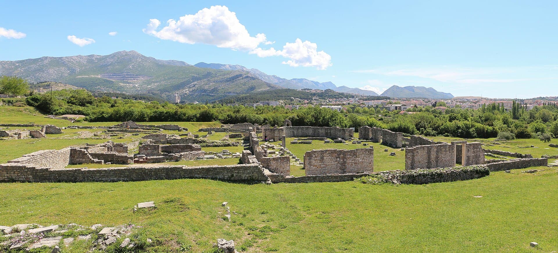
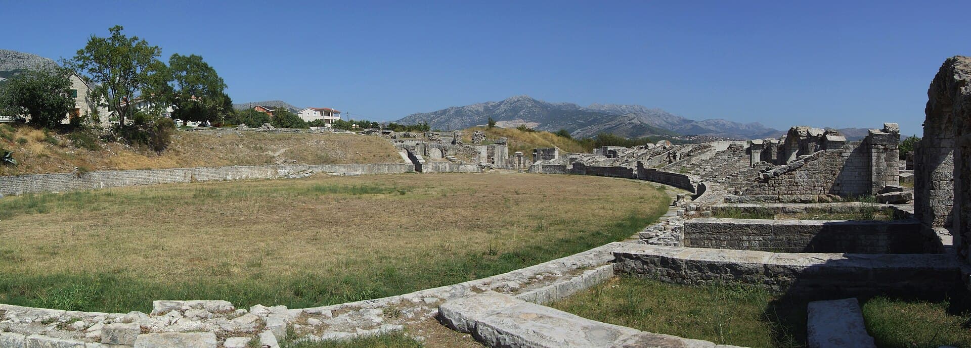
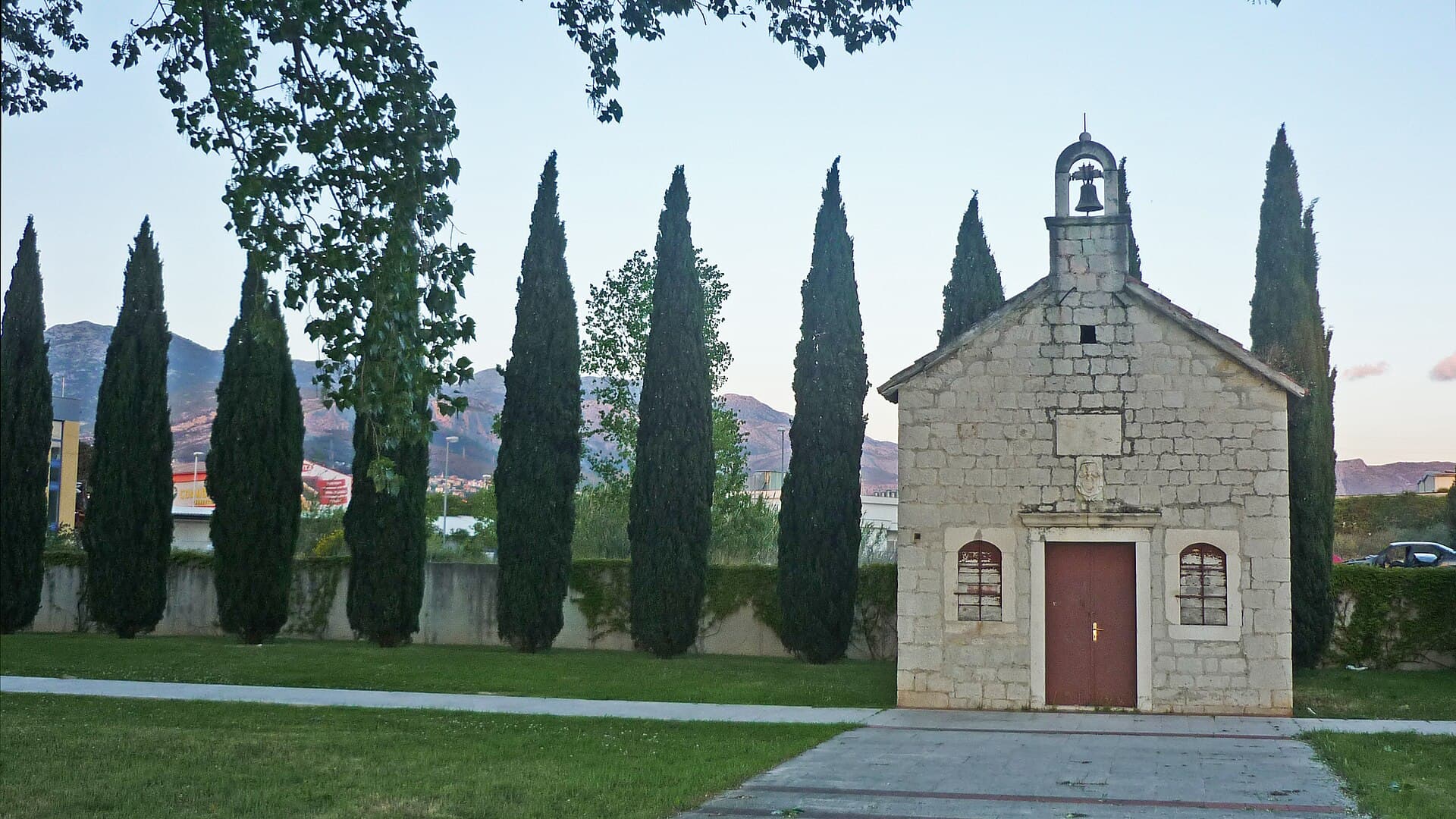
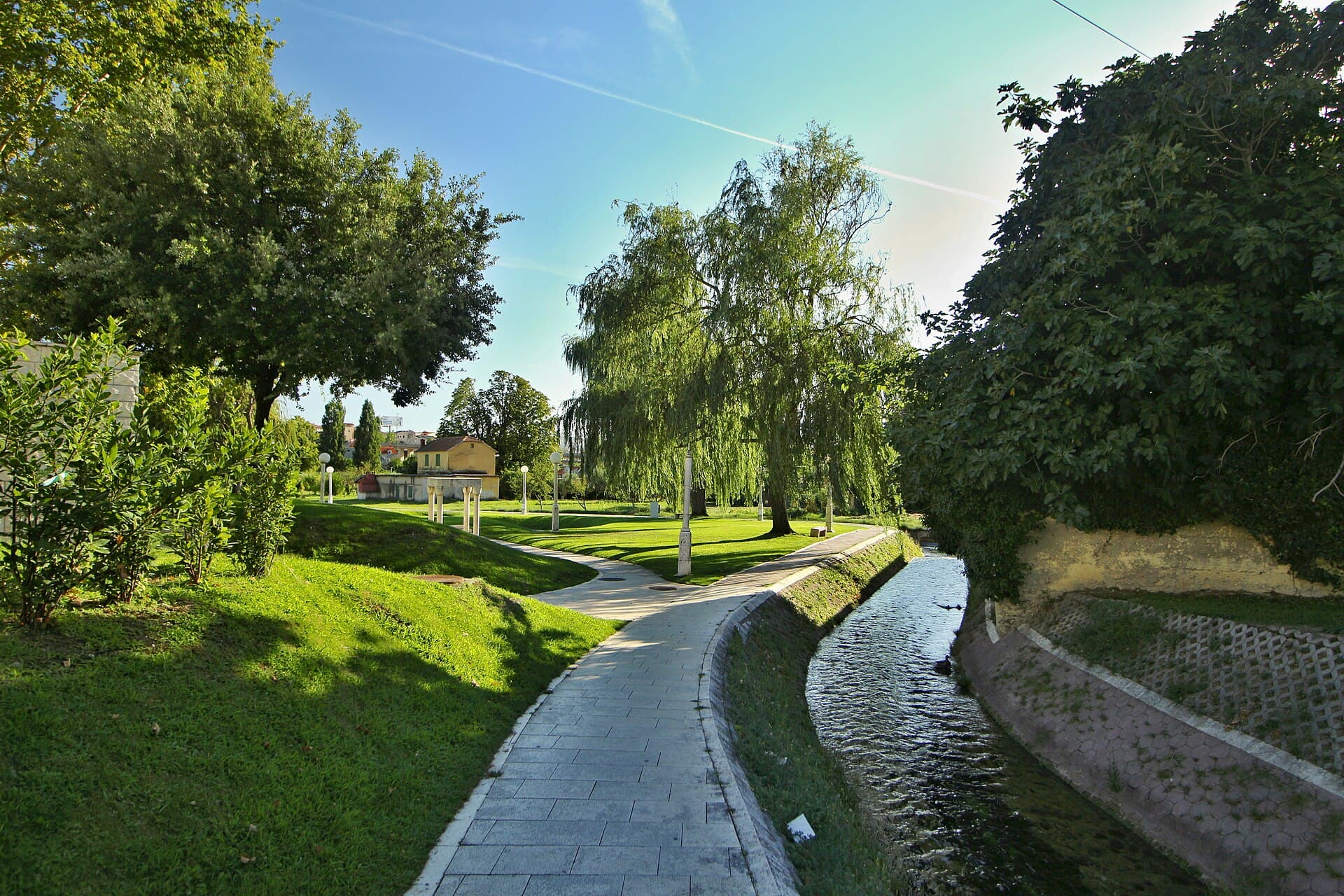
Gospin otok
Landmark · Solin
island in the Jadro River and burial place for members of the Croatian royal family in the urban area of Solin, Croatia
1 km from Vranjic
Stays nearby
- Apartment
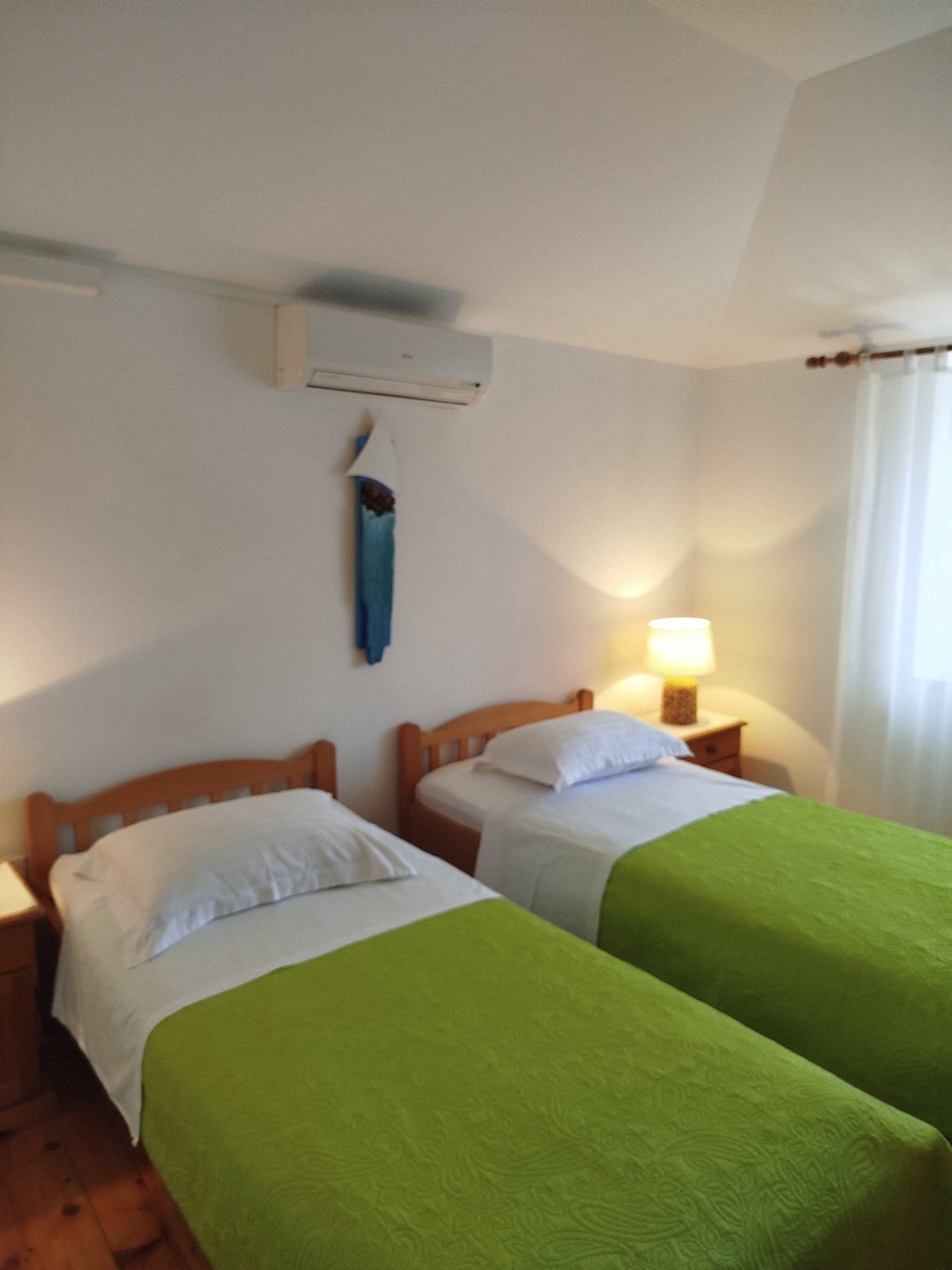 3 km from Vranjic
- Apartment
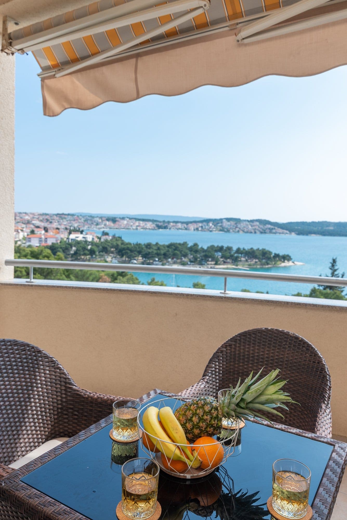 18 km from Vranjic
Be the first to list here
Guests looking for this place only see stays nearby for now. No commission, and enquiries come straight to you.
List your accommodation
Beaches
Kosica is the only named bathing spot in Vranjic documented by local official sources, but it should not be presented as a fully developed, carefree resort beach. Solin’s spatial plan provides for a future bathing area with removable seasonal facilities, yet ties detailed development to prior asbestos remediation on land reclaimed beside the former Salonit works. The Solin tourist board also recorded the installation of swimmer safety nets at a Vranjic beach in 2021, as part of the same programme that covered Mramorna. Visitors seeking a full beach day are better served by established bathing areas elsewhere around Split; in Vranjic itself, the stronger coastal experience is a walk around the old peninsula and a view across Kaštela Bay.
Bathing water quality nearby
- Vranjic plaža · 796 mnot classified
Source: European Environment Agency (EEA); data from Croatian authorities. · bathing water profile
Things to do
Begin at the Don Frane Bulić Cultural Centre, where the mapped “Naše malo misto” display uses a QR code to unlock stories about the peninsula. Continue through the narrow lanes to St Martin’s Church, whose fabric includes older masonry and reused Roman stone. A circuit of the waterfront then reveals the oval outline of the former island and its position within Kaštela Bay. The shipyard remains an active industrial site rather than a visitor attraction, but views from public waterfront space help explain Vranjic’s enduring boatbuilding identity. Complete the historical sequence at nearby Salona, where the amphitheatre, Manastirine cemetery complex and Roman urban remains provide the broader setting for finds made around Vranjic.
Tours and activities
AdAd · partner offers: Viator, GetYourGuideThe partner handles booking, payment and support. StayBravo may earn a commission on bookings made through these links.How we choose offersWe choose offers based on the page you are viewing: the partner destination for this place or the nearest one (with its distance), and on a sight page only offers that mention it. We show offers rated at least 4.3 with at least 10 reviews, without multi-day tours or pure transfers, ordered by rating adjusted for the number of reviews and then by the partner’s order. We do not use data about you, and the commission does not affect the order.GetYourGuide offers are selected and ordered by GetYourGuide based on the name of the nearest larger town or national park; we do not influence their selection and do not use data about you.GetYourGuide · Split
We show GetYourGuide offers once you allow their cookies.
Viator
Nearest destination: Split (2 km)
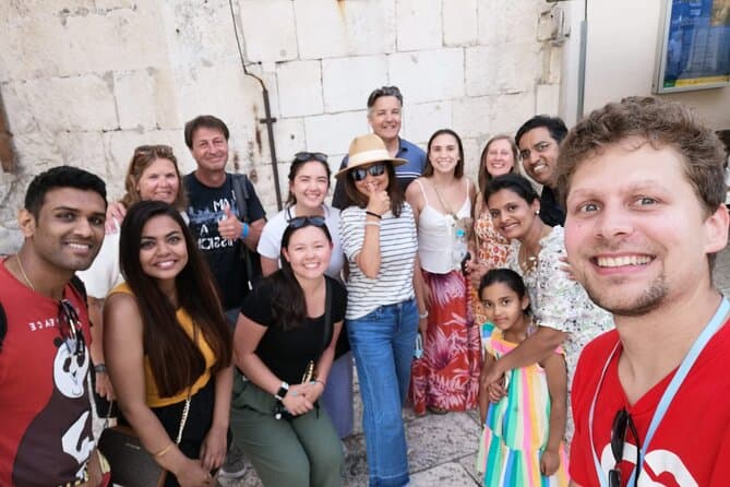
Split Walking Tour with Professor of History (opens in a new tab)
Private tours - [email protected] Professor of history and experienced local guide that started a new tour inside a city. Visiting Diocletians palace is great, but visiting Palace, Medieval…
Rated 5 out of 5 · 1,403 reviews· 2.3 h
Free cancellation
from €20
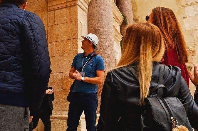
Split Small-Group Walking Tour with a Magister of History (opens in a new tab)
Explore Split on a small-group walking tour led by Toni, a local historian with academic training, a Master’s degree in History, and experience as a former teacher. Discover the city’s key landmarks…
Rated 5 out of 5 · 1,332 reviews· 1.7–1.8 h
Free cancellation
from €24.90
GROUP/ PRIVATE Walking History Tour of SPLIT with Daniela (opens in a new tab)
Discover Split with Daniela, a licensed local guide with more than 15 years of experience in tourism and a true passion for history! On this relaxed walking tour, you will explore Diocletian’s…
Rated 5 out of 5 · 223 reviews· 1.8–2 h
Free cancellation
from €27.81
The Best of Split Private Tour (opens in a new tab)
Hidden Gems & Diocletian Palace, Exclusive Split Private Tour Having traveled extensively worldwide, I understand what makes an exceptional private excursion. I design my tours for sophisticated…
Rated 5 out of 5 · 365 reviews· 2.5 h
Free cancellation
from €160
Walking Tour of Split and Diocletian's Palace - Small Group Tour (opens in a new tab)
Our guides are well educated and generally well liked by the guests we've had in the past. On the tour you'll see and learn about all the important highlights of Diocletian's Palace and it's (and…
Rated 5 out of 5 · 2,732 reviews· 1.5 h
Free cancellation
from €15

Rafting on Cetina River Departure from Split or Blato na Cetini village (opens in a new tab)
Rafting through crystal green waters of Cetina river. Adventure and relaxation river experience. Daily departures from Split city center.
Rated 5 out of 5 · 884 reviews· 6 h
Free cancellation
from €40
Practical information
Getting there and around
From Split, take Promet Split bus route 31, Vranjic–Split. The operator’s timetable, valid from 22 December 2025, has separate departures for weekdays, Saturdays, and Sundays/public holidays; the 13:10 weekday departure is operated by route 36. By car, the principal approach is Krešimirova Street, county road Ž6138, a 1.65-km link between central Vranjic and the wider road network. On the peninsula itself, Obala pomoraca follows a one-way circular traffic pattern.
Frequently asked questions
Why is Vranjic called Little Venice?
The nickname reflects its picturesque peninsula, waterfront and tightly packed old core, whose lanes follow the oval outline of the former island.
Where was Don Frane Bulić born?
Archaeologist and long-serving director of Split’s Archaeological Museum Don Frane Bulić was born in Vranjic on 4 October 1846.
Which bus runs from Vranjic to Split?
Promet route 31 connects Vranjic with Split, with selected 2025/2026 journeys provided by routes 33 and 36.
Nearby
Vranjic
Open in OpenStreetMap(opens in a new tab)Larger towns
straight-line distance
Related guides
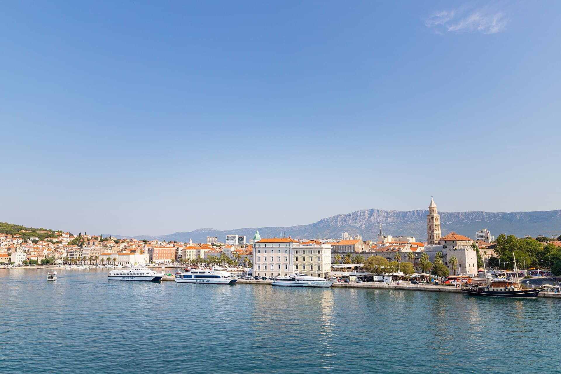
Split
In Split, the transition from ancient monument to ordinary street is almost imperceptible: entering the southern part of Diocletian’s Palace from the Riva leads towards the Peristyle, then…
Read the guide

Baška Voda
Baška Voda lies in the western part of the Makarska Riviera directly below the Biokovo massif. Once a fishing and seafaring settlement, it developed into a resort whose centre remains…
Read the guide
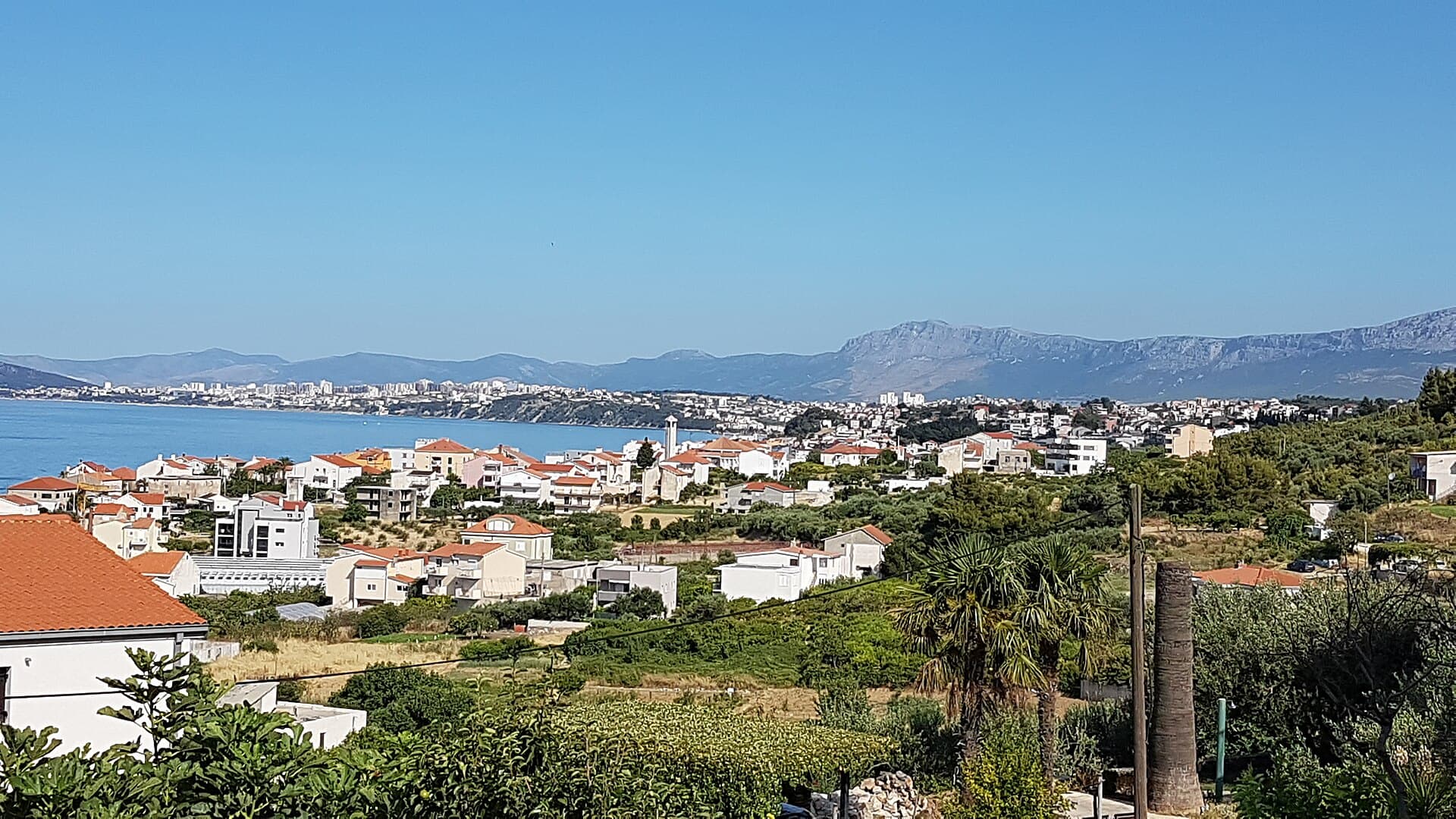
Podstrana
Podstrana is made up of five settlements. The oldest is Gornja Podstrana, set 290 to 340 metres above sea level beneath Perun, while Strožanac, Grljevac, Sveti Martin and Mutogras follow…
Read the guide

Brela
Brela is a municipal seat at the northern end of the Makarska littoral, about 15 km northwest of Makarska, on the Adriatic Highway and in a belt of pine forest at the foot of Biokovo. The…
Read the guide
Know Vranjic? Correct us
Tell us in your own words what is not accurate. We check right away.Do not enter personal data. Corrections are checked by the StayBravo AI assistant; changes to the description are approved by an editor. Use the form instead
Do you know Vranjic?
Help the guests who come after you.
Help us complete
Nothing is published without an editor’s review.Report illegal content
Photo credits: Vranjic — Ivan T. (CC BY-SA 3.0) · Solin, Kaštel Sućurac, Gospin otok — VitVit (CC BY-SA 4.0) · Split — dronepicr (CC BY 2.0) · Mravince, Kučine, Solin, Church of Saint Domnius in Split — SchiDD (CC BY-SA 4.0) · Stobreč, Roman amphitheatre of Salona — Pudelek (Marcin Szala) (CC BY-SA 3.0) · Kaštel Gomilica — Draceane (CC BY-SA 4.0) · Konjsko — kolerambo (CC BY-SA 3.0) · Salona — Bernard Gagnon (CC BY-SA 4.0) · In The Palace — Partner (courtesy of the property owner) · Apartman Anđela — Mirjana Rapić (courtesy of the property owner) · Baška Voda — Mario Žamić (CC BY-SA 3.0) · Podstrana — Romanm (CC BY-SA 4.0) · Brela — Josip-Pino Žamić (CC BY-SA 4.0)