Ježević
About this place
Ježević is a scattered inland Dalmatian village, nine kilometres north-east of Vrlika, with its hamlets strung along the north-eastern side of Lake Peruća. Božinovići, Žeravice, Dražići, Modrići, Kaselji, Vučemilovići, Ćorići, Milani, Plazonići, Forići, Budiše, Duvnjaci and Marinci form a long rural settlement between the reservoir and Mount Dinara. This is not an Adriatic resort but a base for experiencing the upper Cetina hinterland and one of its defining landscapes. Ježević’s residents traditionally made pilgrimages to the early medieval Church of Holy Salvation near the source of the Cetina. Between 1967 and 1969, the village built its own church dedicated to Holy Salvation; it was destroyed during the Homeland War and subsequently rebuilt on the same site. Nearby Lake Peruća extends for roughly 20 kilometres and is used for swimming, paddling and fishing, although its changing water level and largely natural shore differ markedly from a developed seaside beach. Ježević best suits travellers drawn to karst scenery, dispersed hamlets and the quieter Vrlika shore of the reservoir.
Ježević takes its identity from Lake Peruća, Mount Dinara and thirteen separate hamlets rather than a compact village centre. The City of Vrlika places it nine kilometres north-east of town, beside the reservoir created on the Cetina. A long-standing pilgrimage to the Church of Holy Salvation near the river’s source connects Ježević with one of the Vrlika area’s most important early medieval monuments. The village later built its own church with the same dedication between 1967 and 1969; after its destruction in the Homeland War, it was rebuilt on the original site. This combination of dispersed homes, sacred memory and reservoir scenery sets Ježević apart from the coastal settlements of Split-Dalmatia County.
Things to see
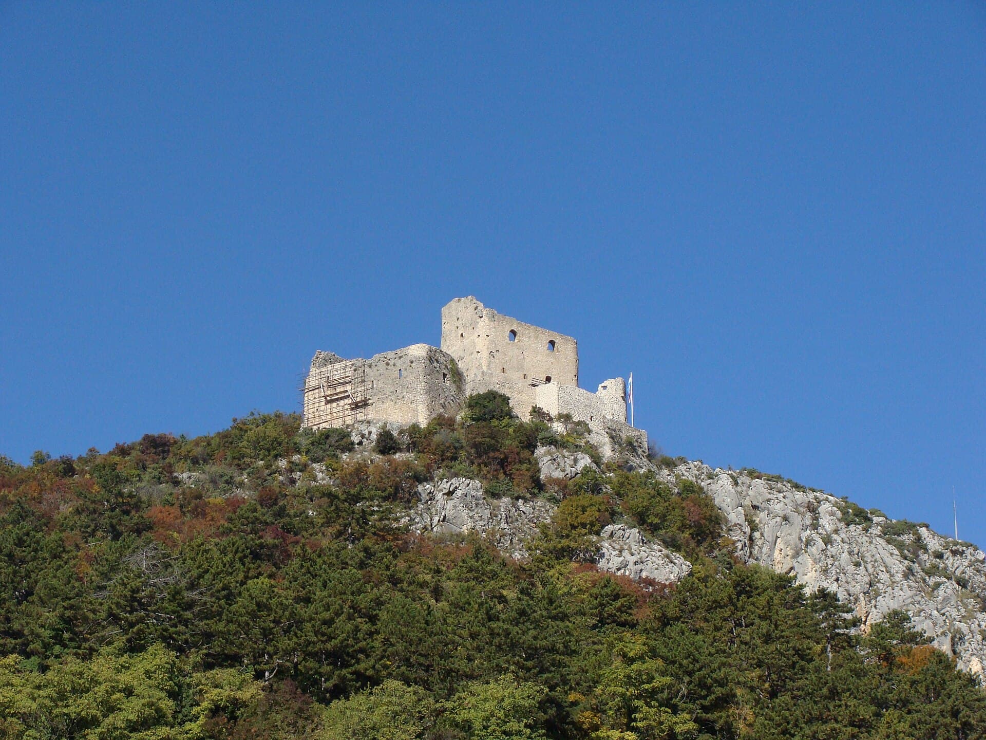
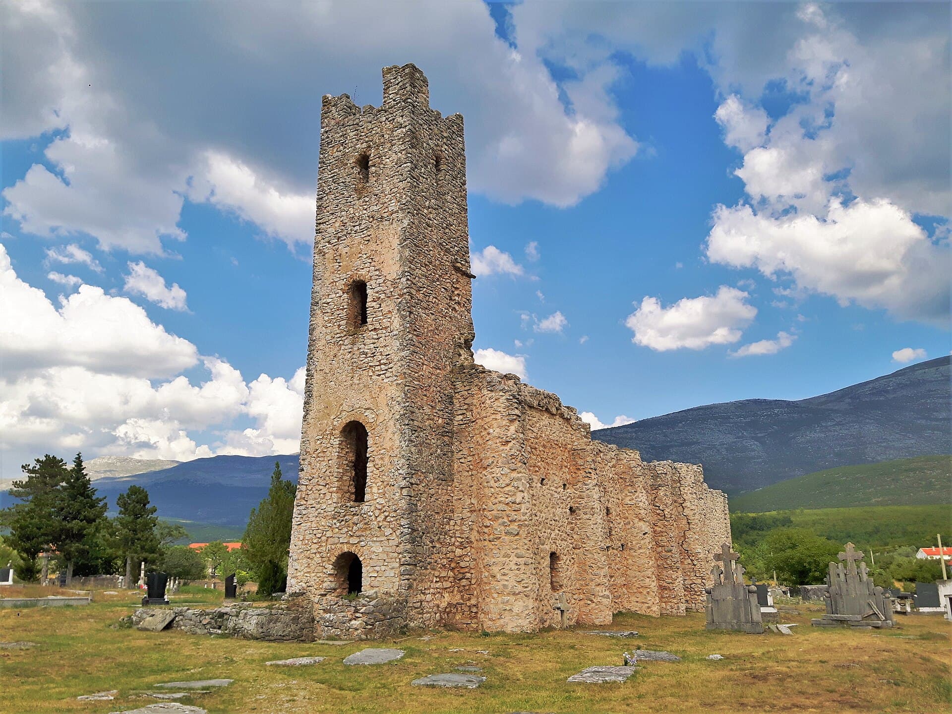

Church of the Ascension of the Lord
Landmark · Cetina
Serbian Orthodox church in Cetina, Croatia
6 km from Ježević
 Nature park
Stays further afield
- Apartment
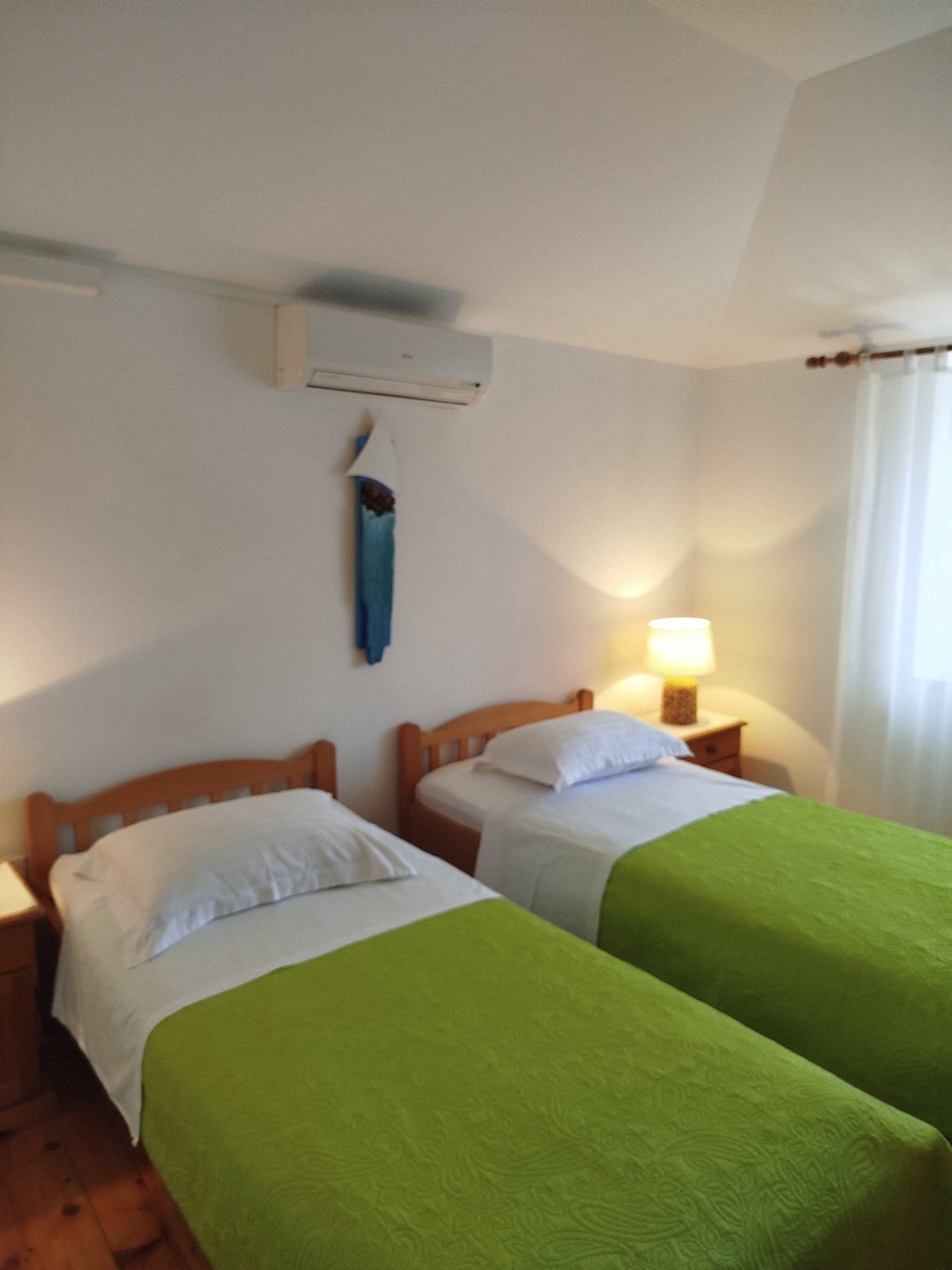 46 km from Ježević
- Apartment
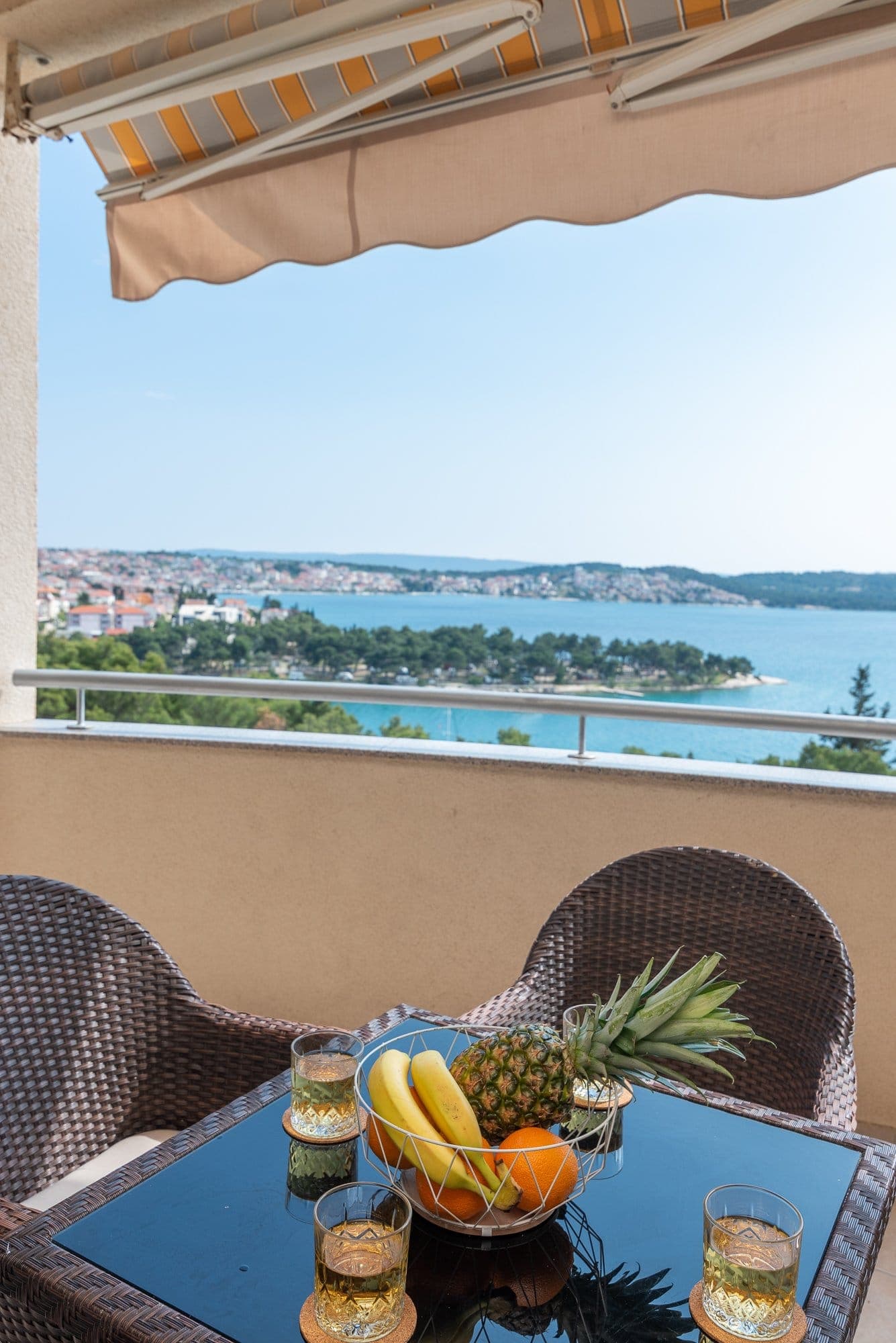 49 km from Ježević
- Apartment
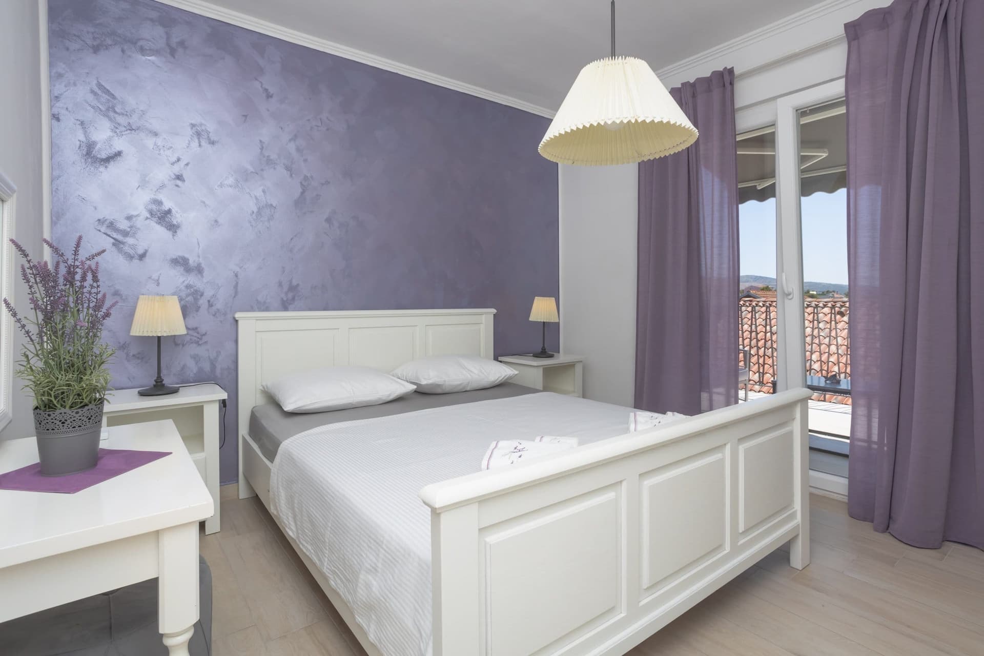 51 km from Ježević
- Apartment
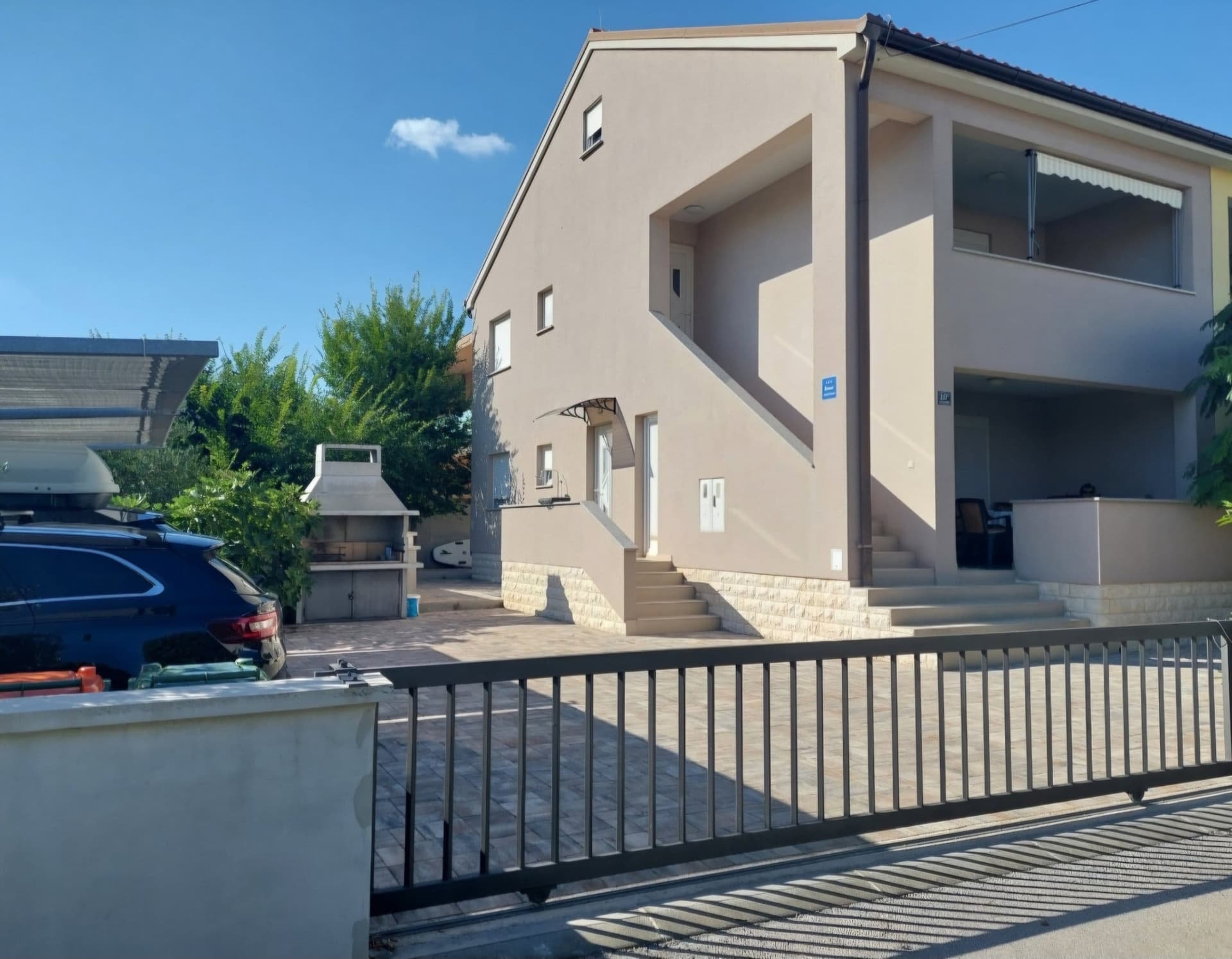 61 km from Ježević
- Apartment
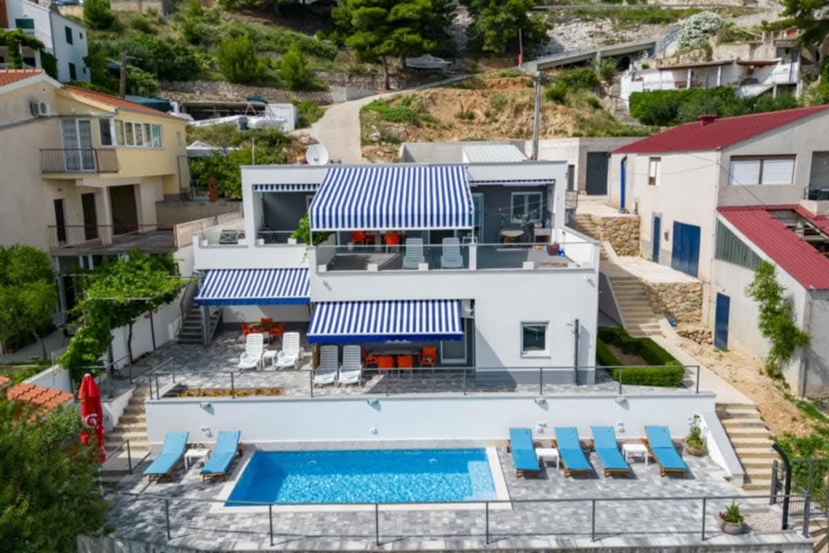 61 km from Ježević
- Villa
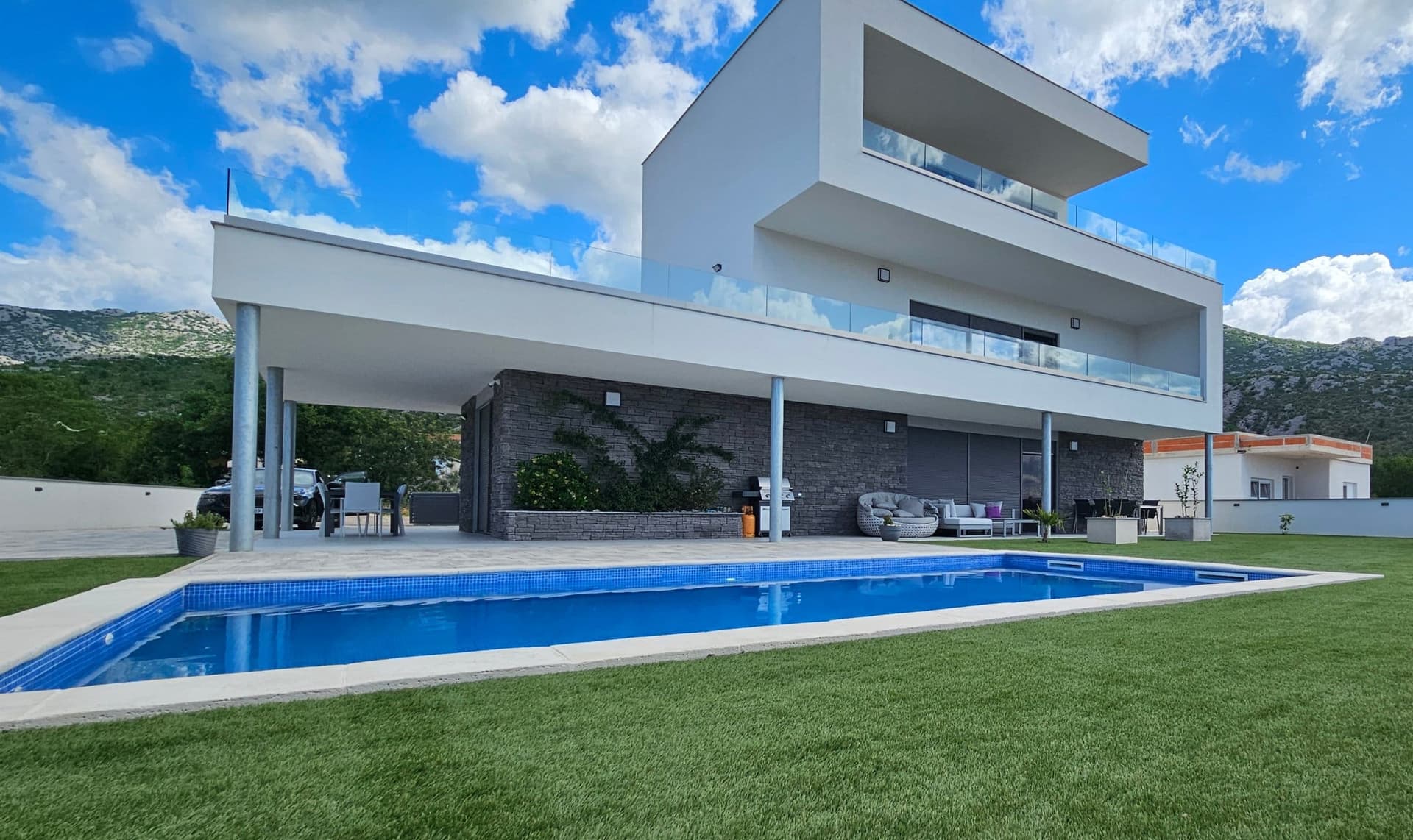 88 km from Ježević
- Apartment
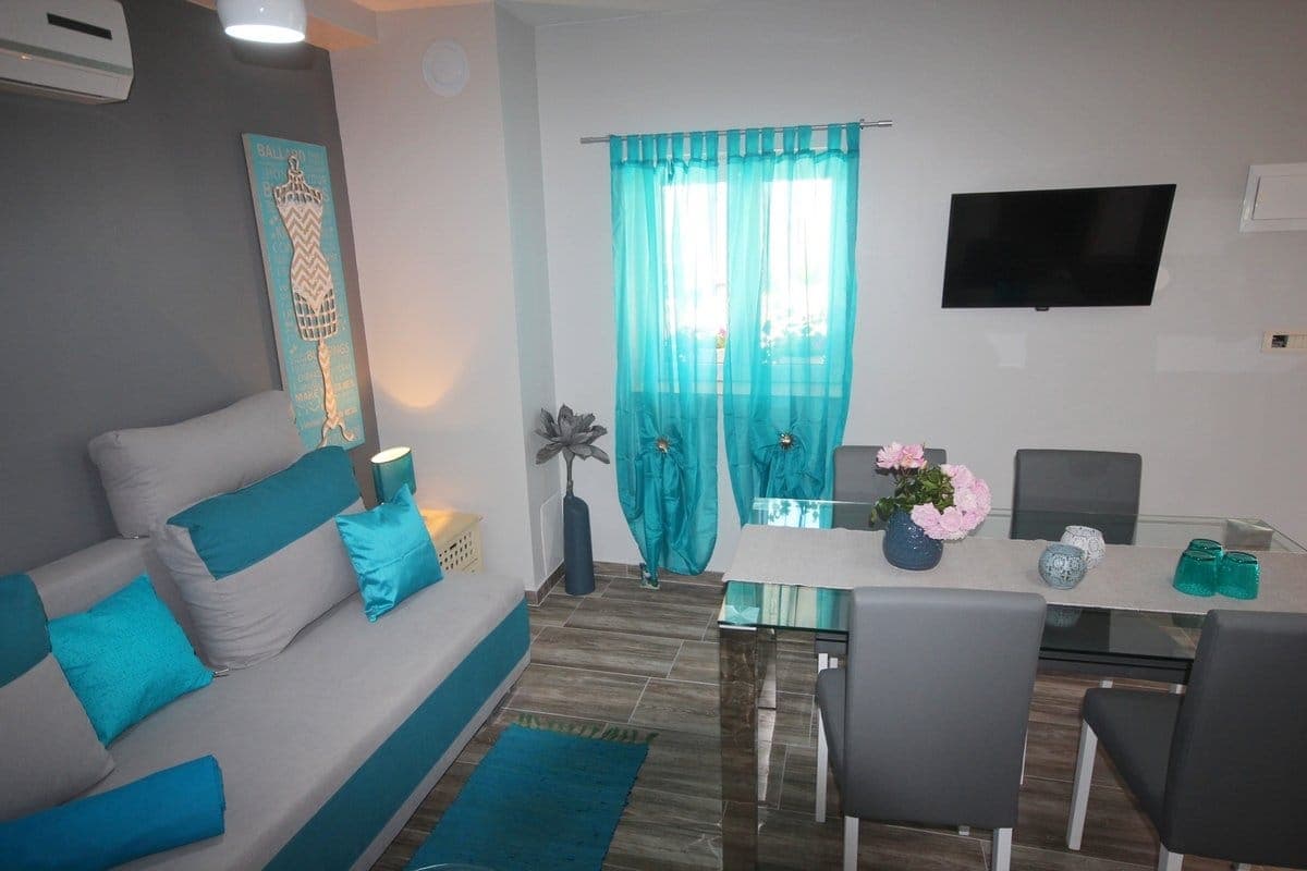 Ljubač, Ražanac · 101 km from Ježević
- Holiday home
 Čatrnja · 131 km from Ježević
Be the first to list here
Guests looking for this place only see stays nearby for now. No commission, and enquiries come straight to you.
List your accommodation
Beaches
Ježević has no developed Adriatic beach because it stands beside Lake Peruća rather than the sea. Swimming is possible from natural, water-level-dependent access points along the village’s north-eastern lakeshore, so visitors should choose an entry point according to current shoreline conditions. The City of Vrlika lists swimming, paddling and fishing among the reservoir’s principal recreational uses; the lake is approximately 20 kilometres long. For facilities, Camping Peruća in neighbouring Garjak is the more practical choice: the campsite advertises a private lakeside beach, toilets, hot showers, swimming, kayaking and rowing, with its operating season specified for 2026.
Things to do
Begin by driving through Ježević’s hamlets along the north-eastern edge of Lake Peruća, where the karst plateau repeatedly opens towards the water. Stop at the rebuilt Church of Holy Salvation, a local reminder of the villagers’ historic pilgrimages to the early medieval church of the same name beside the Cetina. For time on the reservoir, find a safely accessible stretch of shore and choose swimming, paddling or fishing, all activities specifically associated with Peruća by the City of Vrlika. Complete the outing in Vrlika, nine kilometres to the south-west, where the lake landscape can be paired with Prozor Fortress and the town’s cultural monuments.
Tours and activities
AdAd · partner offers: Viator, GetYourGuideThe partner handles booking, payment and support. StayBravo may earn a commission on bookings made through these links.How we choose offersWe choose offers based on the page you are viewing: the partner destination for this place or the nearest one (with its distance), and on a sight page only offers that mention it. We show offers rated at least 4.3 with at least 10 reviews, without multi-day tours or pure transfers, ordered by rating adjusted for the number of reviews and then by the partner’s order. We do not use data about you, and the commission does not affect the order.GetYourGuide offers are selected and ordered by GetYourGuide based on the name of the nearest larger town or national park; we do not influence their selection and do not use data about you.GetYourGuide · Ježević
We show GetYourGuide offers once you allow their cookies.
Viator
Nearest destination: Split (46 km)
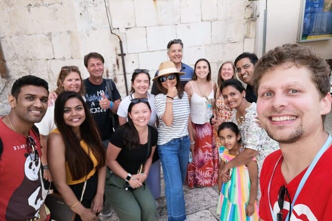
Split Walking Tour with Professor of History (opens in a new tab)
Private tours - [email protected] Professor of history and experienced local guide that started a new tour inside a city. Visiting Diocletians palace is great, but visiting Palace, Medieval…
Rated 5 out of 5 · 1,403 reviews· 2.3 h
Free cancellation
from €20
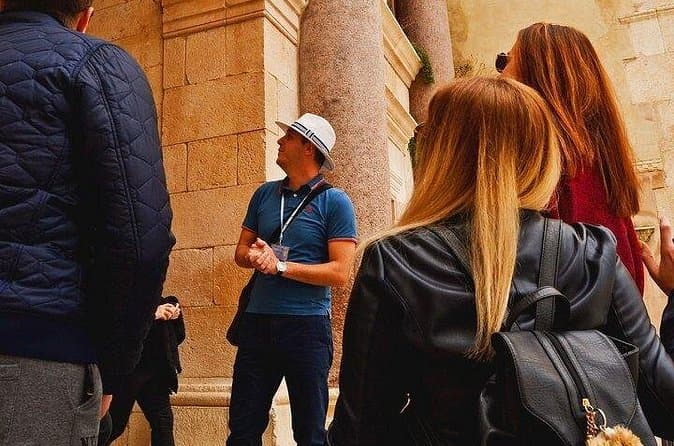
Split Small-Group Walking Tour with a Magister of History (opens in a new tab)
Explore Split on a small-group walking tour led by Toni, a local historian with academic training, a Master’s degree in History, and experience as a former teacher. Discover the city’s key landmarks…
Rated 5 out of 5 · 1,332 reviews· 1.7–1.8 h
Free cancellation
from €24.90
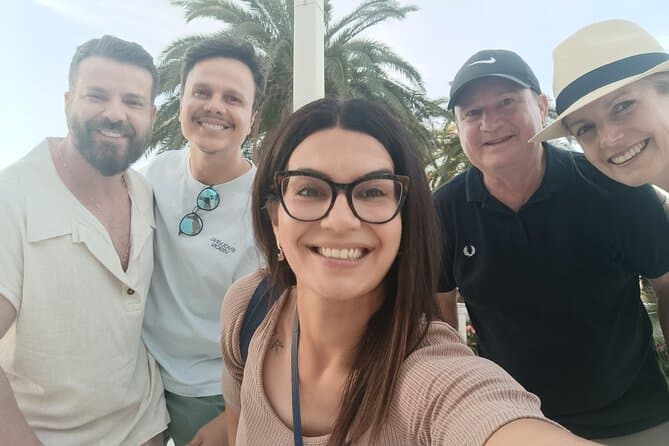
GROUP/ PRIVATE Walking History Tour of SPLIT with Daniela (opens in a new tab)
Discover Split with Daniela, a licensed local guide with more than 15 years of experience in tourism and a true passion for history! On this relaxed walking tour, you will explore Diocletian’s…
Rated 5 out of 5 · 223 reviews· 1.8–2 h
Free cancellation
from €27.81
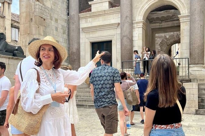
The Best of Split Private Tour (opens in a new tab)
Hidden Gems & Diocletian Palace, Exclusive Split Private Tour Having traveled extensively worldwide, I understand what makes an exceptional private excursion. I design my tours for sophisticated…
Rated 5 out of 5 · 365 reviews· 2.5 h
Free cancellation
from €160
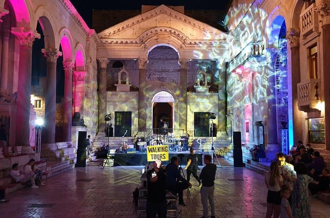
Walking Tour of Split and Diocletian's Palace - Small Group Tour (opens in a new tab)
Our guides are well educated and generally well liked by the guests we've had in the past. On the tour you'll see and learn about all the important highlights of Diocletian's Palace and it's (and…
Rated 5 out of 5 · 2,732 reviews· 1.5 h
Free cancellation
from €15
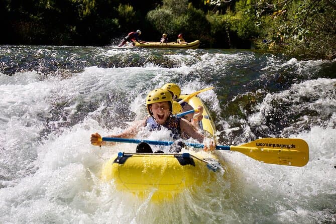
Rafting on Cetina River Departure from Split or Blato na Cetini village (opens in a new tab)
Rafting through crystal green waters of Cetina river. Adventure and relaxation river experience. Daily departures from Split city center.
Rated 5 out of 5 · 884 reviews· 6 h
Free cancellation
from €40
Practical information
Getting there and around
Ježević is reached by road from Vrlika, nine kilometres away, before the approach continues towards the hamlets along the north-eastern shore of Lake Peruća. As Božinovići, Žeravice, Dražići, Modrići, Kaselji, Vučemilovići, Ćorići, Milani, Plazonići, Forići, Budiše, Duvnjaci and Marinci are spread beside the reservoir, a car is useful for moving between the separate parts of the village. Travellers arriving from Split first head to Vrlika, which lies 75 kilometres from Split on the Split–Zagreb road corridor, and then follow the local approach to Ježević. Promet Split’s published 2026 timetable does not list Ježević among its displayed suburban routes, so visitors should not count on a scheduled bus reaching the village without checking beforehand.
Frequently asked questions
Is Ježević on the Adriatic coast?
No. Ježević is in the Dalmatian hinterland, beside the north-eastern edge of the Lake Peruća reservoir.
How far is Ježević from Vrlika?
The City of Vrlika places Ježević nine kilometres north-east of Vrlika.
Can visitors swim in Lake Peruća?
Yes. The City of Vrlika lists swimming, paddling and fishing among the recreational activities on Lake Peruća.
Nearby
Ježević
Open in OpenStreetMap(opens in a new tab)straight-line distance
Related guides
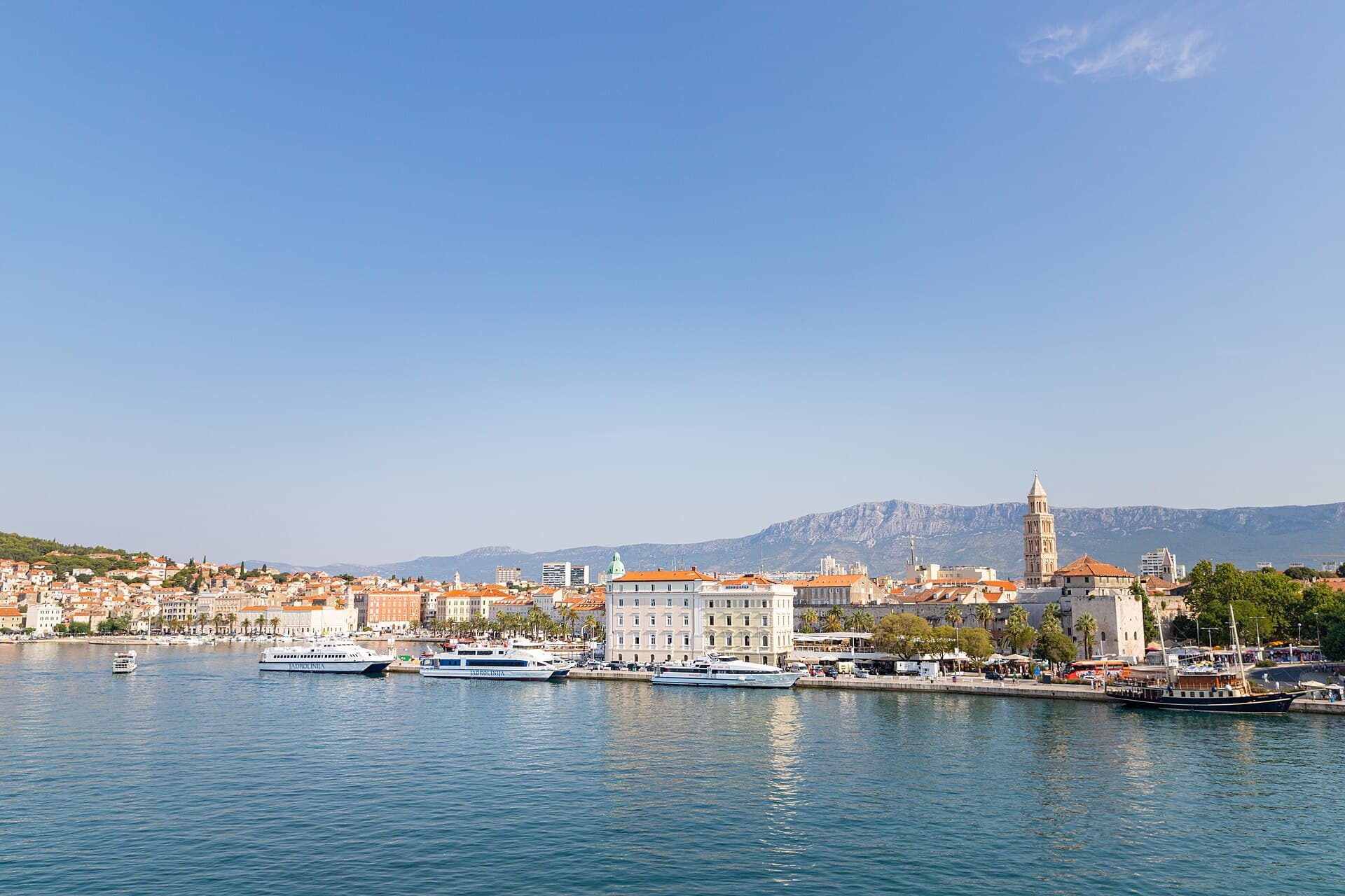
Split
In Split, the transition from ancient monument to ordinary street is almost imperceptible: entering the southern part of Diocletian’s Palace from the Riva leads towards the Peristyle, then…
Read the guide

Baška Voda
Baška Voda lies in the western part of the Makarska Riviera directly below the Biokovo massif. Once a fishing and seafaring settlement, it developed into a resort whose centre remains…
Read the guide
Podstrana
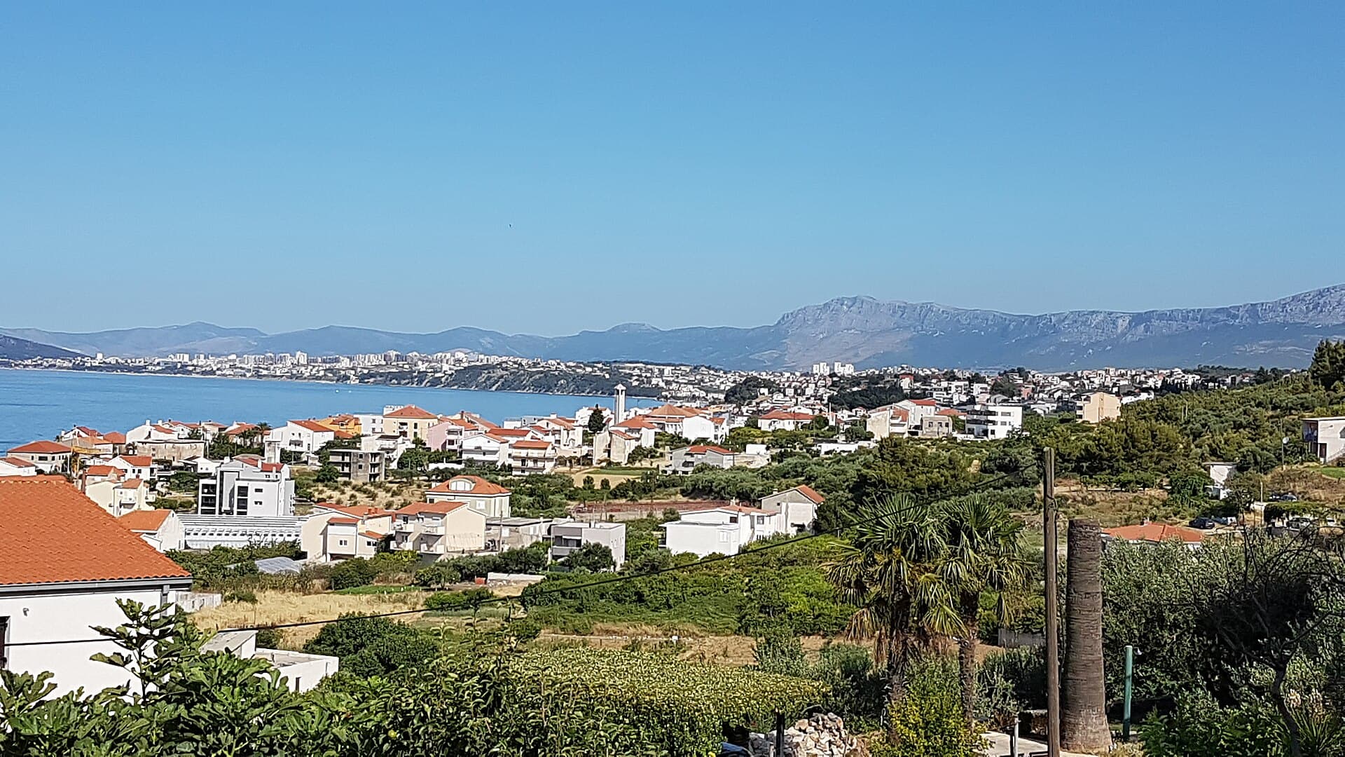
Podstrana is made up of five settlements. The oldest is Gornja Podstrana, set 290 to 340 metres above sea level beneath Perun, while Strožanac, Grljevac, Sveti Martin and Mutogras follow…
Read the guide

Brela
Brela is a municipal seat at the northern end of the Makarska littoral, about 15 km northwest of Makarska, on the Adriatic Highway and in a belt of pine forest at the foot of Biokovo. The…
Read the guide
Know Ježević? Correct us
Tell us in your own words what is not accurate. We check right away.Do not enter personal data. Corrections are checked by the StayBravo AI assistant; changes to the description are approved by an editor. Use the form instead
Do you know Ježević?
Help the guests who come after you.
Help us complete
Nothing is published without an editor’s review.Report illegal content
Photo credits: Garjak — branko vrlika (CC BY 3.0) · Cetina — Krešimir Bikić (CC BY-SA 3.0) · Vrlika — Kukar at English Wikipedia (Public domain) · Civljane — Iva Šutevski (CC BY-SA 4.0) · Kijevo — Croq (CC BY-SA 3.0) · Prozor Fortress — BiljanaST (CC BY-SA 4.0) · Church of Holy Salvation — Stjepko Krehula (CC BY-SA 4.0) · Church of the Ascension of the Lord — Martin Brož (CC BY 3.0) · Dinara Nature Park — kolerambo (CC BY-SA 3.0) · In The Palace, Farm stay' ranch-Plitvice — Partner (courtesy of the property owner) · Apartman Anđela — Mirjana Rapić (courtesy of the property owner) · Dalma Residence — Marin Radić (courtesy of the property owner) · APARTMAN COTA — Jadranka Cota (courtesy of the property owner) · Villa Sara — Sara Stanic (courtesy of the property owner) · Villa Slatki — Saša Slatki (courtesy of the property owner) · Apartmani Rustica — Zdenko Dusevic (courtesy of the property owner) · Split — dronepicr (CC BY 2.0) · Baška Voda — Mario Žamić (CC BY-SA 3.0) · Podstrana — Romanm (CC BY-SA 4.0) · Brela — Josip-Pino Žamić (CC BY-SA 4.0)