Dugopolje
About this place
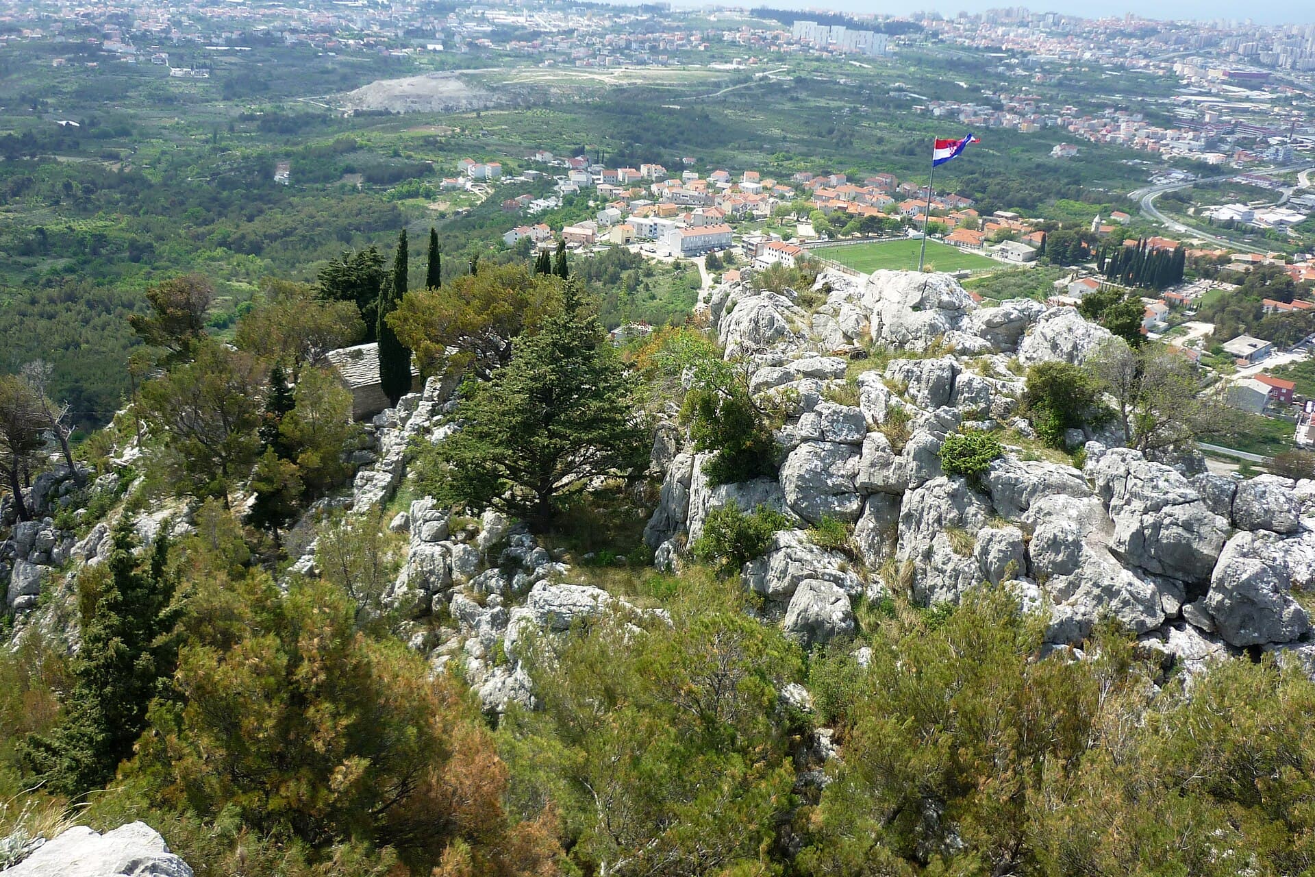
Dugopolje lies on Mosor’s northern side beside the long karst field that gave the settlement its name, roughly 15 kilometres from Split. It belongs both to the landscape of the Dalmatian hinterland and to a major transport junction: the Split exit from the A1 motorway is at Dugopolje, while the D1 connects the area with Split and Sinj. Beyond the Podi business zone, the setting changes to open fields, limestone slopes and caves. At Kotlenice, Vranjača has been protected as a geomorphological natural monument since 1963; its chambers, columns and dripstone formations remain at about 15°C throughout the year. Around Kurtovići–Klapavice, approximately two kilometres of a Roman road survive from the route that crossed the Klis pass from Salona and continued into inland Dalmatia. Walkers can head from Dugopoljsko polje towards Mosor’s northern slopes, while the Hidden Dalmatia Visitor Centre in Podi interprets the hinterland through multimedia exhibits and virtual reality. This combination of accessibility, underground karst and ancient routes gives Dugopolje an identity extending well beyond its motorway shopping district.
Dugopolje developed where the Dugopolje field meets Mosor’s northern slopes, while the Podi business zone stands beside the A1 entrance. The D1 runs through the municipality between Split and Sinj, making the settlement a transport gateway between the coast and the inland. Mosor is more than a distant backdrop here: Vranjača Cave lies in Kotlenice on its northern side, and the Hidden Dalmatia centre makes the mountain a focus of its interpretation. This leaves the sports and business facilities of Podi unusually close to the karst landscape around Kotlenice.
Things to see


Stays nearby
- Apartment
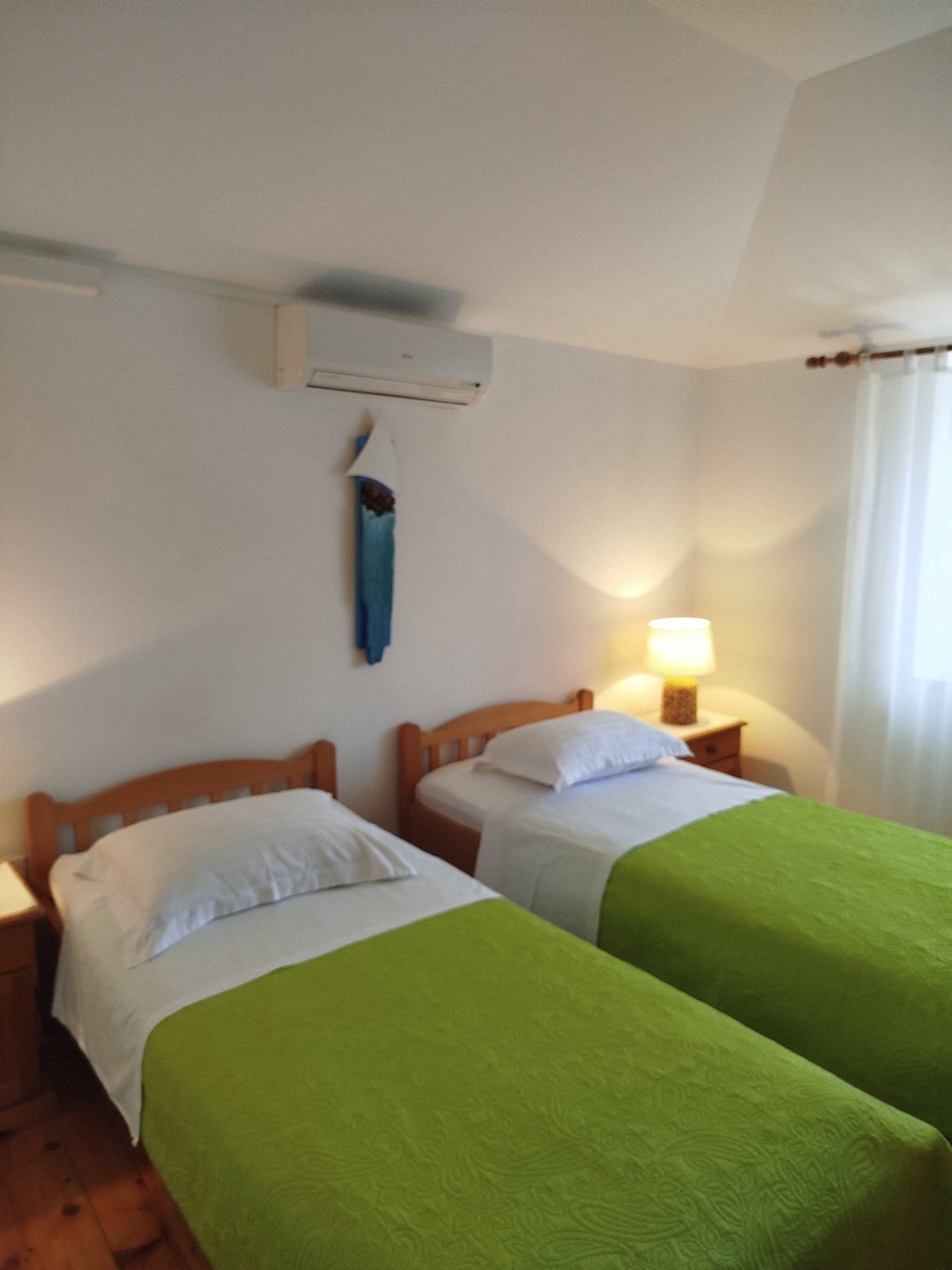 15 km from Dugopolje
- Apartment
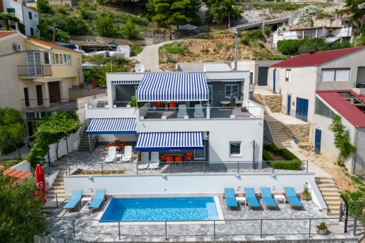 22 km from Dugopolje
Be the first to list here
Guests looking for this place only see stays nearby for now. No commission, and enquiries come straight to you.
List your accommodation
Beaches
Dugopolje has no beach of its own because it lies inland on the northern side of Mount Mosor. For swimming, visitors drive down towards the Split area or continue towards Omiš; the local tourist board places Split and nearby coastal towns roughly 15–30 minutes away, depending on the destination and traffic. Access to the A1 and D1 makes it possible to combine a morning visit to Vranjača with an afternoon beside the sea, although the return from Split uses the busy Solin–Klis corridor. Travellers mainly seeking beach time will find Dugopolje most useful as an inland base for coastal day trips.
Tours and activities
GetYourGuide · Split
We show GetYourGuide offers once you allow their cookies.
Viator
Nearest destination: Split (14 km)
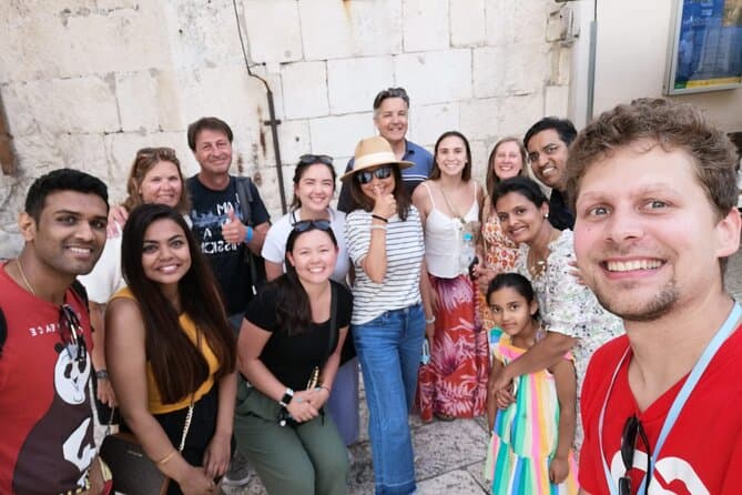
Split Walking Tour with Professor of History (opens in a new tab)
Private tours - [email protected] Professor of history and experienced local guide that started a new tour inside a city. Visiting Diocletians palace is great, but visiting Palace, Medieval…
Rated 5 out of 5 · 1,403 reviews· 2.3 h
Free cancellation
from €20
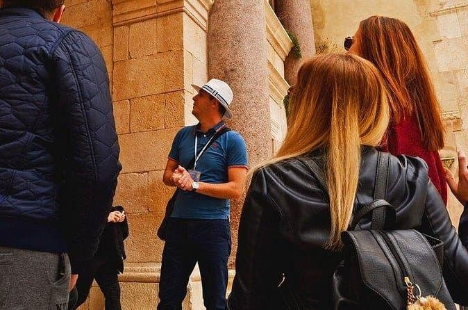
Split Small-Group Walking Tour with a Magister of History (opens in a new tab)
Explore Split on a small-group walking tour led by Toni, a local historian with academic training, a Master’s degree in History, and experience as a former teacher. Discover the city’s key landmarks…
Rated 5 out of 5 · 1,332 reviews· 1.7–1.8 h
Free cancellation
from €24.90

GROUP/ PRIVATE Walking History Tour of SPLIT with Daniela (opens in a new tab)
Discover Split with Daniela, a licensed local guide with more than 15 years of experience in tourism and a true passion for history! On this relaxed walking tour, you will explore Diocletian’s…
Rated 5 out of 5 · 223 reviews· 1.8–2 h
Free cancellation
from €27.81
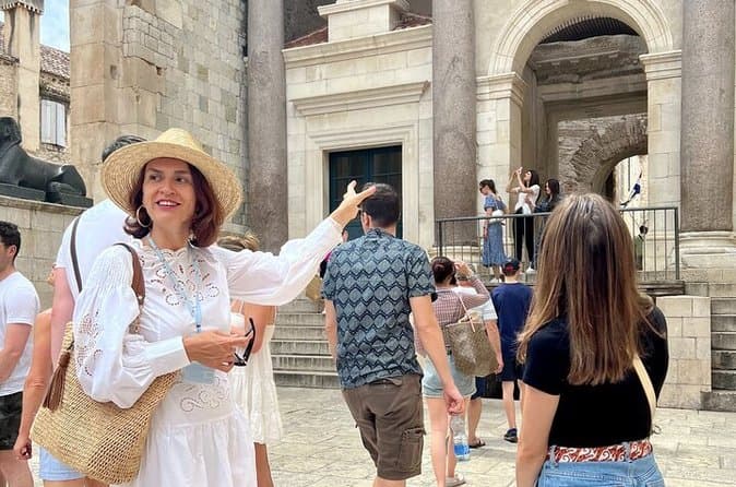
The Best of Split Private Tour (opens in a new tab)
Hidden Gems & Diocletian Palace, Exclusive Split Private Tour Having traveled extensively worldwide, I understand what makes an exceptional private excursion. I design my tours for sophisticated…
Rated 5 out of 5 · 365 reviews· 2.5 h
Free cancellation
from €160
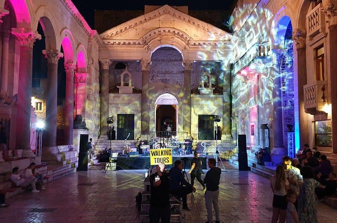
Walking Tour of Split and Diocletian's Palace - Small Group Tour (opens in a new tab)
Our guides are well educated and generally well liked by the guests we've had in the past. On the tour you'll see and learn about all the important highlights of Diocletian's Palace and it's (and…
Rated 5 out of 5 · 2,732 reviews· 1.5 h
Free cancellation
from €15

Rafting on Cetina River Departure from Split or Blato na Cetini village (opens in a new tab)
Rafting through crystal green waters of Cetina river. Adventure and relaxation river experience. Daily departures from Split city center.
Rated 5 out of 5 · 884 reviews· 6 h
Free cancellation
from €40
Food and drink
Dugopolje’s restaurants are concentrated mainly in the Podi business zone, immediately before the A1 entrance. Restaurant Feniks at Matice hrvatske 5 has operated since 2007 and includes a restaurant, café bar and event halls. Dolis, at Sv. Leopolda Mandića 18, combines a café bar, pizzeria and restaurant. For a meal when travelling towards Split or Sinj, Podi is the practical choice; both venues are listed by Dugopolje’s official tourist site.
Practical information
Practical information
The Hidden Dalmatia Visitor Centre is at Sv. Nikole Tavelića 1 in Podi; its published hours are Monday to Saturday, 9 am to 4 pm, with Sunday closure. It is managed by the More i krš public institution, founded by Split-Dalmatia County. Vranjača publishes seasonal opening hours from April to October, while visits from November to March are arranged in advance; final entry is one hour before closing. The Dugopolje Tourist Board lists its address as Matice hrvatske 11, inside the Hrvatski vitezovi Sports Centre.
Getting there and around
Drivers reach Dugopolje via the Split interchange on the A1 motorway, whose toll station stands beside the settlement, or by the D1 from Split, Klis and Sinj. The local tourist board places Dugopolje 15 kilometres from Split, 18 kilometres from Split’s passenger port and railway station, and 28 kilometres from Split Airport. In Promet’s 2026 timetable, route 35A links Sukoišan with Solin, Klis, the Podi zone and the Dugopolje Crkva stop. A car remains the practical option for Vranjača Cave: the paved road continues through Dugopolje to Kotlenice and the Punde hamlet, followed by approximately 300 metres on an unpaved approach.
Frequently asked questions
Where do the Mosor hiking routes begin?
The trail to Ljubljan begins at Plitača, while the route to Vickov Stup starts from the Punde hamlet in Kotlenice, near Vranjača.
Where can visitors learn about the Dalmatian hinterland in Dugopolje?
The Hidden Dalmatia visitor centre at 1 Sv. Nikole Tavelića Street uses multimedia, virtual and sensory exhibits to interpret the area’s natural and cultural heritage.
How long is Vranjača Cave’s illuminated path?
The illuminated visitor route is 165 metres long and passes through two chambers.
Which bus route serves Dugopolje Crkva?
Promet Split route 35 links Sukoišan station with the Dugopolje Crkva stop via Solin and Klis.
Nearby
Dugopolje
Open in OpenStreetMap(opens in a new tab)Smaller places
straight-line distance
Related guides
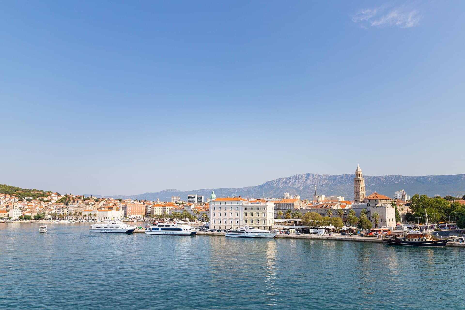
Split
In Split, the transition from ancient monument to ordinary street is almost imperceptible: entering the southern part of Diocletian’s Palace from the Riva leads towards the Peristyle, then…
Read the guide

Baška Voda
Baška Voda lies in the western part of the Makarska Riviera directly below the Biokovo massif. Once a fishing and seafaring settlement, it developed into a resort whose centre remains…
Read the guide
Podstrana
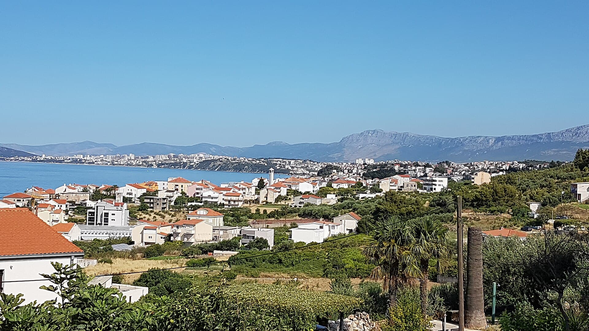
Podstrana is made up of five settlements. The oldest is Gornja Podstrana, set 290 to 340 metres above sea level beneath Perun, while Strožanac, Grljevac, Sveti Martin and Mutogras follow…
Read the guide

Brela
Brela is a municipal seat at the northern end of the Makarska littoral, about 15 km northwest of Makarska, on the Adriatic Highway and in a belt of pine forest at the foot of Biokovo. The…
Read the guide
Know Dugopolje? Correct us
Tell us in your own words what is not accurate. We check right away.Do not enter personal data. Corrections are checked by the StayBravo AI assistant; changes to the description are approved by an editor. Use the form instead
Do you know Dugopolje?
Help the guests who come after you.
Help us complete
Nothing is published without an editor’s review.Report illegal content
Photo credits: Dicmo — Ante Perkovic (CC BY-SA 3.0) · Bisko — MaGa (CC BY-SA 4.0) · Gornje Sitno — K. Korlević (Public domain) · Vranjača cave — Anil Öztas (CC BY-SA 4.0) · Klis Fortress — Ivan T. (CC BY 3.0) · Crkva sv. Mihovila u Žrnovnici — Argo Navis (CC BY-SA 4.0) · Kuk Castle — SchiDD (CC BY-SA 4.0) · In The Palace — Partner (courtesy of the property owner) · Villa Sara — Sara Stanic (courtesy of the property owner) · Split — dronepicr (CC BY 2.0) · Baška Voda — Mario Žamić (CC BY-SA 3.0) · Podstrana — Romanm (CC BY-SA 4.0) · Brela — Josip-Pino Žamić (CC BY-SA 4.0)