Komin
About this place
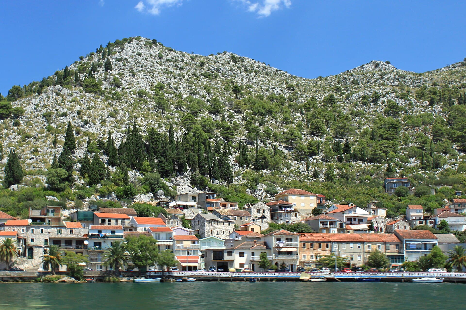
Komin is a long, narrow settlement on the right bank of the Neretva, beneath Donja Gora and nine kilometres east of Ploče, with Metković thirteen kilometres to the north-east. Its houses follow the river for roughly two kilometres, creating the impression of a riverside street held between water and rocky slopes. The surrounding fields and orchards are integral to the scenery: alongside the Neretva’s famous mandarins, local growers cultivate watermelons, figs, pomegranates, grapes, kiwifruit and vegetables. The parish Church of Saint Anthony of Padua rises above the village, built in white stone and completed in the early twentieth century. Komin also offers access to an unusual stretch of the Adriatic coast because the settlement’s territory reaches downstream to the Neretva mouth, around seven kilometres away. There, a natural beach, shallow water and reliable wind have made the estuary particularly attractive to kitesurfers. Rather than a conventional Dalmatian waterfront, Komin combines a working river landing, cultivated delta land and a route towards the open, sandy landscape where the Neretva meets the sea.
Komin follows the right bank of the Neretva beneath Donja Gora, between Ploče and Metković. Its physical form is unusually easy to read: houses extend for about two kilometres because the river and hillside left little room for the village to spread sideways. Here the Neretva is more than scenery, supporting a river landing, fishing traditions and cultivated land producing mandarins, watermelons, figs, pomegranates, grapes and kiwifruit. The local council connects the present settlement with an upstream move by inhabitants formerly living around Kozjak and Galičak near the river mouth. Above the elongated riverside village, the Church of Saint Anthony of Padua provides the defining landmark; its main altar was installed and the building consecrated by Bishop Kvirin Klement Bonefačić in 1924.
Things to see

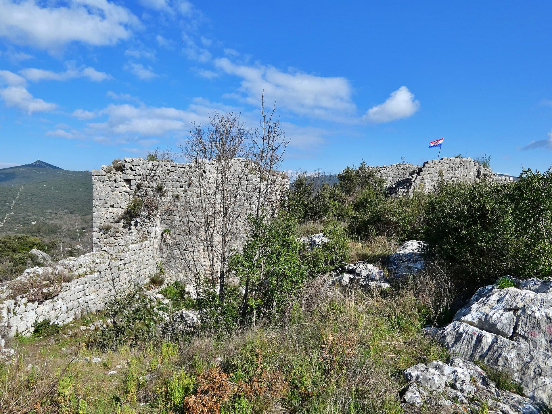
Brštanik
Landmark · Podgradina, Slivno
castle ruin in Dubrovnik-Neretva County, Croatia
4 km from Komin
Stays nearby
- Apartment
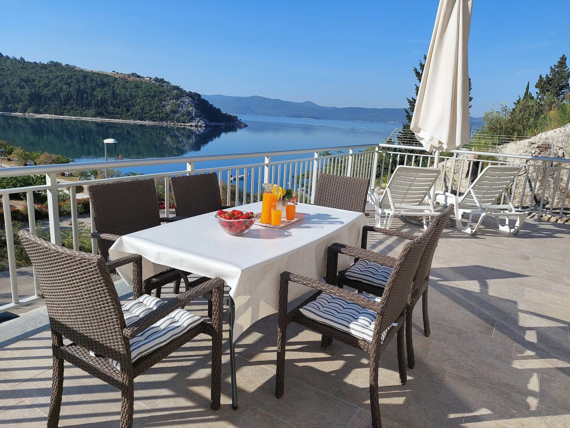 3 km from Komin
Apartman Frana DeLux - prvi red do mora, plaža 20 m
Opuzen
up to 6 guests · 2 bedrooms
from €100 / night
Check availability
- Apartment
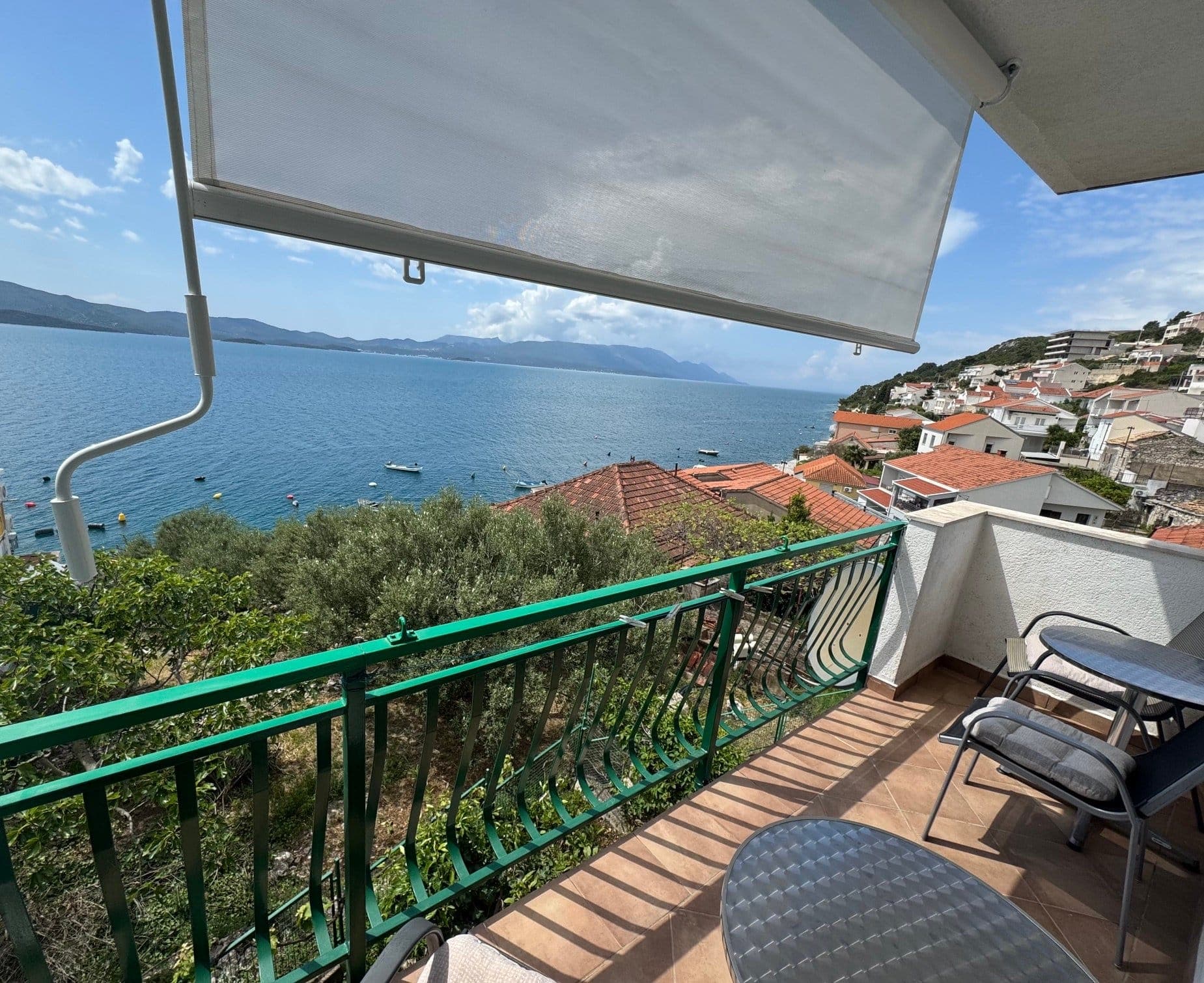 11 km from Komin
Be the first to list here
Guests looking for this place only see stays nearby for now. No commission, and enquiries come straight to you.
List your accommodation
Beaches
Komin has no conventional sea beach in the village centre, which stands about seven kilometres upstream from the Adriatic. Its coastal area lies at the Neretva mouth and is approached by local road L69006. Planning documents identify a natural shingle beach and the wooded grounds of a former campsite there, while shallow water and exposure to wind attract kitesurfers and windsurfers. The estuary beach feels very different from a landscaped Adriatic bathing resort: the river continually shapes the shore, and embankments, channels and navigation lights dominate the view. Because river currents, wind and water-sports zones all affect conditions, swimmers should use the designated part of the beach and stay clear of launching equipment and the routes taken by kitesurfers.
Things to do
Start with a walk beside the Neretva, observing how houses, the landing and cultivated plots fit into the narrow strip between the river and Donja Gora. Then climb to the Church of Saint Anthony of Padua, whose white stone and elevated position define Komin’s skyline; the present church was completed in 1924, while the cemetery chapel dates from 1907. For the second part of the day, follow the local road towards the Neretva mouth, around seven kilometres south-west of the village. River channels, shallow sea and stronger open winds create a landscape markedly different from central Komin. Activities established at the estuary include kitesurfing, windsurfing and kayaking, making the excursion rewarding even for visitors who simply want to watch the colourful sails and boards on the water.
Tours and activities
AdAd · partner offers: Viator, GetYourGuideThe partner handles booking, payment and support. StayBravo may earn a commission on bookings made through these links.How we choose offersWe choose offers based on the page you are viewing: the partner destination for this place or the nearest one (with its distance), and on a sight page only offers that mention it. We show offers rated at least 4.3 with at least 10 reviews, without multi-day tours or pure transfers, ordered by rating adjusted for the number of reviews and then by the partner’s order. We do not use data about you, and the commission does not affect the order.GetYourGuide offers are selected and ordered by GetYourGuide based on the name of the nearest larger town or national park; we do not influence their selection and do not use data about you.Viator
Nearest destination: Korčula (34 km)
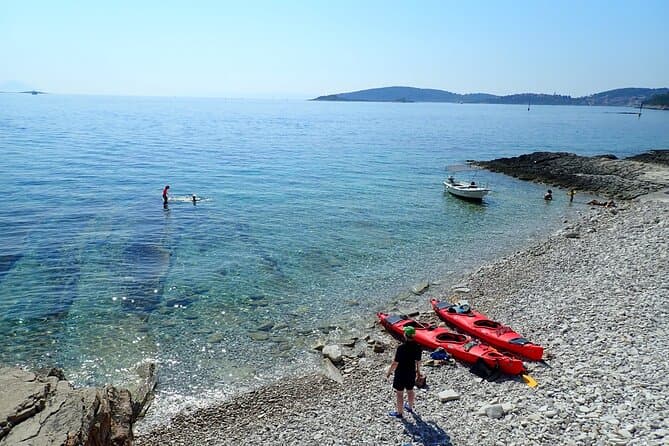
Bits of History - Half day kayak Tour with Wine delight (opens in a new tab)
Spirit of Korkyra is a small, family-run business - not a franchise. Boris and Ivka built it from scratch, and Ivka grew up right here in Lumbarda. We take you to places bigger tours can't reach…
Rated 5 out of 5 · 205 reviews· 5 h
Free cancellation
from €65
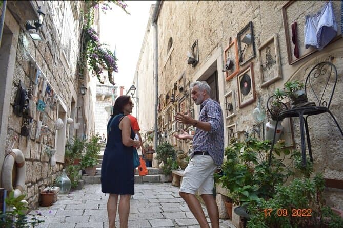
1 Hour Private Walking Tour in Korcula (opens in a new tab)
Korčula is a wonderful place to visit! History, art and present day life tell the story of a town sculpted in white stone 1000 years ago. You'll also hear about Marco Polo and his complicated and…
Rated 5 out of 5 · 103 reviews· 1 h
Free cancellation
from €35
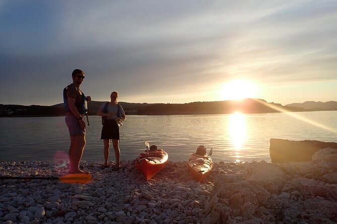
Lumbarda-Sunset Kayaking Experience with picnic: Wine and Sweets (opens in a new tab)
Spirit of Korkyra is a small, family-run business - not a franchise. Boris and Ivka built it from scratch, and Ivka grew up right here in Lumbarda. We time this tour to end golden hour on the water…
Rated 5 out of 5 · 62 reviews· 3.5 h
Free cancellation
from €65
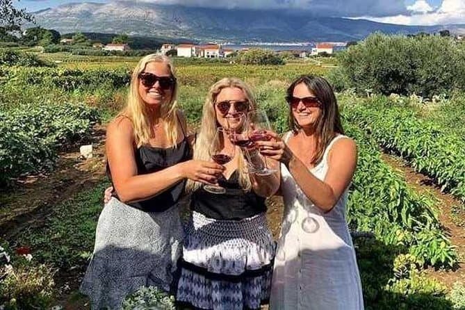
Wine tour Korčula - private tour (opens in a new tab)
Our excursion starts at the view point of Korčula, where you can take a couple of photos. The first vinyards we are going to visit are situated in Lumbarda and are famous for Grk, an autochtonous…
Rated 4.9 out of 5 · 27 reviews· 3–4 h
Free cancellation
from €151.31
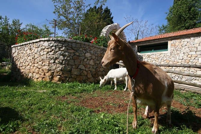
Korcula Island Mountain E Bike Private tour with lunch (opens in a new tab)
Enjoy a half-day mountain E- bike private tour on Korcula Island. Explore roads full of olive trees and vineyards. Visit a Local Winery for a wine tasting. Swim in one of the secluded beaches and…
Rated 5 out of 5 · 20 reviews· 4 h
Free cancellation
from €180
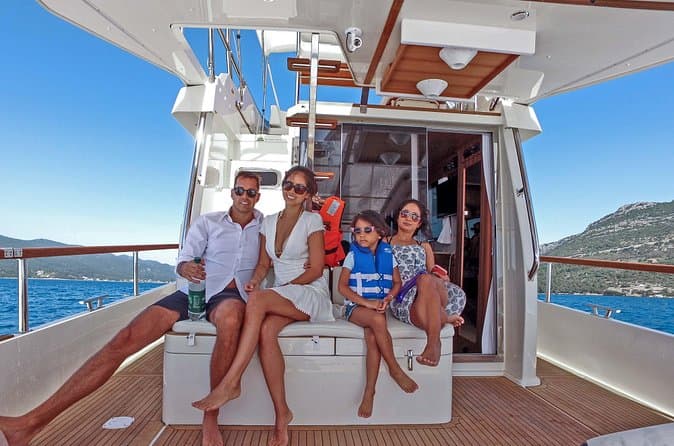
Mljet National park Private Yacht Excursion from Korcula Island (opens in a new tab)
This is a Yacht Tour to the island of Mljet from Korcula. The National Park is famous for its two salt sea lakes and the 12th-century Benedictine monastery. Travel on a luxury yacht at intimate…
Rated 5 out of 5 · 18 reviews· 6 h
Free cancellation
from €700
GetYourGuide · Korčula
We show GetYourGuide offers once you allow their cookies.
Practical information
Getting there and around
Komin lies directly on the Neretva-side road linking Ploče, Opuzen and Metković; municipal information places it about 10 km from Ploče, 3 km from Opuzen and 12 km from Metković. On school days in the 2025/2026 academic year, Čazmatrans lists five Metković–Komin–Ploče departures from Metković and six services in the opposite direction. Connections towards Zagreb, Split or Dubrovnik require a change at Ploče Bus Station, at Trg kralja Tomislava 17. Although the railway runs through Komin, it does not carry regular Croatian passenger services, so local journeys depend on the riverside road and scheduled buses.
Frequently asked questions
Is Komin on the sea or on a river?
Central Komin stands on the right bank of the Neretva, about seven kilometres upstream from the Adriatic, while the settlement’s territory also includes the coastal estuary area.
What is Komin’s main church?
The parish church is dedicated to Saint Anthony of Padua; its main altar was installed in 1924, when Bishop Kvirin Klement Bonefačić consecrated the building.
What makes the estuary near Komin distinctive?
The estuary combines shallow sea, a river-shaped shore and open winds, supporting kitesurfing, windsurfing and kayaking.
Nearby
Komin
Open in OpenStreetMap(opens in a new tab)straight-line distance
Related guides
Dubrovnik
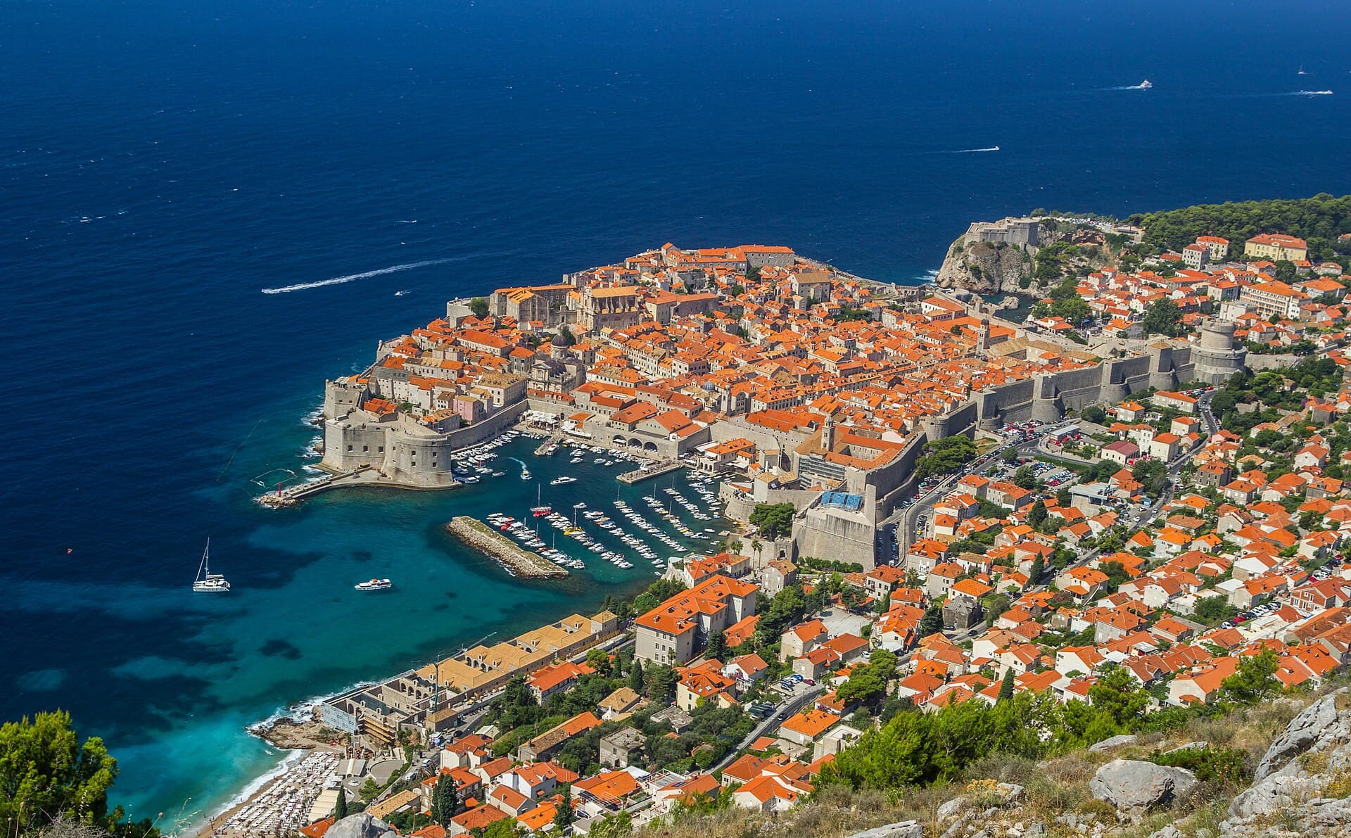
Dubrovnik’s historic centre is organised around Stradun, yet its character changes within a few steps of that main street. At the western end beside Pile stand the Large Onofrio Fountain,…
Read the guide

Orebić
Orebić is the main settlement of south-western Pelješac and has been tied to seafaring for centuries. Captains’ houses and gardens along the coastal area recall the period when Orebić…
Read the guide
Blato, Korčula
Blato is not a seaside centre but a historic inland settlement in western Korčula’s fertile interior, while its municipality reaches Prigradica on the north coast and Prižba, Gršćica,…
Read the guide
Vela Luka
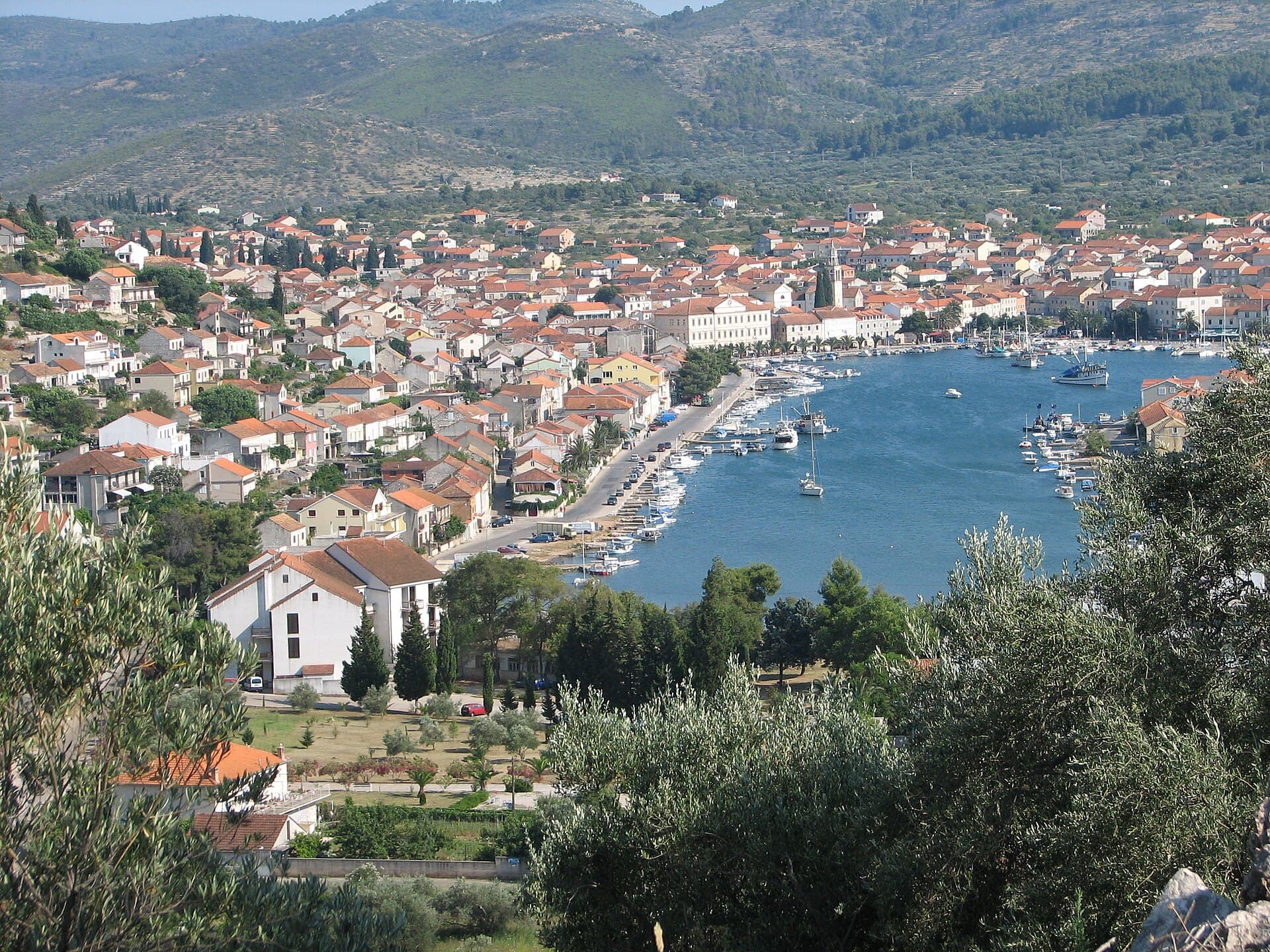
Vela Luka grew at the head of a deep bay on western Korčula, where a long waterfront links the harbour, the centre around St Joseph’s Church and the former shipbuilding area. Its maritime…
Read the guide
Know Komin? Correct us
Tell us in your own words what is not accurate. We check right away.Do not enter personal data. Corrections are checked by the StayBravo AI assistant; changes to the description are approved by an editor. Use the form instead
Do you know Komin?
Help the guests who come after you.
Help us complete
Nothing is published without an editor’s review.Report illegal content
Photo credits: Komin — Liilia Moroz (CC BY-SA 4.0) · Desne, Banja, Šarić Struga, Buk Vlaka, Vlaka, Slivno, Podrujnica, Krvavac II, Modro oko, Brštanik — Ma▀▄Ga (CC BY 3.0) · Opuzen — croatiatipscom (CC0) · Krvavac — Nips08 at Croatian Wikipedia (Public domain) · Momići — Ma▀▄Ga (CC BY-SA 3.0) · Vratar Fortress — Ma▀▄Ga (CC BY 4.0) · Apartman Frana DeLux - prvi red do mora, plaža 20 m — Ivan Mador (courtesy of the property owner) · Apartmani Stella — Zvjezdana Bebić (courtesy of the property owner) · Dubrovnik — Zysko serhii (CC BY-SA 4.0) · Orebić — Quahadi Añtó 11:23, 15 January 2011 (UTC) (CC BY 3.0) · Blato, Korčula — d.graso (CC BY 3.0) · Vela Luka — Wojtkow (CC BY-SA 4.0)