Dubravka
About this place
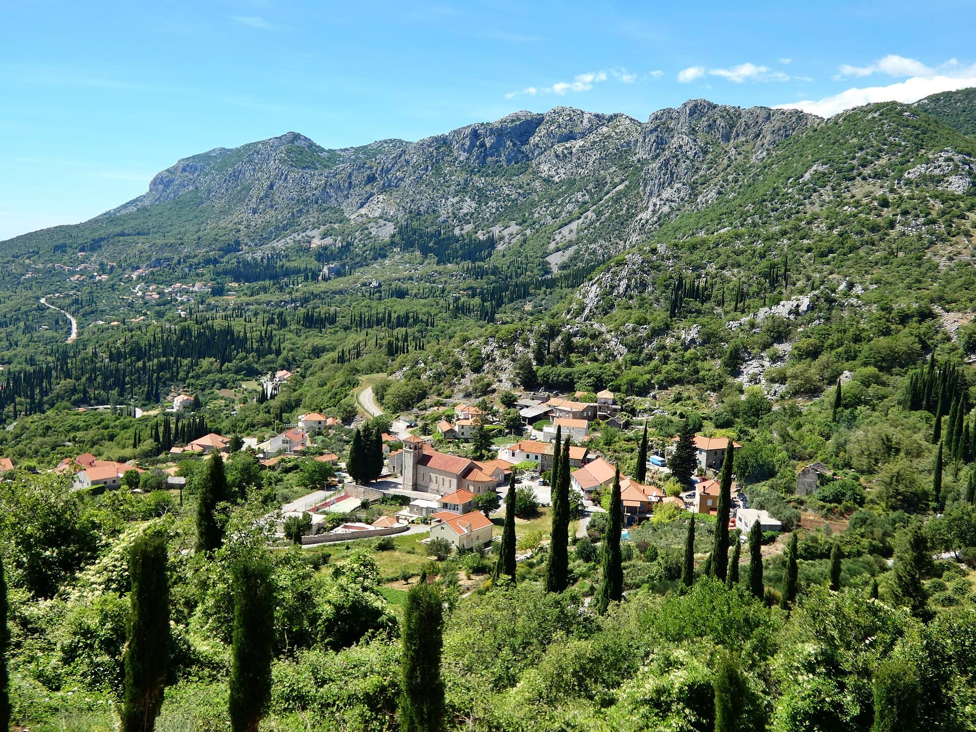
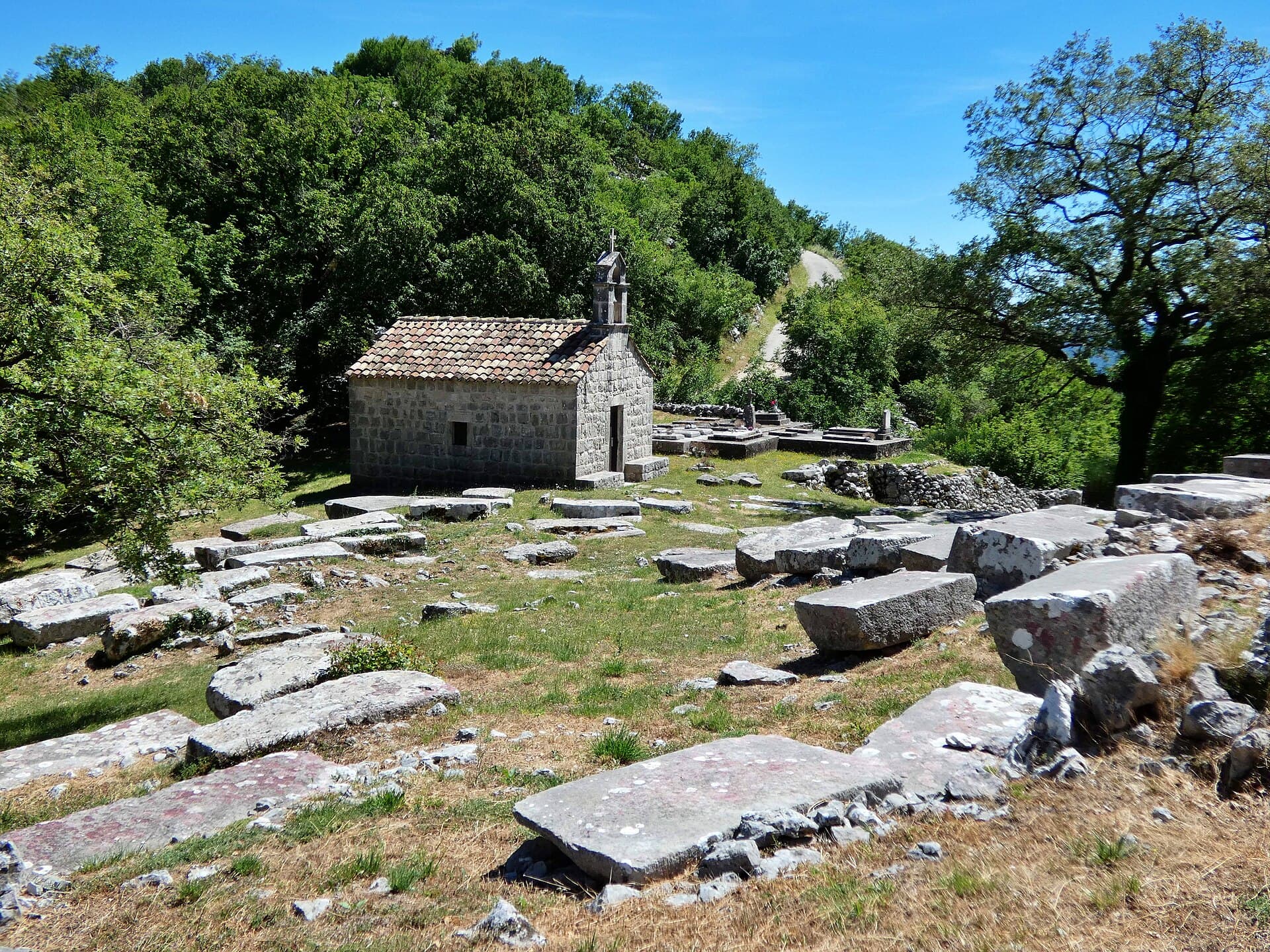
Dubravka occupies a mountain passage at Croatia’s far south-eastern edge, close to both Bosnia and Herzegovina and Montenegro. Its defining sight stands above the village on Varino Hill: the small Church of St Barbara and the largest surviving medieval cemetery in Konavle. A dry-stone wall encloses 104 stećci dating from the 14th and 15th centuries, including 94 complete tombstones and ten fragments. Thirty-one stones carry carved details such as cross-filled rosettes, curling vines, shields, a bow and arrow, and the outline of a hand. In 2016, St Barbara became part of the transnational UNESCO World Heritage property dedicated to medieval stećak tombstones across four countries. Although Dubravka belongs to the coastal municipality of Konavle, the village itself lies inland, so swimming requires a drive towards Molunat or the bathing spots beneath the Konavle cliffs. The reward here is different: a quiet encounter with medieval stonework, dry-stone walls and the rugged border landscape that shaped the eastern end of Konavle.
Dubravka’s position in the gap between the hills of Sokolina and Kočina explains its long-standing role as a passage from eastern Konavle into the mountainous hinterland. The village looks inland rather than towards the coast, with stone ground, dry-stone walls and a cemetery crowning the slope above its houses. The Church of St Barbara dates from the late 19th century, while the stećci around it are several centuries older. This meeting of a relatively recent chapel and a 14th- and 15th-century burial ground gives Dubravka an unusually distinctive landscape at Croatia’s south-eastern edge.
Things to see
Groblje sa stećcima i crkvom sv. Barbare
Landmark · Dubravka
On Varino Brdo above Dubravka, St Barbara’s Church and 104 stećci form the best-preserved medieval cemetery in Konavle.

Category:Church of St. Peter (near Karasovići)
Landmark · Poljice
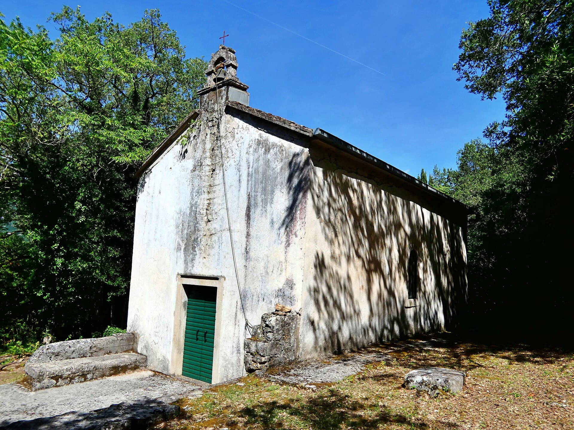
Near Karasovići, the Church of St Peter the Apostle combines a modest rustic-Baroque church with a large medieval cemetery on the edge of Konavle Field.
4 km from Dubravka
More to see
Stays nearby
- Apartment
 5 km from Dubravka
- Apartment
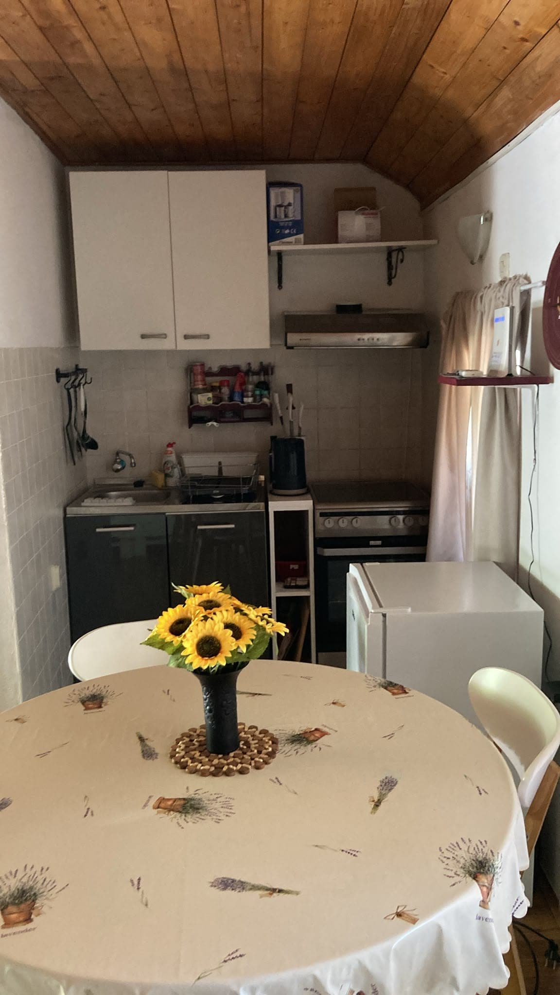 5 km from Dubravka
Be the first to list here
Guests looking for this place only see stays nearby for now. No commission, and enquiries come straight to you.
List your accommodation
Beaches
Dubravka has no beach of its own because it sits in the inland, upland part of Konavle. Swimming therefore means driving towards the coast: Molunat occupies a peninsula with two sheltered bays, while Pasjača lies below the village of Popovići at the foot of the Konavle cliffs. A steep, prepared path descends to Pasjača, whose shingle developed from stone discharged during construction of a drainage tunnel in the 1960s. The rocky bathing places of Zarubača, Puvalice, Vapina, Bjeline, Luka, Bugovina and Pendža are likewise reached from villages on the coastal side of Konavle, making a car particularly useful when staying in Dubravka.
Things to do
Begin on Varino Hill at the Church of St Barbara, where a dry-stone wall with two entrances encloses the medieval cemetery. Among its 104 tombstones, first look for slab- and chest-shaped examples carved with rosettes, crosses and vines, then seek out the bow and arrow, shield and hand motifs. From the hill, study the natural gap between Sokolina and Kočina, the feature that once linked this edge of Konavle with the hinterland. After returning through Dubravka, continue towards Gruda to contrast the village’s rocky border setting with the broad agricultural landscape of Konavle Field.
Tours and activities
AdAd · partner offers: Viator, GetYourGuideThe partner handles booking, payment and support. StayBravo may earn a commission on bookings made through these links.How we choose offersWe choose offers based on the page you are viewing: the partner destination for this place or the nearest one (with its distance), and on a sight page only offers that mention it. We show offers rated at least 4.3 with at least 10 reviews, without multi-day tours or pure transfers, ordered by rating adjusted for the number of reviews and then by the partner’s order. We do not use data about you, and the commission does not affect the order.GetYourGuide offers are selected and ordered by GetYourGuide based on the name of the nearest larger town or national park; we do not influence their selection and do not use data about you.Viator
Nearest destination: Dubrovnik (31 km)
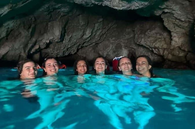
Dubrovnik: 7 Caves & Blue Cave Speedboat Tour (4h) (opens in a new tab)
Explore the famous Blue Cave and hidden sea caves on a small-group speedboat tour (max 8 guests) from Dubrovnik. Enjoy more time for swimming, snorkeling, and photo stops, plus complimentary drinks…
Rated 5 out of 5 · 1,967 reviews· 4 h
Free cancellation
from €60
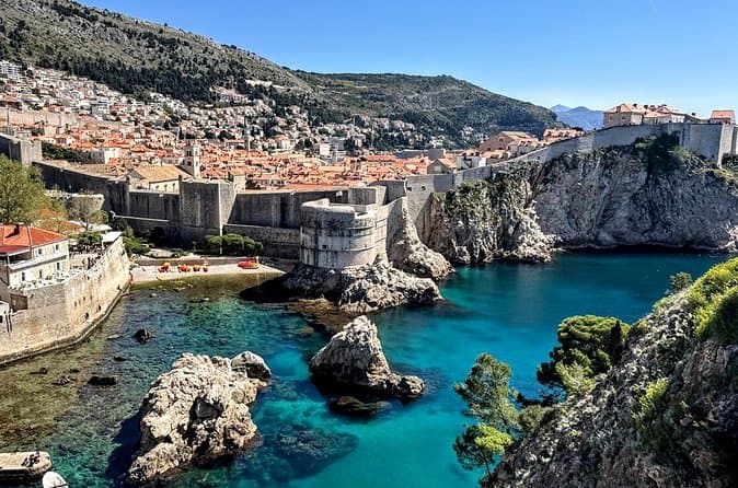
Game of Thrones and Old City Walking Tour in Dubrovnik (opens in a new tab)
Discover Dubrovnik & King's Landing – Two Experiences in One! Explore Dubrovnik's fascinating history and iconic Game of Thrones filming locations on an unforgettable 3-hour walking tour through the…
Rated 5 out of 5 · 965 reviews· 2.5–3 h
Free cancellation
from €33
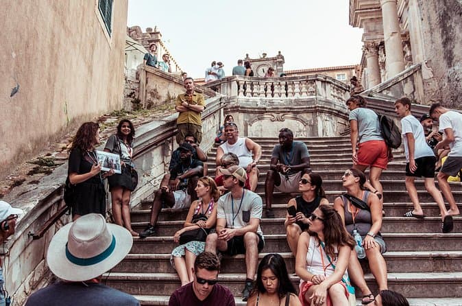
Dubrovnik: Game of Thrones Walking Tour (opens in a new tab)
Meet the real King's Landing! This tour is guided by a licensed tour guide (by the Croatian Ministry of Tourism), fluent in English (or Spanish, depending which language you book) and a Game of…
Rated 5 out of 5 · 1,930 reviews· 2 h
Free cancellation
from €25
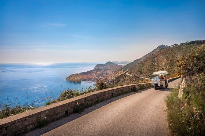
E-Tuk Tuk Tour in Dubrovnik (opens in a new tab)
This tour is ideal for the guests that want to avoid crowds. In this electric Tuk Tuk tour, we will go to the main viewpoints which are not accessible for the bigger vehicles. It is environmentally…
Rated 5 out of 5 · 1,920 reviews· 1.8 h
Free cancellation
from €40
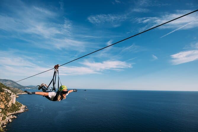
Dubrovnik Superman Zipline: 900m Over Adriatic Sea (opens in a new tab)
If you're searching for adrenaline and unique experience this is an activity for you. This 900 metres long Zipline is located on the Adriatic Sea, only 4 km from the Old town Dubrovnik. The superman…
Rated 5 out of 5 · 692 reviews· 1.3 h
Free cancellation
from €50
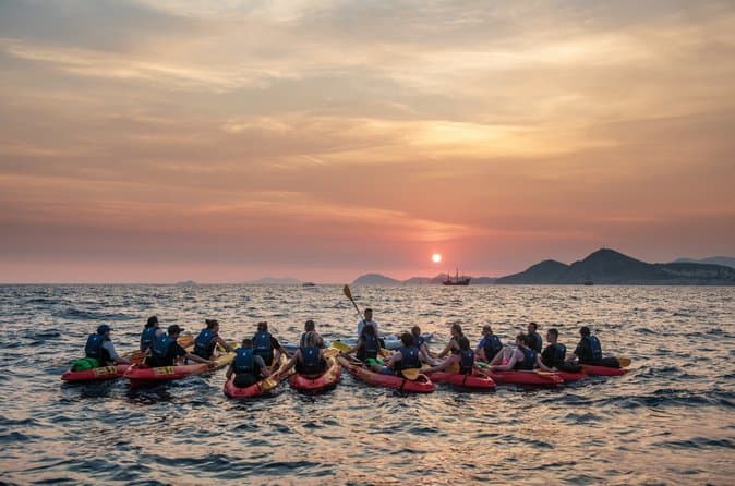
Dubrovnik: Sunset Kayaking & Snorkeling with water &wine (opens in a new tab)
Enjoy Dubrovnik's top summer activity and experience beautiful local natural and historical heritage in this 2 or 3 hour guided sea kayaking tour from the seaside. This tour features informative…
Rated 5 out of 5 · 1,231 reviews· 3 h
Free cancellation
from €40
GetYourGuide · Cavtat
We show GetYourGuide offers once you allow their cookies.
Practical information
Getting there and around
County road ŽC 6241 links Dubravka with Gruda and the D8 state road, following the principal route through upper Konavle. Local road LC 69057 provides another connection from the village towards Palje Brdo and the D8, so a car is the most practical option for combining the cemetery with distant coastal bathing spots. Nearby, the official municipal road plan identifies the D516 as the route between Palje Brdo, Vitaljina and the international border crossing towards Montenegro. Air passengers use Dubrovnik Airport near Čilipi and complete the final leg to Dubravka by road.
Frequently asked questions
How many stećci are at St Barbara?
The hilltop site above Dubravka contains 104 stećci: 94 complete tombstones and ten fragments.
Is Dubravka’s cemetery UNESCO-listed?
Yes. Since 2016, St Barbara has formed part of the transnational World Heritage property dedicated to medieval stećak tombstones.
Does Dubravka have its own beach?
No. The village lies inland, with the nearest coastal options reached by driving towards Molunat or Pasjača below Popovići.
Nearby
Dubravka
Open in OpenStreetMap(opens in a new tab)Larger towns
straight-line distance
Related guides
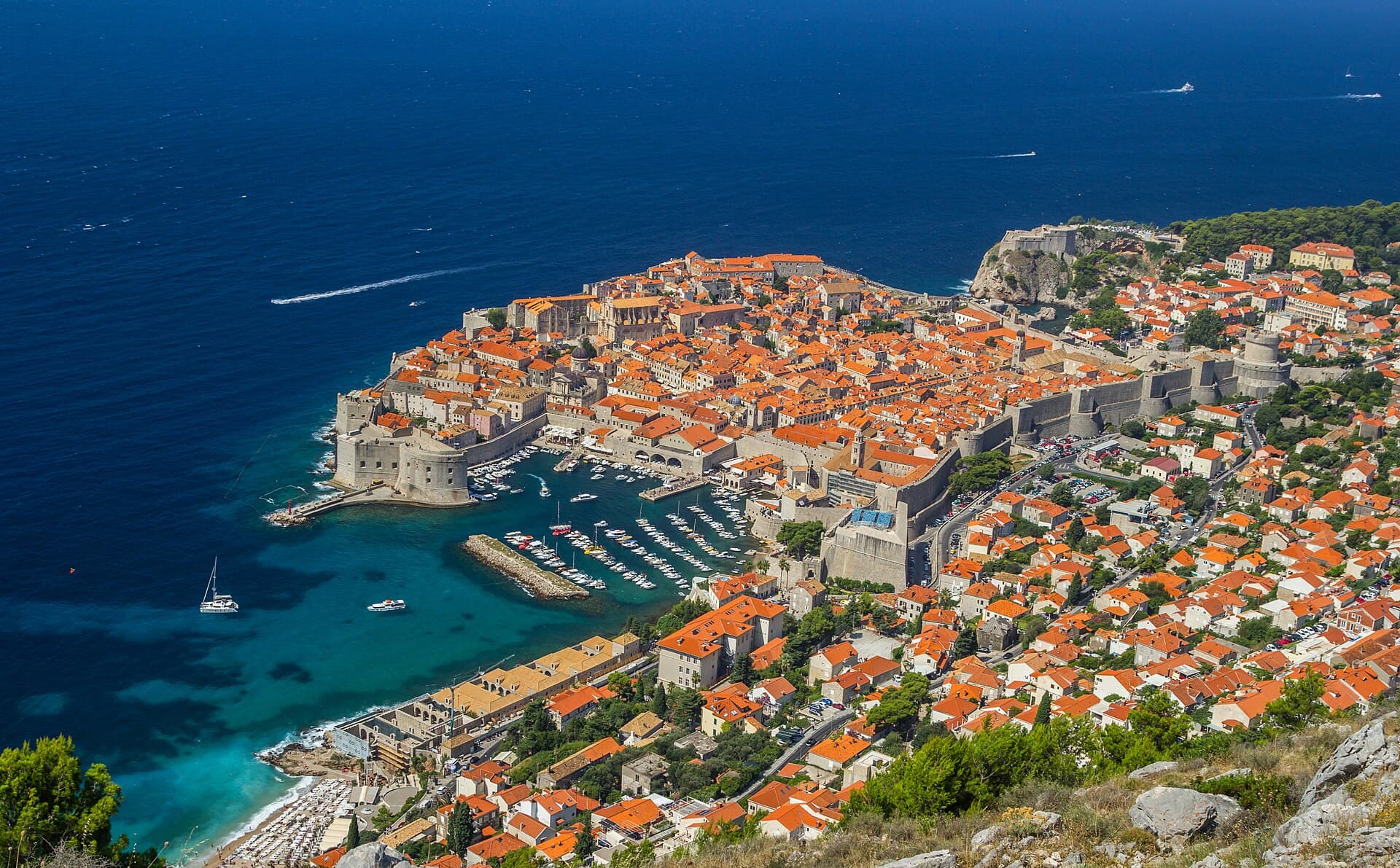
Dubrovnik
Dubrovnik’s historic centre is organised around Stradun, yet its character changes within a few steps of that main street. At the western end beside Pile stand the Large Onofrio Fountain,…
Read the guide

Orebić
Orebić is the main settlement of south-western Pelješac and has been tied to seafaring for centuries. Captains’ houses and gardens along the coastal area recall the period when Orebić…
Read the guide
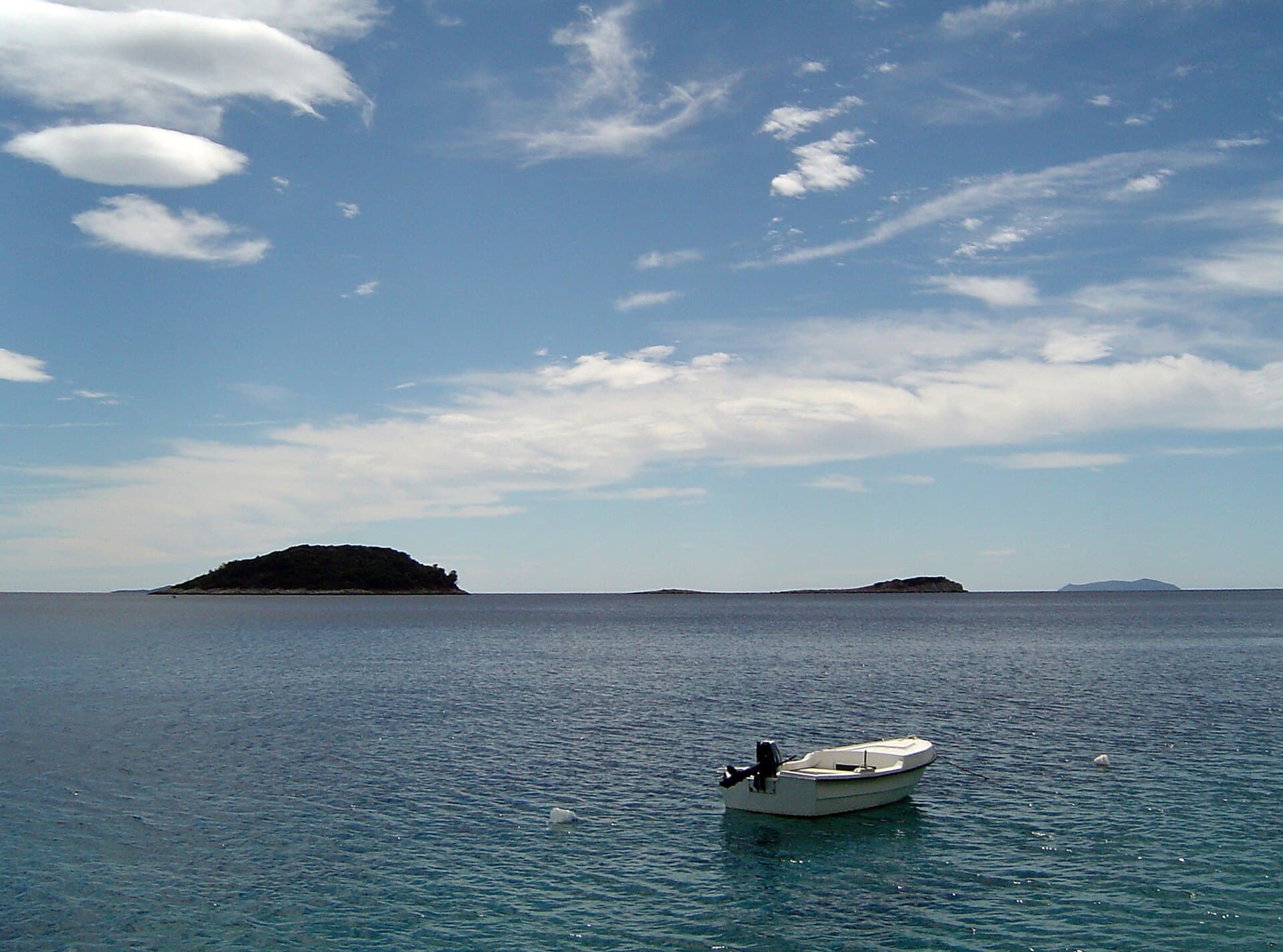
Blato, Korčula
Blato is not a seaside centre but a historic inland settlement in western Korčula’s fertile interior, while its municipality reaches Prigradica on the north coast and Prižba, Gršćica,…
Read the guide
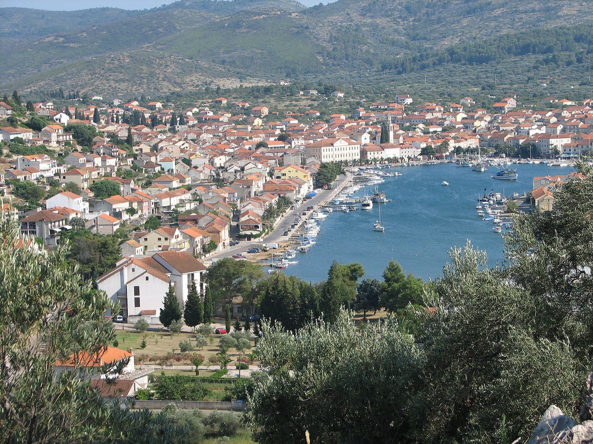
Vela Luka
Vela Luka grew at the head of a deep bay on western Korčula, where a long waterfront links the harbour, the centre around St Joseph’s Church and the former shipbuilding area. Its maritime…
Read the guide
Know Dubravka? Correct us
Tell us in your own words what is not accurate. We check right away.Do not enter personal data. Corrections are checked by the StayBravo AI assistant; changes to the description are approved by an editor. Use the form instead
Do you know Dubravka?
Help the guests who come after you.
Help us complete
Nothing is published without an editor’s review.Report illegal content
Photo credits: Dubravka, Groblje sa stećcima i crkvom sv. Barbare, Category:Church of St. Peter (near Karasovići) — Ma▀▄Ga (CC BY 4.0) · Dunave — August Dominus (CC BY-SA 3.0) · Konavle — Modzzak (Public domain) · Gruda, Konavle — Fridolin freudenfett (CC BY-SA 4.0) · Apartman Cypress, Apartmani Kamena kuća — Jelena Pecar (courtesy of the property owner) · Dubrovnik — Zysko serhii (CC BY-SA 4.0) · Orebić — Quahadi Añtó 11:23, 15 January 2011 (UTC) (CC BY 3.0) · Blato, Korčula — d.graso (CC BY 3.0) · Vela Luka — Wojtkow (CC BY-SA 4.0)