
Kalnik
About this place
Kalnik is a small municipal centre on the southern slopes of Kalnička gora, about 20 kilometres northwest of Križevci. Above the village, the ruins of Veliki Kalnik occupy a rocky ridge; the fortress was first recorded in 1243, making its medieval masonry appear almost fused with the natural cliffs. In the village centre stands the parish church of St Brictius, an uncommon dedication in Croatia and a building layered with Gothic, Baroque and later work; its sanctuary was completed in 1518. Outdoor pursuits provide the strongest reason to stay longer. A circular educational trail starts near the old fortress and loops around both sides of the ridge, while marked mountain paths climb towards Vranilac, the 643-metre summit of Kalnička gora. Cliffs around the ruins form an established sport-climbing venue. At 480 metres, Kalnik Mountain Hut includes a restaurant and 36 beds. An asphalt road, steep near its upper end, reaches the hut and adjacent parking. County buses connect Kalnik with Križevci in the 2024/25 network, although their weekday-oriented timetable makes driving the more flexible choice for a day trip.
Kalnik is simultaneously a village, a municipal centre and the gateway to the most dramatic section of Kalnička gora. The settlement lies at 359 metres, beneath the cliffs of Veliki Kalnik and the ridge leading to 643-metre Vranilac. Medieval Brezovica was first documented in 1217 and was proclaimed a royal town by Louis I in 1367. Three closely spaced landmarks now define the place: the Church of St Brictius in the village, the fortress on its rock and Kalnik Mountain Hut at 480 metres. This unusually compact meeting of lived settlement, medieval fortification and marked mountain paths means that sightseeing naturally expands into a ridge walk rather than ending with a brief circuit of the village.
Things to see
Veliki Kalnik first appears in records as castrum Kemluk in 1243, while the fortress complex on Sveta Katarina hill developed over several periods. Its oldest section crowns the rock; the main remains include two Gothic towers and the ruined Chapel of St Catherine, with a residential wing added on the southern side in the 17th century. In the village, the Church of St Brictius preserves a different cross-section of Kalnik’s past. First recorded in 1421, it received its polygonal sanctuary and defensive tower in 1518. The interior is especially significant for fragments of 14th-century wall painting in the nave and a more complete late-medieval painted cycle in the sanctuary. The ruins of Mali Kalnik stand farther west along the Pusta Barbara ridge.

Stari grad Veliki Kalnik
Landmark · Šopron
Old Town of Veliki Kalnik is a sprawling ruin complex on a steep rock of Mount Kalnik, known for its defence during the Mongol invasion of 1242.
2 km from Kalnik

Čanjevo
Landmark · Čanjevo
Čanjevo is an archaeological site of a medieval fortress on a steep crag in the Kalnik mountains.
9 km from Kalnik


Pavlinski samostan i crkva sv. Ane u Križevcima
Landmark · Križevci
church building in Croatia
12 km from Kalnik
Stays further afield
- Apartment
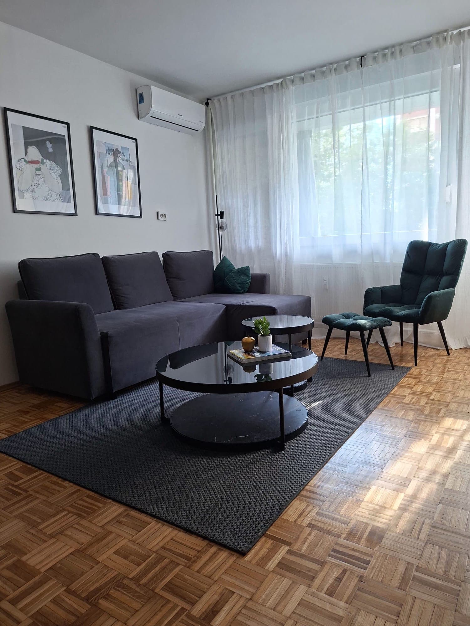 51 km from Kalnik
- Holiday home
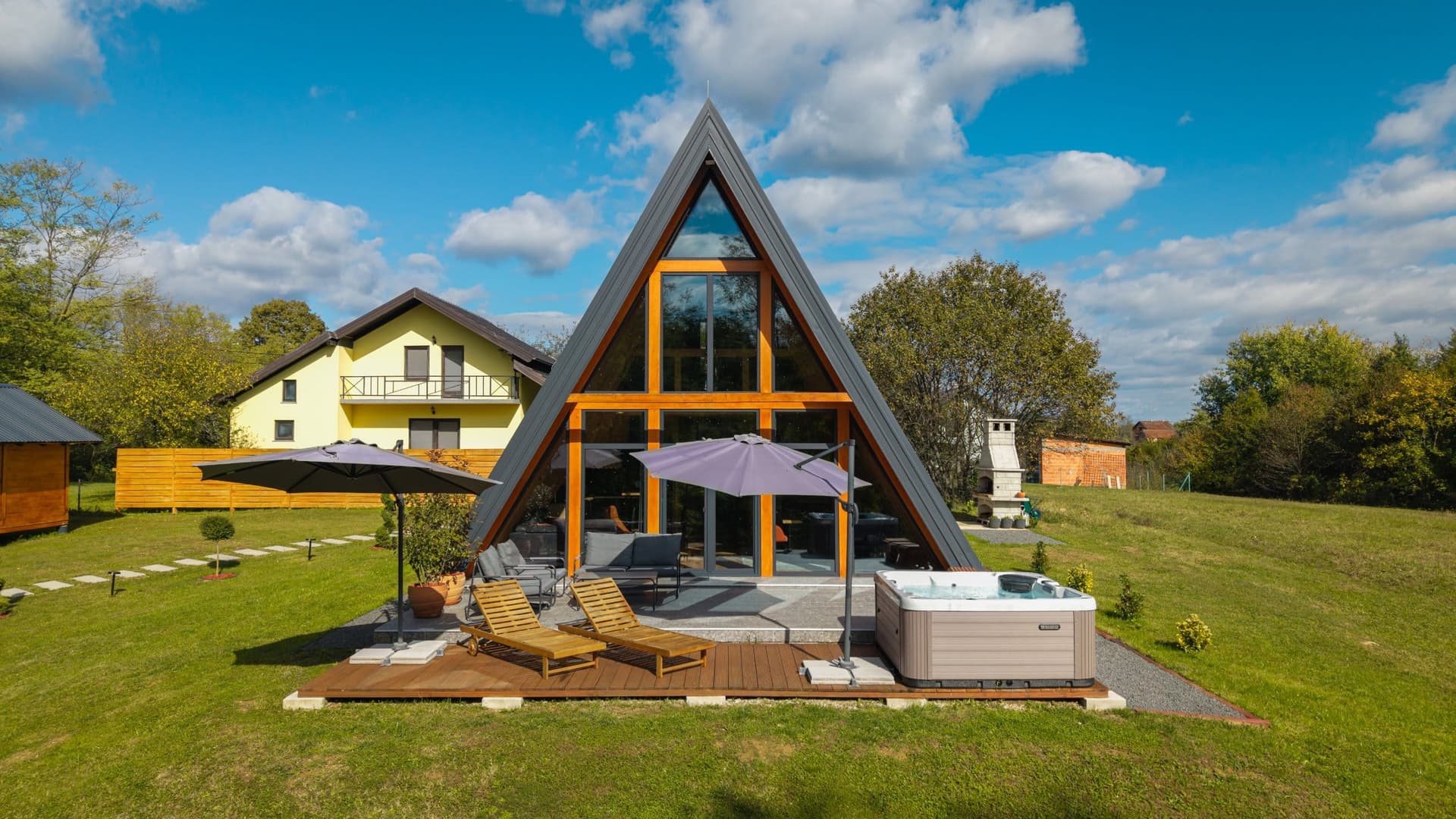 99 km from Kalnik
Be the first to list here
Guests looking for this place only see stays nearby for now. No commission, and enquiries come straight to you.
List your accommodation
Things to do
Start in central Kalnik at the Church of St Brictius, then climb on foot or follow the steep road towards the mountain hut. A short approach from the hut reaches Veliki Kalnik, where passages through the surviving towers lead towards the higher rock-built sections. Continue on the circular Educational Trail, which begins at the fortress, follows the northern side of the ridge towards Mali Kalnik and returns along the southern slope. Stronger hikers can extend the outing to Vranilac or tackle the more demanding Kalnička greda ridge route. Climbing sectors beside the old fortress require proper equipment and experience, whereas the meadow by the hut offers an easy place to rest while looking south across Prigorje.
Food and drink
Kalnik Mountain Hut is the principal dining stop beside the walking routes and the old fortress. It stands at 480 metres between Vranilac and Veliki Kalnik and contains a restaurant as well as 36 beds for visitors staying overnight. The dining facilities comprise two separate rooms seating up to 32 and 58 people, so the hut also hosts pre-arranged celebrations. Its position makes it possible to place lunch between a visit to the fortress and the circular Educational Trail without descending to the village. Check the hut’s current opening arrangements directly before travelling, particularly outside the busiest weekend periods.
Tours and activities
AdAd · partner offers: Viator, GetYourGuideThe partner handles booking, payment and support. StayBravo may earn a commission on bookings made through these links.How we choose offersWe choose offers based on the page you are viewing: the partner destination for this place or the nearest one (with its distance), and on a sight page only offers that mention it. We show offers rated at least 4.3 with at least 10 reviews, without multi-day tours or pure transfers, ordered by rating adjusted for the number of reviews and then by the partner’s order. We do not use data about you, and the commission does not affect the order.GetYourGuide offers are selected and ordered by GetYourGuide based on the name of the nearest larger town or national park; we do not influence their selection and do not use data about you.Viator
Nearest destination: Zagreb (50 km)
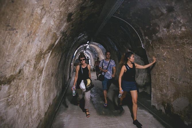
Communism & Croatian Homeland War Tour (opens in a new tab)
Explore the turbulent 20th century in Croatia in a entertaining way combining historical facts and personal experiences. You will find out more about Croatia’s relations with neighbouring countries…
Rated 5 out of 5 · 1,561 reviews· 2 h
Free cancellation
from €39
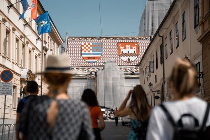
Zagreb Highlights: Old Town, WWII tunnels, Funicular & Tastings (opens in a new tab)
Zagreb Highlights keeps groups small, up to 16 people, so you get a genuinely personal experience with your licensed local guide. In 2 hours, you'll cover the city's must-see landmarks, descend into…
Rated 5 out of 5 · 1,227 reviews· 2 h
Free cancellation
from €20
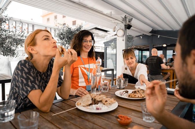
Zagreb Food Tour: Local Dishes & City Stories (opens in a new tab)
Join a small-group food tour of Zagreb, and spend 3 hours tasting authentic local dishes at some of the city's best food spots. From savoury street food to traditional pastries and local liquor…
Rated 5 out of 5 · 296 reviews· 3 h
Free cancellation
from €79
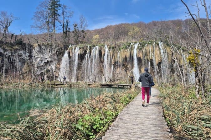
Plitvice Lakes Guided Day Tour from Zagreb (opens in a new tab)
Explore the beautiful Plitvice Lakes National Park on this day tour from Zagreb. Located at the top of Croatia’s Adriatic region, in the Dinaric Alps, this UNESCO-listed site is one of the must-see…
Rated 4.9 out of 5 · 526 reviews· 11 h
Free cancellation
from €65
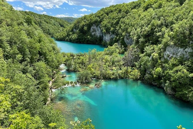
Plitvice Lakes with Ticket & Rastoke Guided Tour from Zagreb (opens in a new tab)
Escape the city and immerse yourself in Croatia’s most stunning natural wonder—Plitvice Lakes National Park, a UNESCO World Heritage site. This full-day guided tour from Zagreb includes entry…
Rated 4.9 out of 5 · 1,045 reviews· 10 h
Free cancellation
from €75
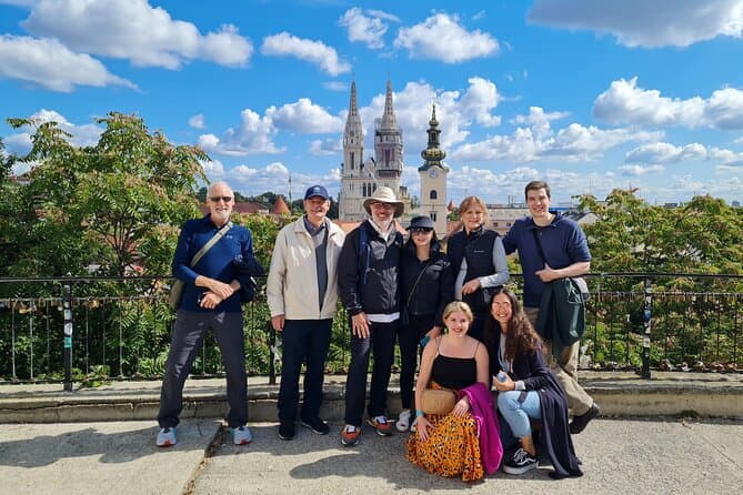
Walking tour of Zagreb (opens in a new tab)
Get your walking shoes on and take a stroll with us as we show you the highlights of our wonderful city. We have the local insights and handy tips to leave you wanting to explore some more. We will…
Rated 4.9 out of 5 · 513 reviews· 2–3 h
Free cancellation
from €20
GetYourGuide · Varaždin
We show GetYourGuide offers once you allow their cookies.
Practical information
Practical information
Wear footwear with reliable grip because the ground around the fortress is rocky and uneven, and some ridge routes are considerably harder than the circular Educational Trail. The mountain hut at 480 metres is the practical base for meals, overnight stays and ascents towards Vranilac; it provides 36 beds. The Educational Trail starts beside Veliki Kalnik and returns to the same area after traversing the northern and southern sides of the ridge. The climbing cliffs are not ordinary footpaths, and the sectors near the fortress should be used only by properly equipped climbers. St Brictius is an active parish church, so interior visits must respect services and parish access arrangements.
Getting there and around
Kalnik is about 20 kilometres by road from Križevci, the principal rail and bus gateway for this part of Prigorje. An asphalt road runs through the village and climbs more steeply to the mountain hut and Veliki Kalnik area. The county’s 2024/25 public-transport network lists a weekday Kalnik–Križevci service, and Čazmatrans also publishes a dedicated timetable for the route. Departures are limited and oriented towards working days, so check the current schedule before setting out. A car provides the simplest return after a hike, while road cyclists should be prepared for the final climb towards the hut.
Frequently asked questions
When was Veliki Kalnik first recorded?
Veliki Kalnik fortress was first recorded in 1243 as castrum Kemluk.
How high is Vranilac?
Vranilac, the highest summit of Kalnička gora, reaches 643 metres.
Does Kalnik Mountain Hut offer accommodation?
Yes, Kalnik Mountain Hut at 480 metres has 36 beds and a restaurant.
Where does the Educational Trail begin?
The Educational Trail begins at Veliki Kalnik fortress and loops around both sides of the ridge.
Is there a bus between Kalnik and Križevci?
The 2024/25 county network lists a weekday Kalnik–Križevci route; check the current timetable before travelling.
Nearby
Kalnik
Open in OpenStreetMap(opens in a new tab)Smaller places
straight-line distance
Related guides

Osijek
Tvrđa and the centre around the main square are distinct starting points for understanding Osijek. The former emphasises the fortified historic quarter and Baroque architecture; the latter…
Read the guide

Vukovar
A cultural visit to Vukovar has several separate centres of gravity. Eltz Palace and the City Museum address the city and its inhabitants across different periods. Vučedol reaches much…
Read the guide

Stubičke Toplice
Stubičke Toplice derives almost its entire identity from thermal water and the Zagorje landscape. There is no large urban historic core; green spaces, bathing facilities and traces of the…
Read the guide
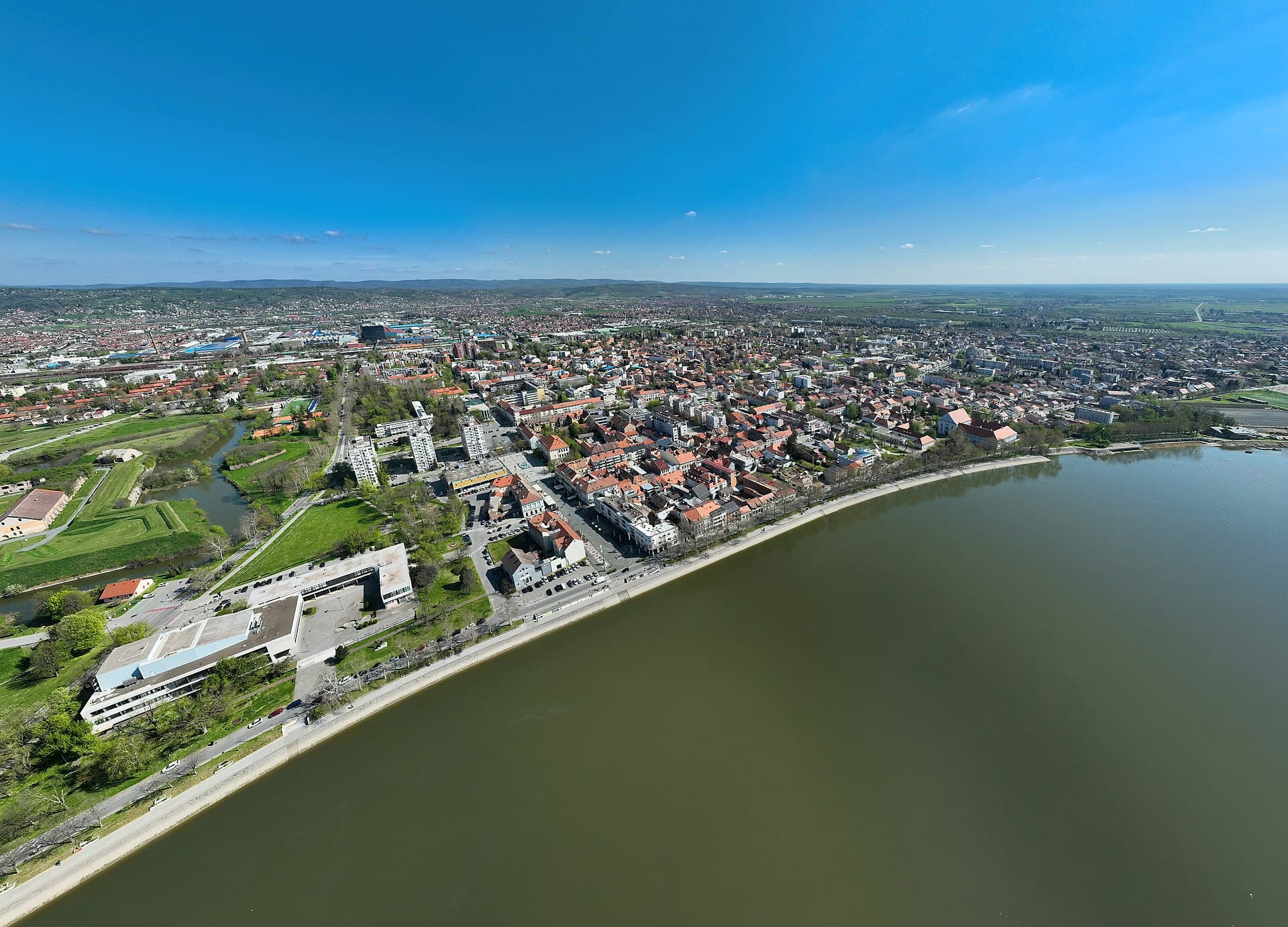
Slavonski Brod
Slavonski Brod developed around one of the major crossings of the Sava, and that border and transport role left a strong mark on the city. Brod Fortress represents the eighteenth-century…
Read the guide
Know Kalnik? Correct us
Tell us in your own words what is not accurate. We check right away.Do not enter personal data. Corrections are checked by the StayBravo AI assistant; changes to the description are approved by an editor. Use the form instead
Do you know Kalnik?
Help the guests who come after you.
Help us complete
Nothing is published without an editor’s review.Report illegal content
Photo credits: Kalnik, Stari grad Veliki Kalnik, Križevci Cathedral — SpeedyGonsales (CC BY-SA 3.0) · Vinarec — Fraxinus Croat (CC BY-SA 3.0) · Sveti Petar Orehovec — Paradox86 (Public domain) · Čanjevo — Mihaela Maček (CC BY-SA 4.0) · Pavlinski samostan i crkva sv. Ane u Križevcima — Andres rus (CC BY-SA 3.0) · Book Me Apartman — Natalija Kirša (courtesy of the property owner) · Kuća za odmor Green Zen — IVICA ŠKRINJARIĆ (courtesy of the property owner) · Osijek — Rp031 (CC BY-SA 4.0) · Vukovar — Bybbisch94, Christian Gebhardt (CC BY-SA 4.0) · Stubičke Toplice — MOs810 (CC BY-SA 4.0) · Slavonski Brod — Petar Milošević (CC BY-SA 4.0)