Trilj
About this place
Trilj stands on the Cetina in the Dalmatian hinterland, about 30 kilometres from Split, at a crossing where routes towards Salona, Narona and the interior shaped settlement for centuries. Its nickname, the “town of bridges”, makes sense on a riverside walk, but the deepest historical layer lies above town at Gardun. Here, the Roman legionary camp of Tilurium covered roughly 12 hectares and controlled the river crossing. Downstream, medieval Nutjak watches over the canyon and is closely associated with the Poljica nobleman Žarko Dražojević. Trilj is also a base for rafting, kayaking, canyoning, riding and cycling, while gentler choices include the riverside park and an excursion to the protected spring and mills at Grab. Summer swimming takes place in the Cetina, particularly at arranged river spots in Trilj and Košute, although cold water, currents and changing levels demand caution. Local menus feature Cetina trout, frogs, crayfish, arambašići, lamb, dried mutton and fritters—a repertoire that clearly distinguishes Trilj from coastal Dalmatian towns.
Trilj grew beside one of the Cetina’s most important crossings, making its bridges more than a civic emblem: they continue a transport role thousands of years old. Above the modern town, Roman Tilurium at Gardun controlled the river and provincial roads, while downstream Nutjak defended the canyon approach in the late Middle Ages. Trilj occupies the meeting point of the fertile Sinj field, the Cetina canyon and the Kamešnica massif. This combination of plain, fast-flowing river and karst hinterland explains why the town’s identity draws equally on archaeology, river-based food and outdoor adventure.
Things to see
Tilurium at Gardun was the base of the Roman Seventh Legion and covered about 12 hectares; sections of wall remain visible along its western and part of its northern edge. Nutjak fortress rises above the Cetina canyon, built to control the approach towards Poljica and associated with Žarko Dražojević. In Trilj itself, the succession of older and modern crossings explains the nickname “town of bridges”, while the municipal park follows the Cetina’s western bank. Nearby Grab protects a 0.39-square-kilometre landscape encompassing the spring of its short stream and a sequence of historic mills.

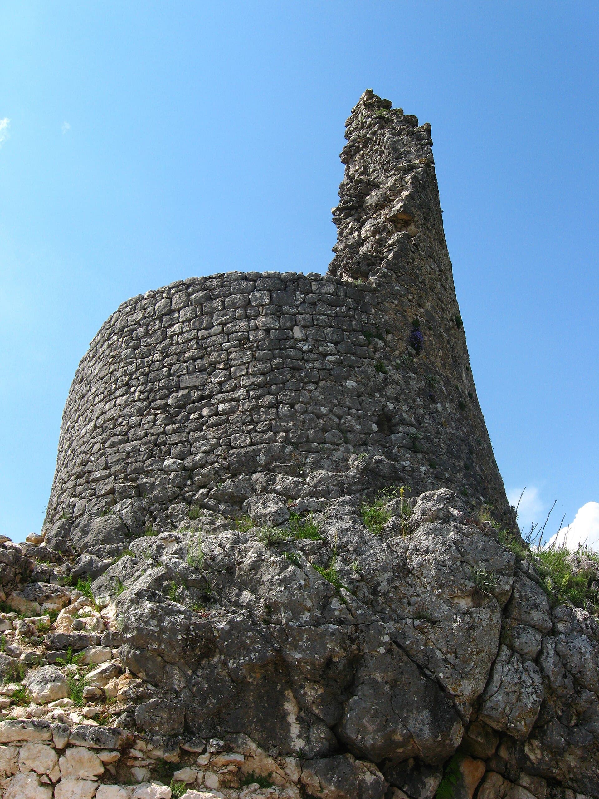

Crkva Svih Svetih ispod Čačvine
Landmark · Čačvina
The old Church of All Saints stands below Čačvina Fortress, forming part of Čačvina’s historic landscape.
7 km from Trilj

Stays nearby
- Apartment
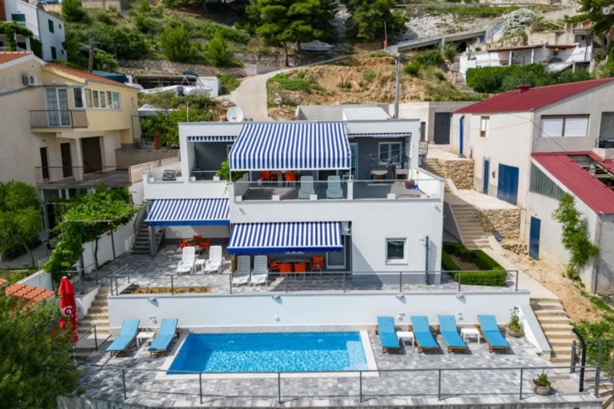 23 km from Trilj
- Apartment
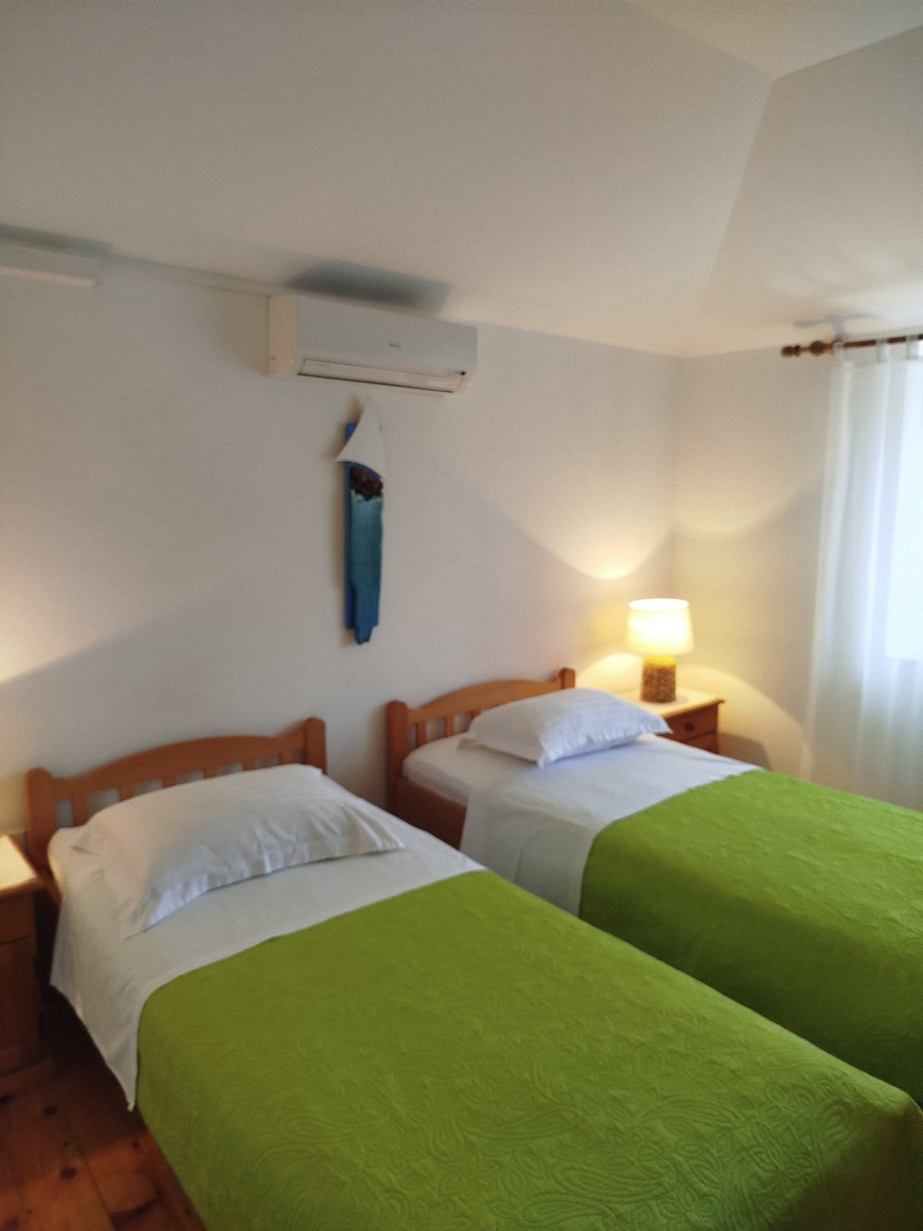 25 km from Trilj
Be the first to list here
Guests looking for this place only see stays nearby for now. No commission, and enquiries come straight to you.
List your accommodation
Beaches
Swimming in Trilj means the Cetina River, which runs through town, rather than a sea beach. The clearest developed riverfront section lies on the left bank between Grab and Gubavica, where a city project covered a promenade and the Drinić Veliki and Drinić Mali bathing areas. Drinić Veliki was arranged in terraces, with a sandy section, green space and parking. Walk the riverbank first, then use the marked access points for a swim before crossing the Cetina towards the town centre. Trilj’s tourist board specifically highlights river swimming as one of the town’s summer experiences.
Things to do
Start beside the Cetina in the town park and among Trilj’s bridges, then climb to Gardun to see the remains of Roman Tilurium. Return to the valley for trout or arambašići before choosing an afternoon kayak or guided rafting trip. A gentler alternative is to drive to Grab, where a path follows the two-kilometre stream from its spring past historic watermills. Towards evening, walk the Trilj riverbank, when the bridges best reveal how closely the town is tied to the Cetina. Save Nutjak for a separate outing because of its uneven approach and exposed position above the canyon.
Food and drink
Trilj’s cooking follows the Cetina and the livestock traditions of the hinterland. The local tourist board lists Cetina trout, frogs, river crayfish, arambašići, boiled or spit-roasted lamb, veal and young cockerel cooked under the bell, dried mutton and fritters. Restaurant Dalmacija in Vojnić Sinjski, within the wider Trilj area, specialises in home-style Dalmatian cooking. At riverside restaurants, ask which fish is available from the day’s supply, while dishes prepared under the peka generally need to be ordered in advance because their slow cooking takes several hours.
Tours and activities
AdAd · partner offers: Viator, GetYourGuideThe partner handles booking, payment and support. StayBravo may earn a commission on bookings made through these links.How we choose offersWe choose offers based on the page you are viewing: the partner destination for this place or the nearest one (with its distance), and on a sight page only offers that mention it. We show offers rated at least 4.3 with at least 10 reviews, without multi-day tours or pure transfers, ordered by rating adjusted for the number of reviews and then by the partner’s order. We do not use data about you, and the commission does not affect the order.GetYourGuide offers are selected and ordered by GetYourGuide based on the name of the nearest larger town or national park; we do not influence their selection and do not use data about you.GetYourGuide · Omiš
We show GetYourGuide offers once you allow their cookies.
Viator
Nearest destination: Dalmatia (13 km)
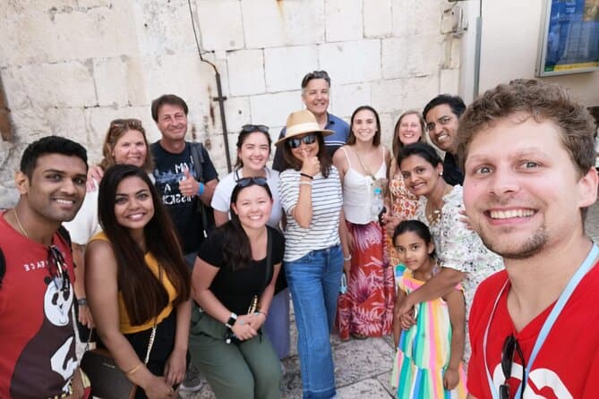
Split Walking Tour with Professor of History (opens in a new tab)
Private tours - [email protected] Professor of history and experienced local guide that started a new tour inside a city. Visiting Diocletians palace is great, but visiting Palace, Medieval…
Rated 5 out of 5 · 1,403 reviews· 2.3 h
Free cancellation
from €20
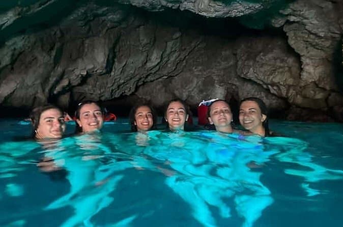
Dubrovnik: 7 Caves & Blue Cave Speedboat Tour (4h) (opens in a new tab)
Explore the famous Blue Cave and hidden sea caves on a small-group speedboat tour (max 8 guests) from Dubrovnik. Enjoy more time for swimming, snorkeling, and photo stops, plus complimentary drinks…
Rated 5 out of 5 · 1,967 reviews· 4 h
Free cancellation
from €60
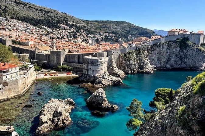
Game of Thrones and Old City Walking Tour in Dubrovnik (opens in a new tab)
Discover Dubrovnik & King's Landing – Two Experiences in One! Explore Dubrovnik's fascinating history and iconic Game of Thrones filming locations on an unforgettable 3-hour walking tour through the…
Rated 5 out of 5 · 965 reviews· 2.5–3 h
Free cancellation
from €33
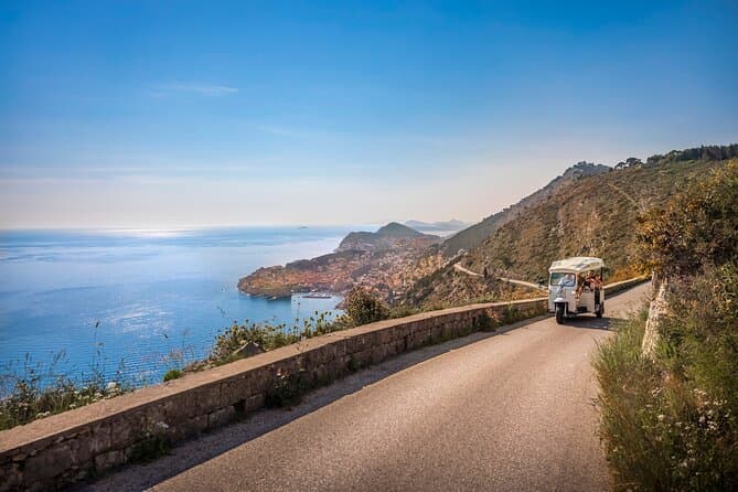
E-Tuk Tuk Tour in Dubrovnik (opens in a new tab)
This tour is ideal for the guests that want to avoid crowds. In this electric Tuk Tuk tour, we will go to the main viewpoints which are not accessible for the bigger vehicles. It is environmentally…
Rated 5 out of 5 · 1,920 reviews· 1.8 h
Free cancellation
from €40
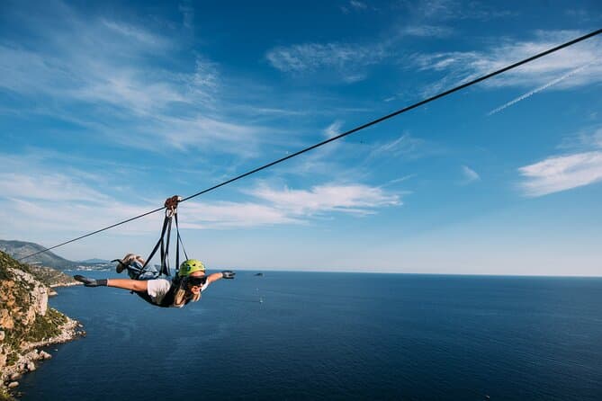
Dubrovnik Superman Zipline: 900m Over Adriatic Sea (opens in a new tab)
If you're searching for adrenaline and unique experience this is an activity for you. This 900 metres long Zipline is located on the Adriatic Sea, only 4 km from the Old town Dubrovnik. The superman…
Rated 5 out of 5 · 692 reviews· 1.3 h
Free cancellation
from €50
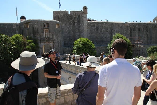
Dubrovnik: Discover the Old Town Walking Tour (opens in a new tab)
Best of the best 2024 winner! This tour is in the top 1% of the tours worldwide! Check out why! There are few places in Europe where medieval walls, red-tiled roofs and marble streets meet the…
Rated 4.9 out of 5 · 5,215 reviews· 1.5 h
Free cancellation
from €20
Practical information
Practical information
The Trilj Tourist Board is at Kralja Tomislava 1a and provides information on local guides, Cetina activities and accommodation. Rafting, canyoning, kayaking and riding should be booked with a registered operator, as programme difficulty depends on water levels and participants’ experience. Closed shoes are useful at Tilurium, Nutjak and the Grab mills; strong summer heat at Gardun and the cold Cetina can require very different equipment on the same day. Shops and everyday services are available in Trilj, while Split is the nearest major transport and medical centre.
Getting there and around
For local travel around the Cetina area, Promet Split runs route 70: Bisko–Čaporice–Trilj–Košute–Trilj–Grab. Its timetable, effective from 7 April 2026, says that at Bisko route 70 waits for arrivals of Split route 69 at 2pm, 3.15pm and 8.25pm, making Bisko the transfer point from Split. Split Bus Station’s March 2026 operating log also lists a 5.30pm Split–Trilj–Studenci–Imotski departure. Use route 70 for Košute and Grab, and check the operator’s timetable for your travel date before leaving for Split.
Frequently asked questions
Why is Trilj called the town of bridges?
Trilj developed at an important Cetina crossing, and numerous older and modern bridges have linked its riverbanks over time.
What can be seen at Tilurium?
At Gardun, visitors can see sections of the western and northern walls of the Seventh Legion’s Roman camp, which covered about 12 hectares.
Can you swim in the Cetina at Trilj?
Yes, swimming is part of the summer experience in Trilj and Košute, but arranged access points should be used because the water is cold and currents can be strong.
What is a typical Trilj dish?
Cetina trout most directly represents the river, while arambašići, lamb, dried mutton and fritters reflect the hinterland.
Which river runs through Trilj?
The Cetina runs through Trilj and is used for summer swimming.
Where are Drinić Veliki and Drinić Mali?
They are developed bathing areas on the Cetina’s left bank, between Grab and Gubavica.
Which bus goes from Trilj to Grab?
Promet Split route 70 runs via Trilj to Grab.
Where does route 70 connect with the bus from Split?
At Bisko, route 70 waits for arrivals of Promet Split route 69 from Split.
What is Tilurium?
Tilurium is a Roman military camp on the plateau above Trilj, one of the key military centres of Roman Dalmatia.
Nearby
Trilj
Open in OpenStreetMap(opens in a new tab)straight-line distance
Related guides
Split
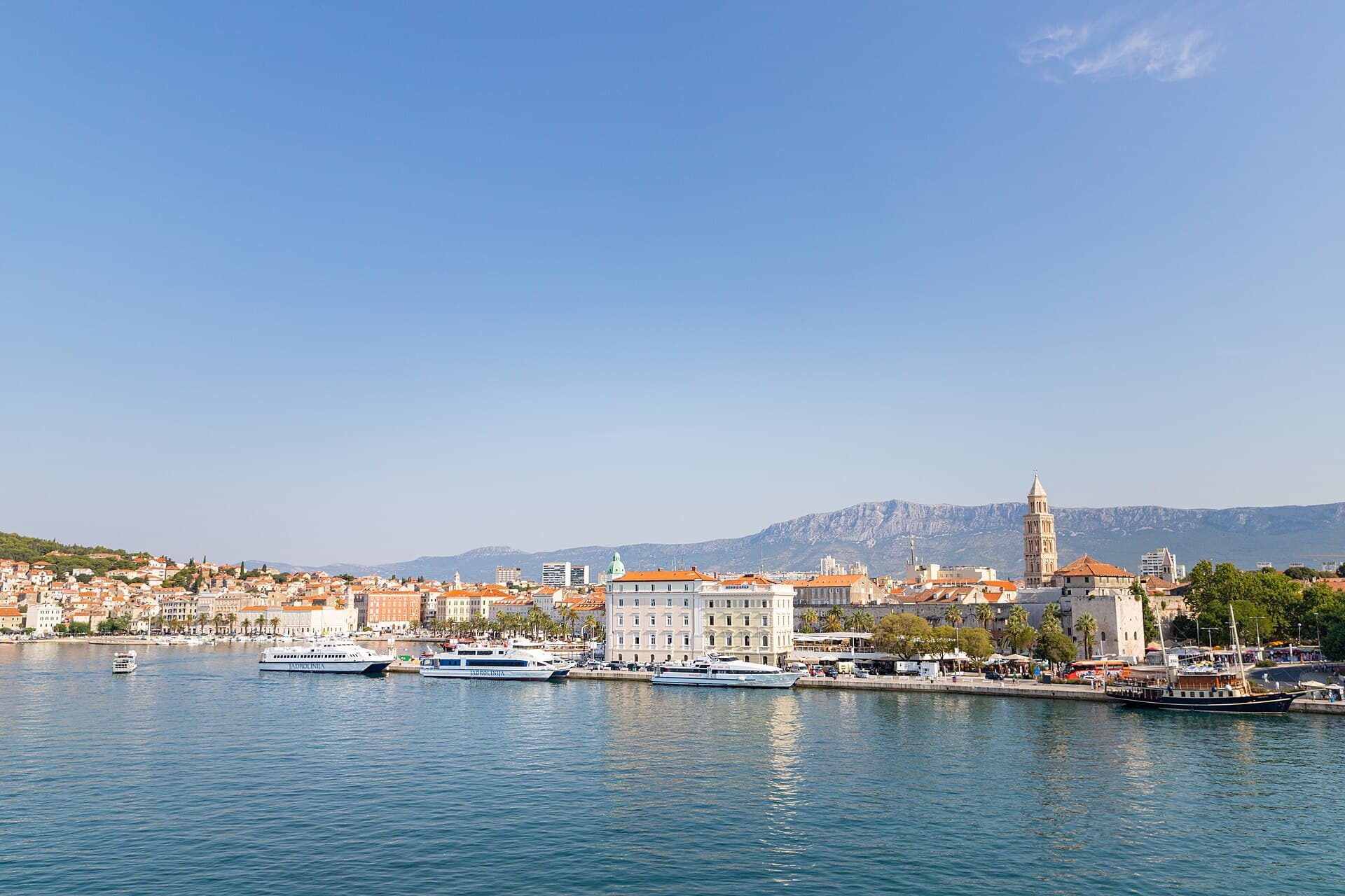
In Split, the transition from ancient monument to ordinary street is almost imperceptible: entering the southern part of Diocletian’s Palace from the Riva leads towards the Peristyle, then…
Read the guide

Baška Voda
Baška Voda lies in the western part of the Makarska Riviera directly below the Biokovo massif. Once a fishing and seafaring settlement, it developed into a resort whose centre remains…
Read the guide
Podstrana
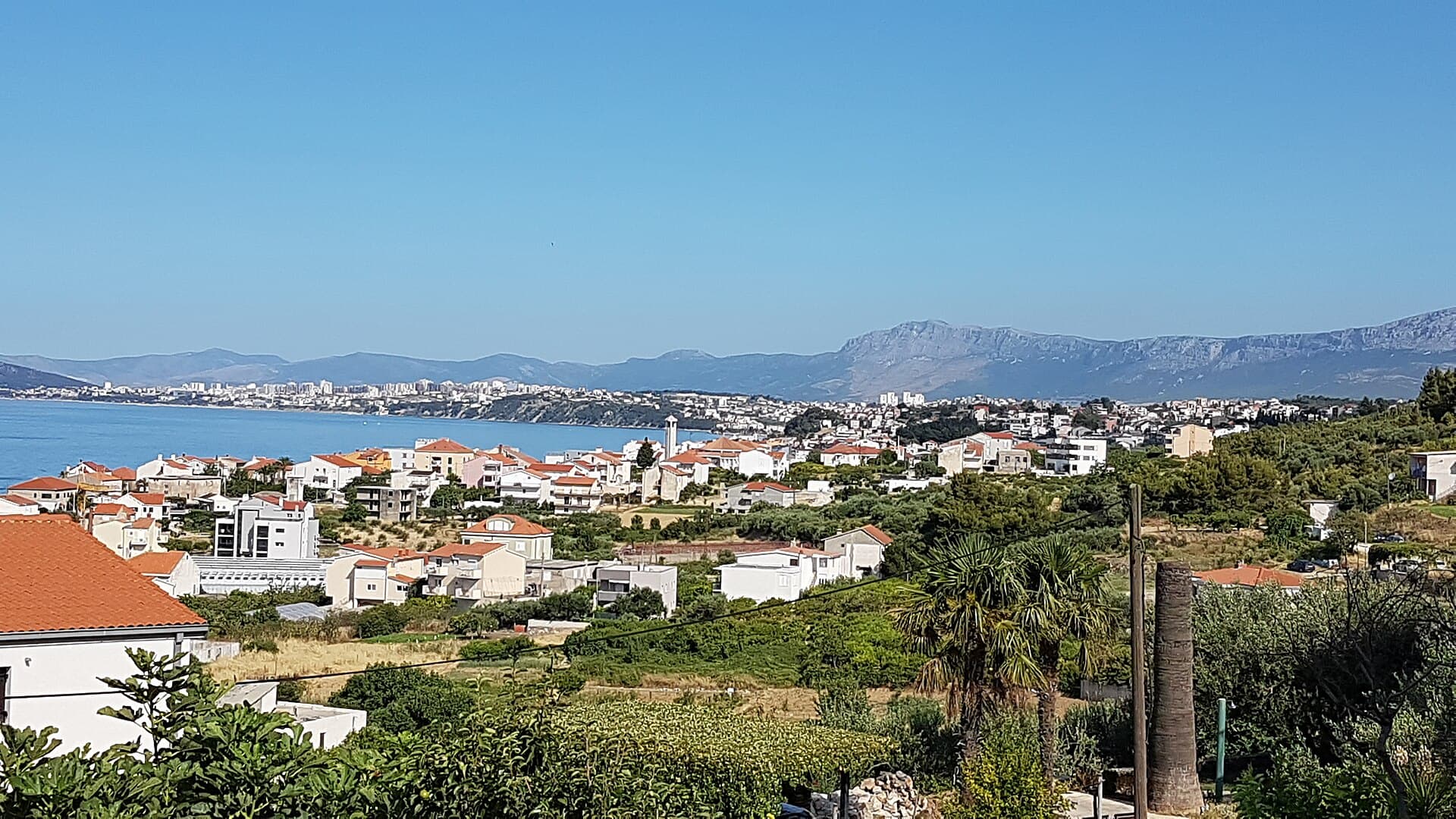
Podstrana is made up of five settlements. The oldest is Gornja Podstrana, set 290 to 340 metres above sea level beneath Perun, while Strožanac, Grljevac, Sveti Martin and Mutogras follow…
Read the guide

Brela
Brela is a municipal seat at the northern end of the Makarska littoral, about 15 km northwest of Makarska, on the Adriatic Highway and in a belt of pine forest at the foot of Biokovo. The…
Read the guide
Know Trilj? Correct us
Tell us in your own words what is not accurate. We check right away.Do not enter personal data. Corrections are checked by the StayBravo AI assistant; changes to the description are approved by an editor. Use the form instead
Do you know Trilj?
Help the guests who come after you.
Help us complete
Nothing is published without an editor’s review.Report illegal content
Photo credits: Gardun, Tilurium — Ante Perkovic (CC BY-SA 3.0) · Strmendolac — Mislav991 (CC BY-SA 4.0) · Bisko — MaGa (CC BY-SA 4.0) · Nutjak — Bane77 (CC BY-SA 4.0) · Crkva Svih Svetih ispod Čačvine, Čačvina Castle — Brian Eager from Livno, Bosnia and Herzegovina (CC BY 2.0) · Villa Sara — Sara Stanic (courtesy of the property owner) · In The Palace — Partner (courtesy of the property owner) · Split — dronepicr (CC BY 2.0) · Baška Voda — Mario Žamić (CC BY-SA 3.0) · Podstrana — Romanm (CC BY-SA 4.0) · Brela — Josip-Pino Žamić (CC BY-SA 4.0)