Lovreć
About this place
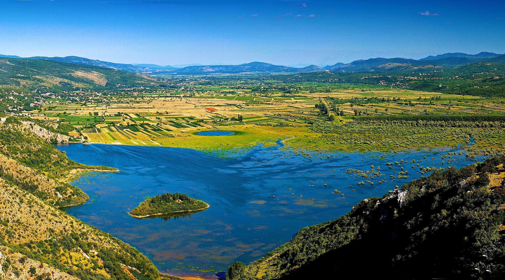
Lovreć occupies the elevated karst country of western Imotski, with the Lovreć–Opanci parish extending across terrain roughly 460 to 700 metres above sea level. Although the settlement looks towards Imotski, Makarska, Sinj and Split by road, the coast near Dubci is still about 15 kilometres away as the crow flies. Its character is therefore unmistakably that of the Dalmatian hinterland: the sea lies beyond the mountain rim, while fields, hamlets, hillfort sites and routes between Biokovo and Imotski polje shape the immediate landscape. The present parish boundaries date from 1734, and the name Lovreć gradually became dominant after Venetian-era administration separated Lovreć from Opanci. Modern Lovreć stands on the D60 state road linking Brnaze, Trilj, Cista Provo and Imotski, while county road Ž6155 reaches Aržano through Studenci. Municipal planning documents also identify Lovreć’s sports airfield and wind-power sites at Lovreć–Lokvičići and Kamenjak. Rather than a seaside resort, Lovreć works best as a base for western Imotski country and as a road junction between inland Dalmatia, Biokovo and the Makarska coast.
Lovreć belongs to Imotski Krajina, a historic and geographic region in the Dalmatian hinterland rather than on the coast. The municipality includes several settlements and hamlets, while Lovreć itself is its administrative centre, with the council offices on Ulica dr. Franje Tuđmana. Since 2018 it has formed part of the joint Imota Tourist Board, created to represent Imotski and eight surrounding municipalities. Its emerging visitor identity is based chiefly on rural holiday homes and touring the wider Imotski region. Lovreć consequently suits travellers interested in karst scenery and small inland communities, not those seeking the facilities of a conventional Adriatic resort.
Things to see
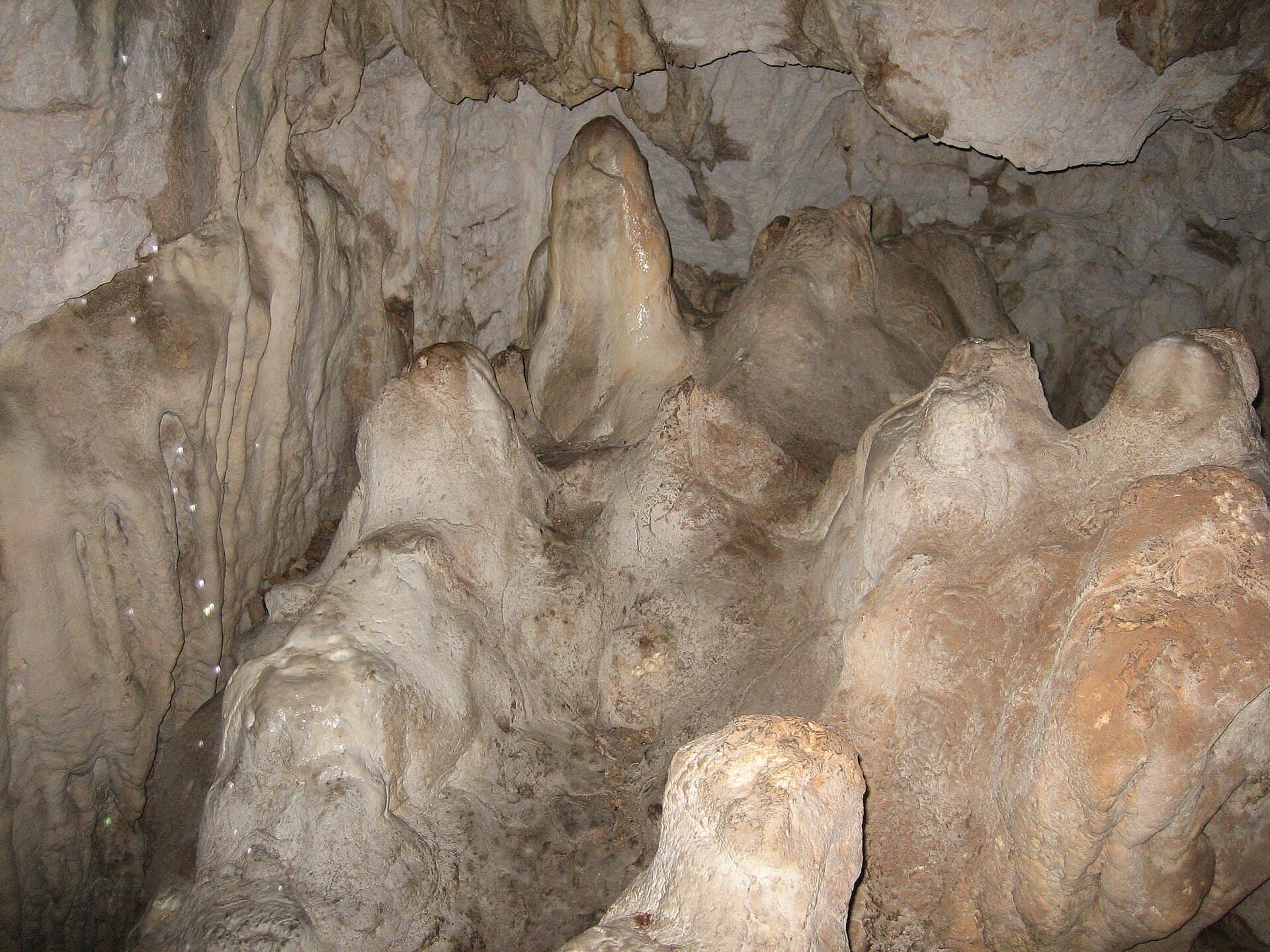

Crkva Uznesenja BDM u Bastu
Landmark · Bast, Baška Voda
The Church of the Assumption of the Blessed Virgin Mary in Bast is the present parish church, built in 1763 on the foundations of an earlier church.
16 km from Lovreć
Stays nearby
- Apartment
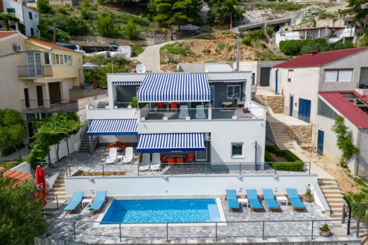 23 km from Lovreć
Be the first to list here
Guests looking for this place only see stays nearby for now. No commission, and enquiries come straight to you.
List your accommodation
Beaches
Lovreć has no beach of its own: the Lovreć–Opanci area rises between roughly 460 and 700 metres, while the shore near Dubci is about 15 kilometres away in a straight line. A swimming trip therefore means descending towards the Makarska Riviera. From the D60, the useful coastal approach is the D76, which crosses the Zagvozd area and reaches the D8 Adriatic Highway at Baško Polje. This route opens access to bathing spots around Baško Polje, Baška Voda and Brela, but the mountain crossing and summer traffic make the coast a planned outing rather than somewhere reached on foot from Lovreć.
Things to do
Begin in central Lovreć, where the municipal offices stand close to the Laurentius community centre, opened in 2021 as the first facility of its kind in Imotski Krajina. From there, use a car to explore the municipality’s hamlets and exposed karst landscape, stopping only where local access and traffic remain unobstructed. Continue the day in Imotski, the region’s principal town, since the shared destination organisation explicitly links Lovreć with Imotski and the neighbouring municipalities. With no dense network of signposted visitor sites, Lovreć works best as one stage of a road trip through the Dalmatian hinterland, paired with the natural and cultural landmarks of the wider Imota area.
Tours and activities
AdAd · partner offers: Viator, GetYourGuideThe partner handles booking, payment and support. StayBravo may earn a commission on bookings made through these links.How we choose offersWe choose offers based on the page you are viewing: the partner destination for this place or the nearest one (with its distance), and on a sight page only offers that mention it. We show offers rated at least 4.3 with at least 10 reviews, without multi-day tours or pure transfers, ordered by rating adjusted for the number of reviews and then by the partner’s order. We do not use data about you, and the commission does not affect the order.GetYourGuide offers are selected and ordered by GetYourGuide based on the name of the nearest larger town or national park; we do not influence their selection and do not use data about you.GetYourGuide · Makarska
We show GetYourGuide offers once you allow their cookies.
Viator
Nearest destination: Dalmatia (15 km)
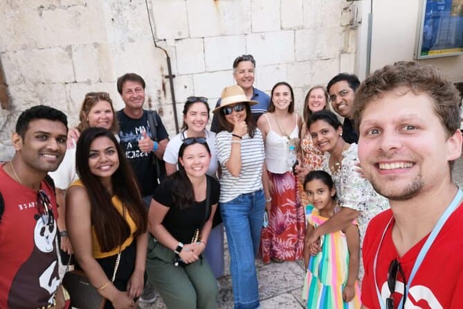
Split Walking Tour with Professor of History (opens in a new tab)
Private tours - [email protected] Professor of history and experienced local guide that started a new tour inside a city. Visiting Diocletians palace is great, but visiting Palace, Medieval…
Rated 5 out of 5 · 1,403 reviews· 2.3 h
Free cancellation
from €20
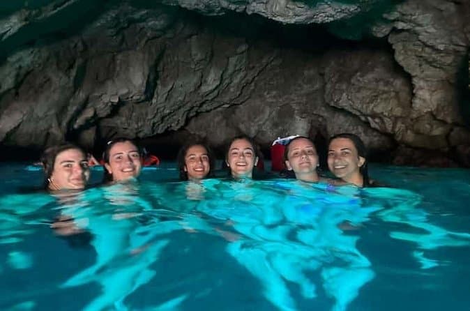
Dubrovnik: 7 Caves & Blue Cave Speedboat Tour (4h) (opens in a new tab)
Explore the famous Blue Cave and hidden sea caves on a small-group speedboat tour (max 8 guests) from Dubrovnik. Enjoy more time for swimming, snorkeling, and photo stops, plus complimentary drinks…
Rated 5 out of 5 · 1,967 reviews· 4 h
Free cancellation
from €60
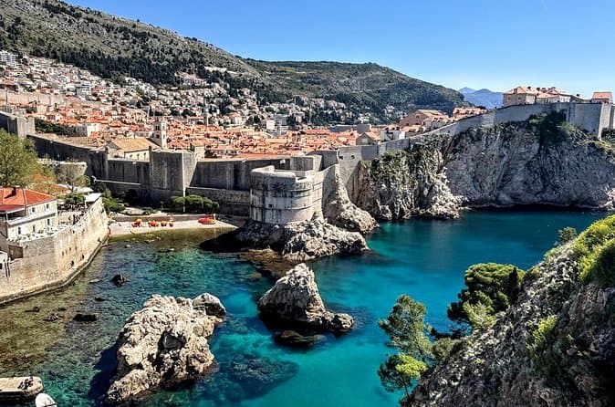
Game of Thrones and Old City Walking Tour in Dubrovnik (opens in a new tab)
Discover Dubrovnik & King's Landing – Two Experiences in One! Explore Dubrovnik's fascinating history and iconic Game of Thrones filming locations on an unforgettable 3-hour walking tour through the…
Rated 5 out of 5 · 965 reviews· 2.5–3 h
Free cancellation
from €33
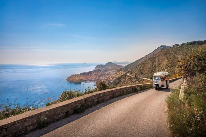
E-Tuk Tuk Tour in Dubrovnik (opens in a new tab)
This tour is ideal for the guests that want to avoid crowds. In this electric Tuk Tuk tour, we will go to the main viewpoints which are not accessible for the bigger vehicles. It is environmentally…
Rated 5 out of 5 · 1,920 reviews· 1.8 h
Free cancellation
from €40
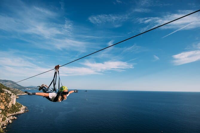
Dubrovnik Superman Zipline: 900m Over Adriatic Sea (opens in a new tab)
If you're searching for adrenaline and unique experience this is an activity for you. This 900 metres long Zipline is located on the Adriatic Sea, only 4 km from the Old town Dubrovnik. The superman…
Rated 5 out of 5 · 692 reviews· 1.3 h
Free cancellation
from €50
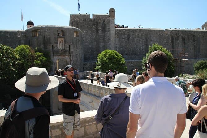
Dubrovnik: Discover the Old Town Walking Tour (opens in a new tab)
Best of the best 2024 winner! This tour is in the top 1% of the tours worldwide! Check out why! There are few places in Europe where medieval walls, red-tiled roofs and marble streets meet the…
Rated 4.9 out of 5 · 5,215 reviews· 1.5 h
Free cancellation
from €20
Practical information
Getting there and around
Lovreć stands on the D60 state road, the inland route running through Brnaze, Trilj, Cista Provo, Imotski and Vinjani Donji, so a car is the most practical way to explore the municipality’s scattered settlements. County road Ž6155 links the area with Studenci and Aržano, while Ž6173 connects Lovreć and Opanci. Coastal journeys continue towards Zagvozd and the D76, which meets the Adriatic Highway at Baško Polje. Municipal information places Imotski 25 kilometres away, Makarska and Sinj 41 kilometres away, and Split 65 kilometres away. The published Imotski–Studenci–Split coach service calls at Studenci rather than central Lovreć, so its stop and limited departures need to be built into the journey.
Frequently asked questions
Is Lovreć on the coast?
No. Lovreć lies in Imotski Krajina beyond Mount Biokovo and has no seaside beaches.
Which tourist board covers Lovreć?
Lovreć is one of eight municipalities represented by the Imota Tourist Board, founded with the Town of Imotski in 2018.
Where are the municipal offices in Lovreć?
Lovreć municipal offices are at 7 Ulica dr. Franje Tuđmana; the official site lists public-service hours of 8am–1pm on weekdays.
Nearby
Lovreć
Open in OpenStreetMap(opens in a new tab)Smaller places
straight-line distance
Related guides
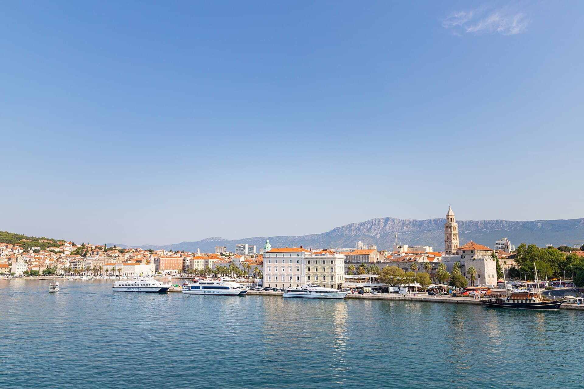
Split
In Split, the transition from ancient monument to ordinary street is almost imperceptible: entering the southern part of Diocletian’s Palace from the Riva leads towards the Peristyle, then…
Read the guide

Baška Voda
Baška Voda lies in the western part of the Makarska Riviera directly below the Biokovo massif. Once a fishing and seafaring settlement, it developed into a resort whose centre remains…
Read the guide
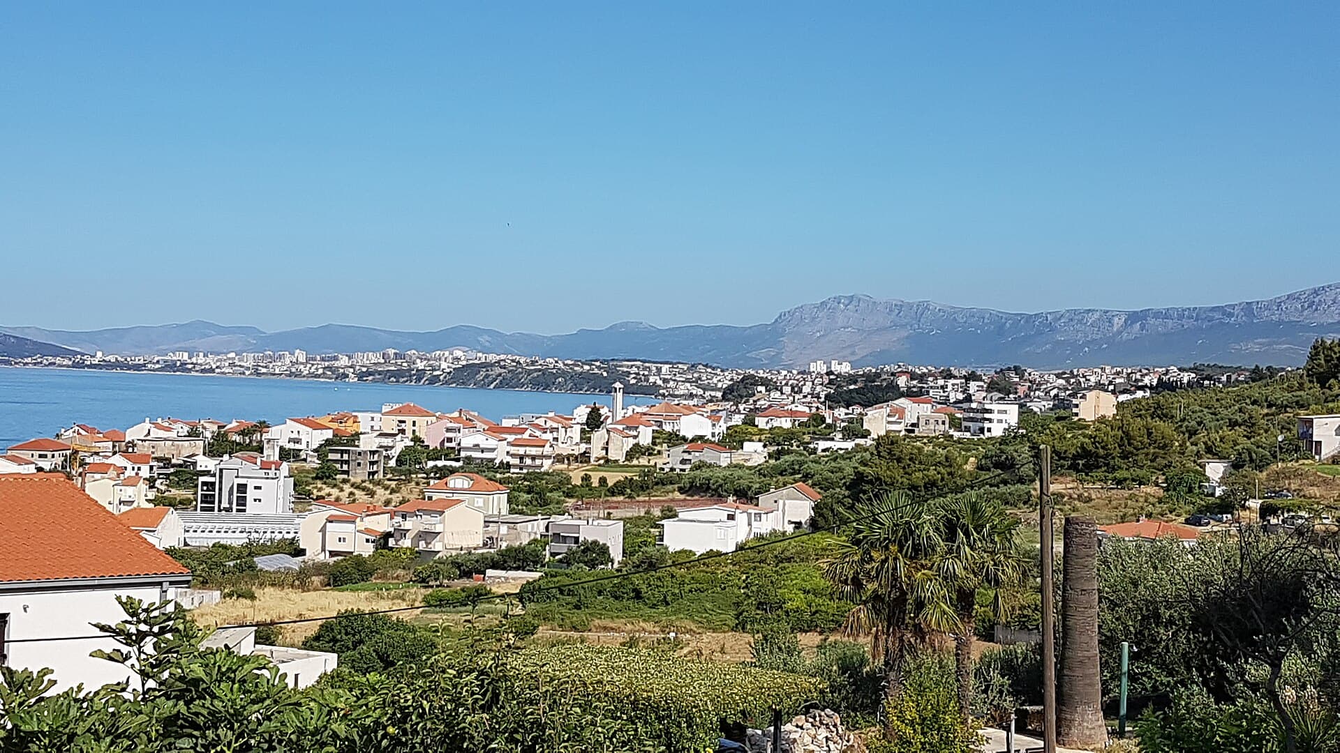
Podstrana
Podstrana is made up of five settlements. The oldest is Gornja Podstrana, set 290 to 340 metres above sea level beneath Perun, while Strožanac, Grljevac, Sveti Martin and Mutogras follow…
Read the guide

Brela
Brela is a municipal seat at the northern end of the Makarska littoral, about 15 km northwest of Makarska, on the Adriatic Highway and in a belt of pine forest at the foot of Biokovo. The…
Read the guide
Know Lovreć? Correct us
Tell us in your own words what is not accurate. We check right away.Do not enter personal data. Corrections are checked by the StayBravo AI assistant; changes to the description are approved by an editor. Use the form instead
Do you know Lovreć?
Help the guests who come after you.
Help us complete
Nothing is published without an editor’s review.Report illegal content
Photo credits: Žeževica, Grabovac, Šestanovac, Sveti Ilija Tunnel, Crkva Uznesenja BDM u Bastu, Baška Voda — Mario Žamić (CC BY-SA 3.0) · Aržano — Rl91 (Public domain) · Ikovača — Saxum (Public domain) · Prološko blato — Branko Čović (CC BY-SA 2.0) · Villa Sara — Sara Stanic (courtesy of the property owner) · Split — dronepicr (CC BY 2.0) · Podstrana — Romanm (CC BY-SA 4.0) · Brela — Josip-Pino Žamić (CC BY-SA 4.0)