
Čačvina
About this place
Čačvina is a tiny Dalmatian hinterland village about ten kilometres southeast of Trilj, set at 683 metres above sea level beside the road to the Kamensko border crossing. It occupies the edge of a small karst field, beneath the ruins of a fortress that once watched the old route linking the Cetina region with south-western Bosnia. Recorded as a fortified place from the 14th century, Čačvina passed through the hands of the Nelipčić, Frankapan and Talovac families and Duke Stjepan Vukčić Kosača. The Ottomans captured it in 1513; after their withdrawal it became part of Venetian Dalmatia, before the fort was demolished under French rule in 1808. Below the walls stands All Saints’ Church, created when the earlier Chapel of St Joseph was enlarged in 1792 and surrounded by a cemetery with distinctive stone crosses. Čačvina is therefore suited to a compact heritage visit rather than a conventional seaside stay: its appeal comes from the stark karst setting, its strategic position on the route toward Bosnia and Herzegovina, and the protected ensemble formed by the ruined stronghold and church.
Čačvina belongs to the City of Trilj, yet its position at 683 metres on the route toward Kamensko gives it the character of an isolated lookout above the Cetina region. The village grew beside a small karst field, while the ruined fortress recalls the road that carried traffic toward south-western Bosnia for centuries. The protected heritage site includes both the stronghold and All Saints’ Church below it, so the historic core is best understood as one ensemble rather than two unrelated landmarks. Čačvina’s identity is also inseparable from its former frontier role: Ottoman forces held the fort from 1513 until 1718.
Things to see


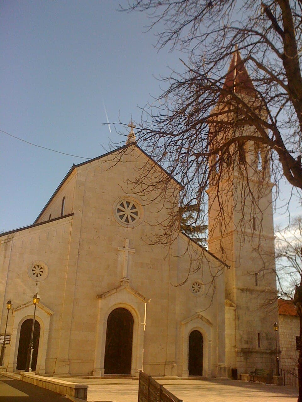
Crkva Svih Svetih ispod Čačvine
Landmark · Čačvina
The old Church of All Saints stands below Čačvina Fortress, forming part of Čačvina’s historic landscape.

Stays nearby
- Apartment
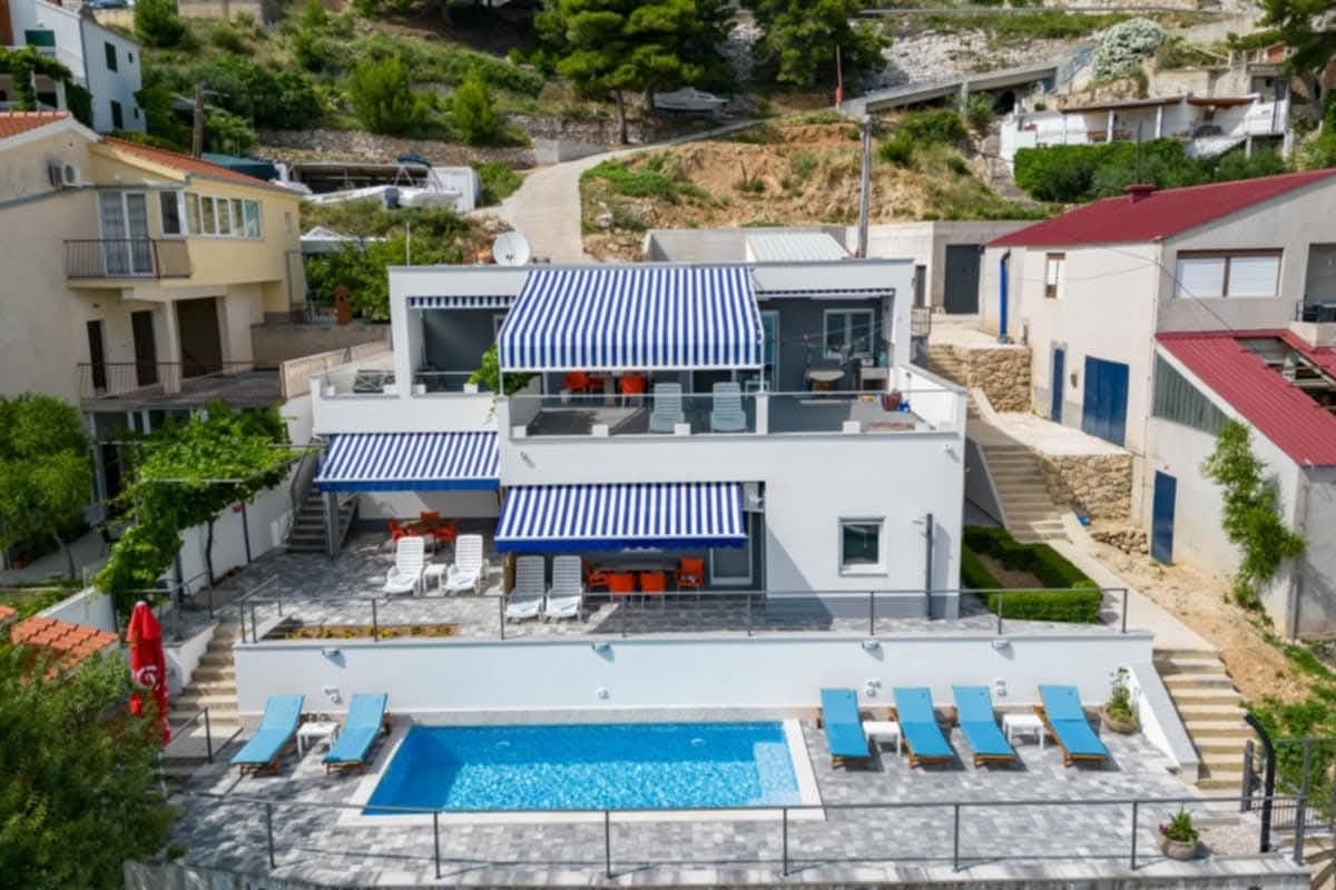 22 km from Čačvina
Be the first to list here
Guests looking for this place only see stays nearby for now. No commission, and enquiries come straight to you.
List your accommodation
Beaches
Čačvina is an inland village beneath its hilltop fortress, so swimming means descending towards the Cetina around Trilj. The city’s riverfront scheme covered the Drinić Veliki and Drinić Mali beaches together with a left-bank promenade stretching from Grab to Gubavica. Drinić Veliki was designed in terraces, with a sandy section, greenery, parking, benches, lighting and access planned for children and visitors with disabilities. Another Cetina option is the riverbank at Košute, where the City of Trilj allocated tourism-development funding for beach improvements in its 2025 programme. From Čačvina, both choices are reached by following the road downhill towards Trilj rather than continuing towards the Kamensko border crossing.
Things to do
Begin at All Saints’ Church, where distinctive stone crosses stand in the old cemetery and the façade rises into a bell tower with an open loggia and pyramidal top. Continue uphill to the ruins of Čačvina and notice how the fortress commanded the approach from Kamensko and Bosnia. Within the surviving walls, compare the stronghold’s two former sections and look back across the karst field and village. Finish beside the church: the present building dates from the 1792 enlargement of the Chapel of St Joseph, allowing Čačvina’s military history and religious heritage to be read together within a very small area.
Tours and activities
AdAd · partner offers: Viator, GetYourGuideThe partner handles booking, payment and support. StayBravo may earn a commission on bookings made through these links.How we choose offersWe choose offers based on the page you are viewing: the partner destination for this place or the nearest one (with its distance), and on a sight page only offers that mention it. We show offers rated at least 4.3 with at least 10 reviews, without multi-day tours or pure transfers, ordered by rating adjusted for the number of reviews and then by the partner’s order. We do not use data about you, and the commission does not affect the order.GetYourGuide offers are selected and ordered by GetYourGuide based on the name of the nearest larger town or national park; we do not influence their selection and do not use data about you.Viator
Nearest destination: Dalmatia (10 km)
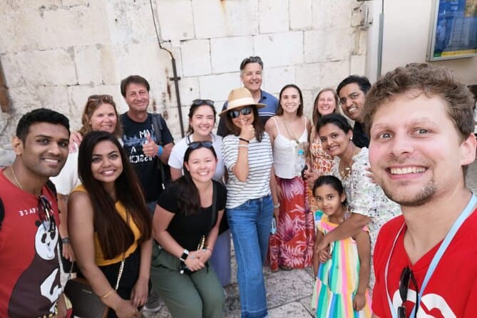
Split Walking Tour with Professor of History (opens in a new tab)
Private tours - [email protected] Professor of history and experienced local guide that started a new tour inside a city. Visiting Diocletians palace is great, but visiting Palace, Medieval…
Rated 5 out of 5 · 1,403 reviews· 2.3 h
Free cancellation
from €20
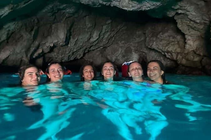
Dubrovnik: 7 Caves & Blue Cave Speedboat Tour (4h) (opens in a new tab)
Explore the famous Blue Cave and hidden sea caves on a small-group speedboat tour (max 8 guests) from Dubrovnik. Enjoy more time for swimming, snorkeling, and photo stops, plus complimentary drinks…
Rated 5 out of 5 · 1,967 reviews· 4 h
Free cancellation
from €60
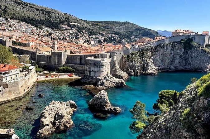
Game of Thrones and Old City Walking Tour in Dubrovnik (opens in a new tab)
Discover Dubrovnik & King's Landing – Two Experiences in One! Explore Dubrovnik's fascinating history and iconic Game of Thrones filming locations on an unforgettable 3-hour walking tour through the…
Rated 5 out of 5 · 965 reviews· 2.5–3 h
Free cancellation
from €33
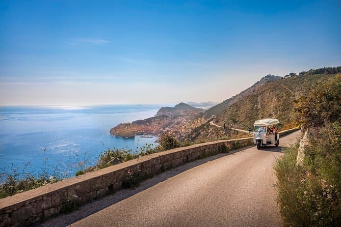
E-Tuk Tuk Tour in Dubrovnik (opens in a new tab)
This tour is ideal for the guests that want to avoid crowds. In this electric Tuk Tuk tour, we will go to the main viewpoints which are not accessible for the bigger vehicles. It is environmentally…
Rated 5 out of 5 · 1,920 reviews· 1.8 h
Free cancellation
from €40
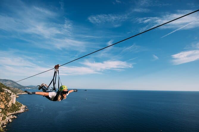
Dubrovnik Superman Zipline: 900m Over Adriatic Sea (opens in a new tab)
If you're searching for adrenaline and unique experience this is an activity for you. This 900 metres long Zipline is located on the Adriatic Sea, only 4 km from the Old town Dubrovnik. The superman…
Rated 5 out of 5 · 692 reviews· 1.3 h
Free cancellation
from €50
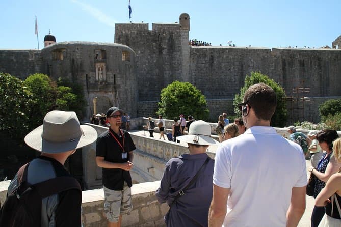
Dubrovnik: Discover the Old Town Walking Tour (opens in a new tab)
Best of the best 2024 winner! This tour is in the top 1% of the tours worldwide! Check out why! There are few places in Europe where medieval walls, red-tiled roofs and marble streets meet the…
Rated 4.9 out of 5 · 5,215 reviews· 1.5 h
Free cancellation
from €20
GetYourGuide · Omiš
We show GetYourGuide offers once you allow their cookies.
Practical information
Getting there and around
Čačvina is reached by the road running from Trilj toward Kamensko and the border with Bosnia and Herzegovina; the village lies roughly ten kilometres southeast of Trilj. That approach follows the same corridor the fortress once guarded between the Cetina region and south-western Bosnia. A car is the most practical option for reaching the church-and-fort ensemble, with the final approach to the ruins made on foot over uneven karst ground. Čačvina has no coastal harbour or ferry connection, and its elevation of 683 metres can bring conditions quite different from those in Split and along the shore.
Frequently asked questions
How far is Čačvina from Trilj?
Čačvina lies about ten kilometres southeast of Trilj on the road toward Kamensko.
When was All Saints’ Church enlarged?
The Chapel of St Joseph was enlarged in 1792 to form today’s All Saints’ Church.
Is Čačvina Fortress protected?
The fortress and All Saints’ Church are jointly registered as protected cultural property under designation Z-3920.
Nearby
Čačvina
Open in OpenStreetMap(opens in a new tab)straight-line distance
Related guides
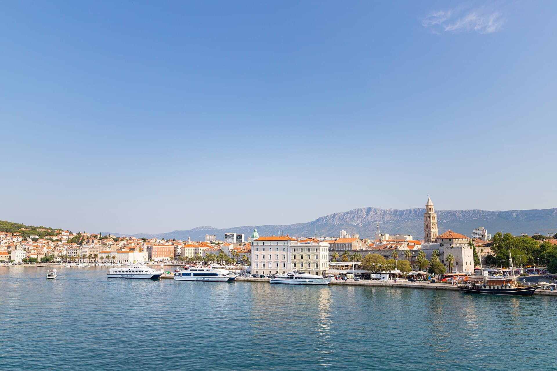
Split
In Split, the transition from ancient monument to ordinary street is almost imperceptible: entering the southern part of Diocletian’s Palace from the Riva leads towards the Peristyle, then…
Read the guide

Baška Voda
Baška Voda lies in the western part of the Makarska Riviera directly below the Biokovo massif. Once a fishing and seafaring settlement, it developed into a resort whose centre remains…
Read the guide
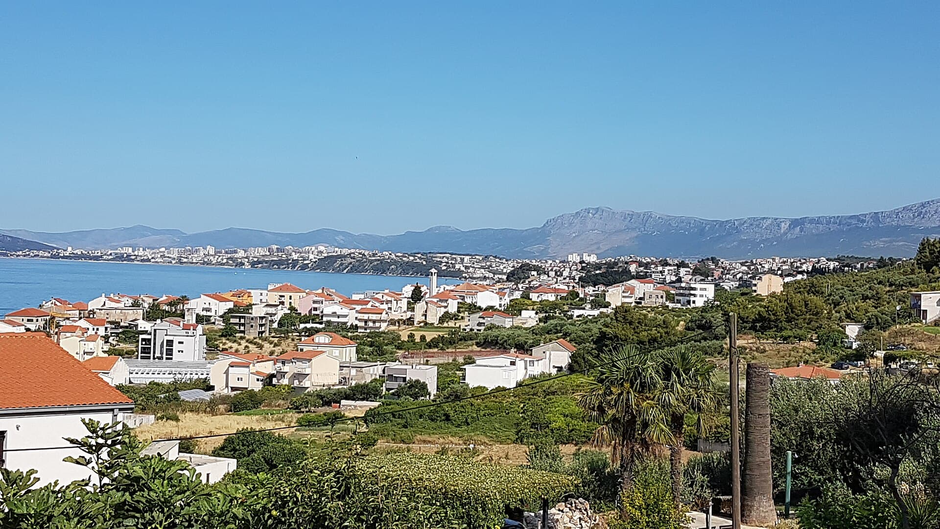
Podstrana
Podstrana is made up of five settlements. The oldest is Gornja Podstrana, set 290 to 340 metres above sea level beneath Perun, while Strožanac, Grljevac, Sveti Martin and Mutogras follow…
Read the guide

Brela
Brela is a municipal seat at the northern end of the Makarska littoral, about 15 km northwest of Makarska, on the Adriatic Highway and in a belt of pine forest at the foot of Biokovo. The…
Read the guide
Know Čačvina? Correct us
Tell us in your own words what is not accurate. We check right away.Do not enter personal data. Corrections are checked by the StayBravo AI assistant; changes to the description are approved by an editor. Use the form instead
Do you know Čačvina?
Help the guests who come after you.
Help us complete
Nothing is published without an editor’s review.Report illegal content
Photo credits: Čačvina, Velić — Ante Pletikosić (CC BY-SA 4.0) · Strmendolac — Mislav991 (CC BY-SA 4.0) · Gardun, Tilurium — Ante Perkovic (CC BY-SA 3.0) · Čačvina Castle, Crkva Svih Svetih ispod Čačvine — Brian Eager from Livno, Bosnia and Herzegovina (CC BY 2.0) · St. Francis of Assisi church — Quahadi Añtó 07:39, 15 December 2012 (UTC) (CC BY-SA 3.0) · Villa Sara — Sara Stanic (courtesy of the property owner) · Split — dronepicr (CC BY 2.0) · Baška Voda — Mario Žamić (CC BY-SA 3.0) · Podstrana — Romanm (CC BY-SA 4.0) · Brela — Josip-Pino Žamić (CC BY-SA 4.0)