
Blato na Cetini
About this place
Blato na Cetini is a village in the Omiš hinterland, set at 340 metres above sea level in the Cetina valley and 23 kilometres north-east of Omiš. Its hamlets spread across Mosor’s north-eastern slopes and a lower limestone plateau, while a more fertile flysch belt beside the river explains the settlement’s long association with livestock farming. Blato belongs to the historic Radobilje district, ruled in the 15th century by the Bosnian Kingdom and Stjepan Kosača before passing under Ottoman control until the early 18th century. Its Church of the Assumption dates from the 18th century. A present-day visit is best built around the Cetina: local operators offer rafting, kayaking, canoeing, canyoning and hydrospeed, and the wider Šestanovac area has a river beach. Access changed significantly in 2007, when the Blato na Cetini interchange opened on the A1 Zagreb–Ploče motorway; rural accommodation and adventure tourism subsequently expanded. Blato is therefore an unusual Dalmatian base where direct motorway access meets river swimming and inland activities, while the Adriatic coast lies roughly 15 kilometres from the wider Šestanovac area.
Blato na Cetini occupies the river valley at 340 metres above sea level, between Mosor’s north-eastern slopes and a lower limestone plateau. Although only 23 kilometres north-east of Omiš, its landscape belongs firmly to the inland Omiš hinterland rather than the coast. Fertile flysch beside the Cetina supported sheep, cattle and pig farming, while the hamlets remained dispersed along the karst edge. Historically, the village formed part of the Radobilje district; the Bosnian Kingdom and Stjepan Kosača controlled it in the 15th century, followed by Ottoman rule until the early 18th century.
Things to see
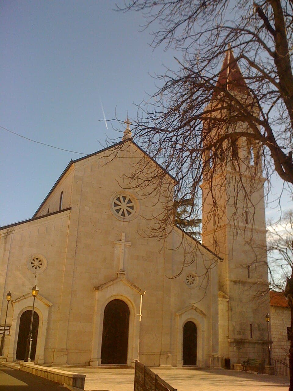


Crkva Svih Svetih ispod Čačvine
Landmark · Čačvina
The old Church of All Saints stands below Čačvina Fortress, forming part of Čačvina’s historic landscape.
7 km from Blato na Cetini

Stays nearby
- Apartment
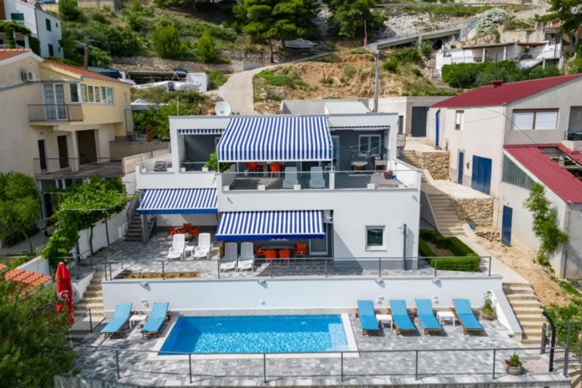 29 km from Blato na Cetini
Be the first to list here
Guests looking for this place only see stays nearby for now. No commission, and enquiries come straight to you.
List your accommodation
Beaches
Swimming near Blato na Cetini means entering the Cetina rather than heading straight to the Adriatic. The Šestanovac tourist board places a river beach about ten minutes from the municipal centre, while the first seaside beaches are roughly a twenty-minute drive away. The Cetina bathing spot works naturally with a day of kayaking, canoeing or rafting, although the current and stony riverbank require more care than a managed coastal beach. For a sea swim, continue towards the coast, approximately 15 kilometres from the wider Šestanovac area; the return to Blato leads back through the distinct inland landscape of Mosor and the Cetina.
Things to do
Spend the morning in the Cetina valley and around the bridge, where the relationship between Blato’s scattered hamlets, fertile flysch strip and Mosor’s rocky slopes is easiest to read. Continue to the 18th-century Church of the Assumption, the historic focus of the local parish. For a more energetic afternoon, choose an organised Cetina activity promoted by the Šestanovac tourist board: rafting, kayaking, canoeing, hydrospeed or canyoning. The day can end at the river beach, while experienced road cyclists can follow the longer route linking the Cetina area through Šestanovac and Blato with Gata, Žrnovnica and Stobreč.
Tours and activities
AdAd · partner offers: Viator, GetYourGuideThe partner handles booking, payment and support. StayBravo may earn a commission on bookings made through these links.How we choose offersWe choose offers based on the page you are viewing: the partner destination for this place or the nearest one (with its distance), and on a sight page only offers that mention it. We show offers rated at least 4.3 with at least 10 reviews, without multi-day tours or pure transfers, ordered by rating adjusted for the number of reviews and then by the partner’s order. We do not use data about you, and the commission does not affect the order.GetYourGuide offers are selected and ordered by GetYourGuide based on the name of the nearest larger town or national park; we do not influence their selection and do not use data about you.GetYourGuide · Omiš
We show GetYourGuide offers once you allow their cookies.
Viator
Nearest destination: Dalmatia (16 km)
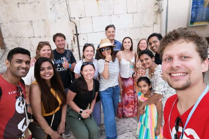
Split Walking Tour with Professor of History (opens in a new tab)
Private tours - [email protected] Professor of history and experienced local guide that started a new tour inside a city. Visiting Diocletians palace is great, but visiting Palace, Medieval…
Rated 5 out of 5 · 1,403 reviews· 2.3 h
Free cancellation
from €20
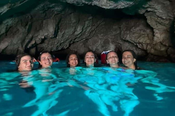
Dubrovnik: 7 Caves & Blue Cave Speedboat Tour (4h) (opens in a new tab)
Explore the famous Blue Cave and hidden sea caves on a small-group speedboat tour (max 8 guests) from Dubrovnik. Enjoy more time for swimming, snorkeling, and photo stops, plus complimentary drinks…
Rated 5 out of 5 · 1,967 reviews· 4 h
Free cancellation
from €60
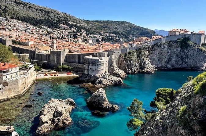
Game of Thrones and Old City Walking Tour in Dubrovnik (opens in a new tab)
Discover Dubrovnik & King's Landing – Two Experiences in One! Explore Dubrovnik's fascinating history and iconic Game of Thrones filming locations on an unforgettable 3-hour walking tour through the…
Rated 5 out of 5 · 965 reviews· 2.5–3 h
Free cancellation
from €33
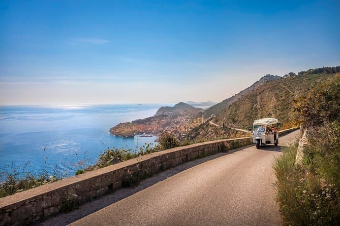
E-Tuk Tuk Tour in Dubrovnik (opens in a new tab)
This tour is ideal for the guests that want to avoid crowds. In this electric Tuk Tuk tour, we will go to the main viewpoints which are not accessible for the bigger vehicles. It is environmentally…
Rated 5 out of 5 · 1,920 reviews· 1.8 h
Free cancellation
from €40
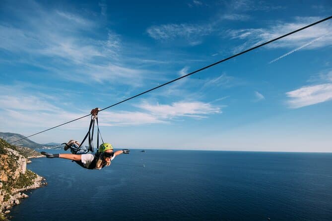
Dubrovnik Superman Zipline: 900m Over Adriatic Sea (opens in a new tab)
If you're searching for adrenaline and unique experience this is an activity for you. This 900 metres long Zipline is located on the Adriatic Sea, only 4 km from the Old town Dubrovnik. The superman…
Rated 5 out of 5 · 692 reviews· 1.3 h
Free cancellation
from €50
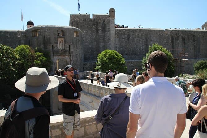
Dubrovnik: Discover the Old Town Walking Tour (opens in a new tab)
Best of the best 2024 winner! This tour is in the top 1% of the tours worldwide! Check out why! There are few places in Europe where medieval walls, red-tiled roofs and marble streets meet the…
Rated 4.9 out of 5 · 5,215 reviews· 1.5 h
Free cancellation
from €20
Practical information
Getting there and around
The most direct road approach uses the A1 motorway and the Blato na Cetini interchange, opened in 2007 on the Zagreb–Ploče corridor. Positioned between the Bisko and Šestanovac interchanges, it placed the village directly on Dalmatia’s main motorway axis and helped rural and adventure tourism grow. Blato lies 23 kilometres north-east of Omiš, with the final approach entering the Cetina valley at 340 metres above sea level. Published intercity timetables largely focus on larger terminals, so travellers arriving without a car should confirm the exact date and stopping point with the operator before departure.
Frequently asked questions
How far is Blato from Omiš?
Blato na Cetini lies 23 kilometres north-east of Omiš.
Does Blato have its own motorway exit?
Yes, the Blato na Cetini interchange on the A1 motorway opened in 2007.
Which Cetina activities are available?
The Šestanovac area offers Cetina rafting, kayaking, canoeing, canyoning and hydrospeed.
Nearby
Blato na Cetini
Open in OpenStreetMap(opens in a new tab)straight-line distance
Related guides
Split
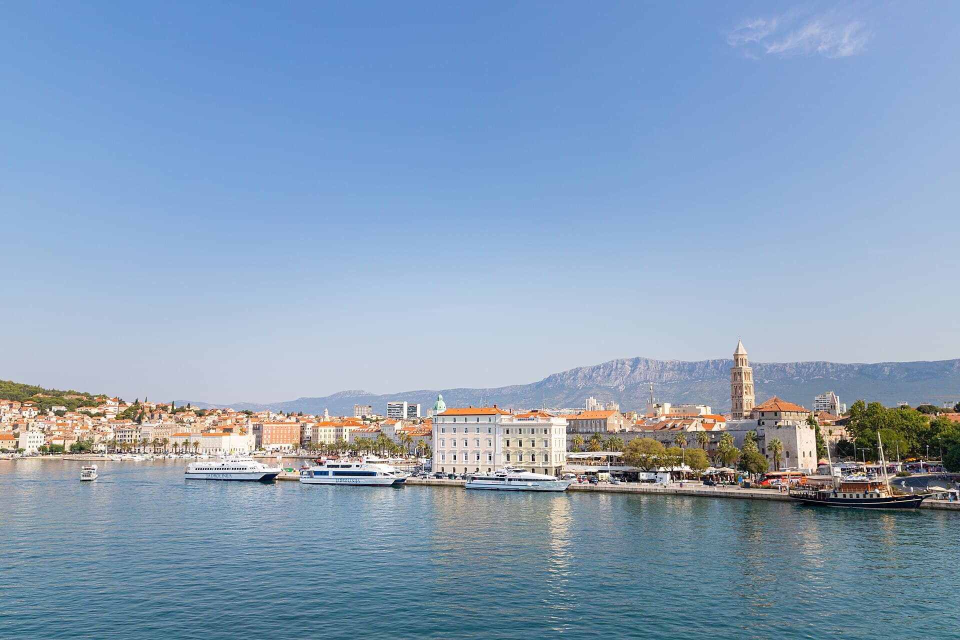
In Split, the transition from ancient monument to ordinary street is almost imperceptible: entering the southern part of Diocletian’s Palace from the Riva leads towards the Peristyle, then…
Read the guide

Baška Voda
Baška Voda lies in the western part of the Makarska Riviera directly below the Biokovo massif. Once a fishing and seafaring settlement, it developed into a resort whose centre remains…
Read the guide
Podstrana
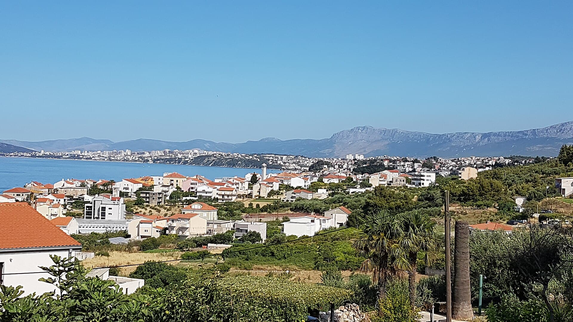
Podstrana is made up of five settlements. The oldest is Gornja Podstrana, set 290 to 340 metres above sea level beneath Perun, while Strožanac, Grljevac, Sveti Martin and Mutogras follow…
Read the guide

Brela
Brela is a municipal seat at the northern end of the Makarska littoral, about 15 km northwest of Makarska, on the Adriatic Highway and in a belt of pine forest at the foot of Biokovo. The…
Read the guide
Know Blato na Cetini? Correct us
Tell us in your own words what is not accurate. We check right away.Do not enter personal data. Corrections are checked by the StayBravo AI assistant; changes to the description are approved by an editor. Use the form instead
Do you know Blato na Cetini?
Help the guests who come after you.
Help us complete
Nothing is published without an editor’s review.Report illegal content
Photo credits: Blato na Cetini — MaGa (CC BY-SA 4.0) · Velić, Čačvina — Ante Pletikosić (CC BY-SA 4.0) · Ovrlja — Argo Navis (CC BY-SA 4.0) · St. Francis of Assisi church — Quahadi Añtó 07:39, 15 December 2012 (UTC) (CC BY-SA 3.0) · Čačvina Castle, Crkva Svih Svetih ispod Čačvine — Brian Eager from Livno, Bosnia and Herzegovina (CC BY 2.0) · Tilurium — Ante Perkovic (CC BY-SA 3.0) · Villa Sara — Sara Stanic (courtesy of the property owner) · Split — dronepicr (CC BY 2.0) · Baška Voda — Mario Žamić (CC BY-SA 3.0) · Podstrana — Romanm (CC BY-SA 4.0) · Brela — Josip-Pino Žamić (CC BY-SA 4.0)