Kapela
About this place
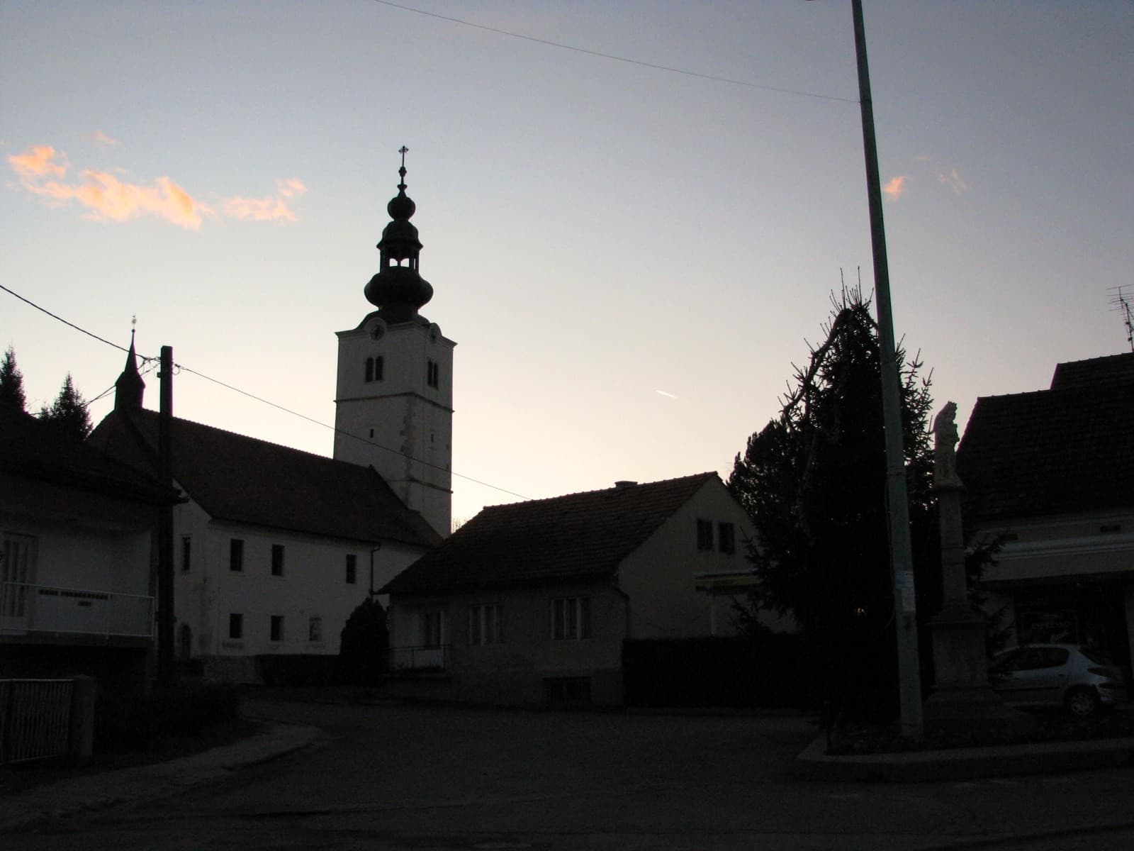
Kapela is a small settlement and municipal centre in the rolling Bilogora countryside north of Bjelovar, surrounded by minor roads, villages and farmland. Its focal point is the parish church of St Mary Magdalene on Svetog Florijana Street; the restored tower can be seen from the approach roads. Cycling is a practical way to explore: the county network includes the Kapela Route, while the Bilogora hiking map helps visitors plan longer rides and walks across the hills. The Bilogora Tourist Route also highlights local producers, including a beekeeping farm at Lipovo Brdo within Kapela municipality. Rather than offering a dense cluster of conventional sights, Kapela works best as a quiet base for seeing the church, following rural lanes and discovering the wider Bilogora landscape. Kapela appears in Čazmatrans’s county bus timetable, although services are much less frequent than in Bjelovar; a car or bicycle therefore gives considerably more freedom for reaching Lipovo Brdo and neighbouring villages. Bjelovar, roughly ten kilometres away by road, is the nearest larger transport and service centre.
Kapela lies in the Bilogora hinterland of Bjelovar, shaped by scattered villages and its role as the administrative centre of the municipality bearing the same name. The parish church of St Mary Magdalene on Svetog Florijana Street is the settlement’s clearest landmark, with its restored tower visible from the roads approaching Kapela. This is not a compact sightseeing district but a rural area of farms, hamlets and local lanes. The Kapela cycling route and the Bilogora Tourist Route therefore suit its character particularly well, the latter introducing producers such as the beekeeping farm at Lipovo Brdo. Exploring by bicycle or car allows visitors to connect these dispersed points, with nearby Bjelovar providing the closest urban complement.
Stays
No stays listed here yet
Things to do
Begin at the parish church of St Mary Magdalene, Kapela’s most recognisable central building, then follow the local roads into the Bilogora hills. Cyclists can use the Kapela Route from the county network, while the Bilogora hiking map provides a broader view of paths beyond the settlement itself. For a closer look at local production, continue to Lipovo Brdo, where the Bilogora Tourist Route highlights a beekeeping farm associated with honey and efforts to restore chestnut trees to the area. The outing can finish in Bjelovar, approximately ten kilometres away, though the sequence is best planned around daylight because Kapela’s points of interest are dispersed rather than arranged as a walkable town circuit.
Practical information
Getting there and around
Kapela relies on road connections with Bjelovar, about ten kilometres away, making a car the most practical option for arriving and continuing into the scattered Bilogora villages. In its 2025/2026 county timetable, Čazmatrans lists Kapela as a stop with several daily passing times, although availability depends on direction and operating day. Travellers changing in Bjelovar can confirm details at the operator’s office on Trg kralja Tomislava. A bicycle is a workable alternative for local exploration because the county network marks a dedicated Kapela Route, but Bilogora’s undulating terrain makes journeys slower than the short road distance might suggest. Kapela has no railway station, so public-transport journeys are normally organised by bus through Bjelovar.
Frequently asked questions
What is Kapela’s main landmark?
The principal landmark is the parish church of St Mary Magdalene, whose restored tower is visible from the approach roads.
Is there a cycling route through Kapela?
The county cycling network includes the Kapela Route, marked with the abbreviation KA.
Is there a bus to Kapela?
Kapela is listed as a stop in Čazmatrans’s 2025/2026 county timetable; the exact service depends on direction and operating day.
Nearby
Botinac
Village · Central Croatia
Lipovo Brdo
Village · Central Croatia
Related guides
Tuhelj
The population of the municipality has fallen from a peak of 3,780 in 1971 to 2,043 in 2021, and 61 people were lost in the last census decade alone. Eleven settlements, from Banska Gorica…
Read the guide

Help improve this page
Spot something missing or wrong? Suggest a correction, add your photo or report a problem. Editors review every suggestion before it is published.
Photo credits
- Tuhelj — Ex13 · CC BY-SA 3.0 · Wikimedia Commons
- Sveti Martin na Muri — Silverije · CC BY-SA 3.0 · Wikimedia Commons
- Velika Gorica — Frane Lovošević · CC BY-SA 3.0 · Wikimedia Commons
- Stubičke Toplice — MOs810 · CC BY-SA 4.0 · Wikimedia Commons

